This item has been sold, but you can enter your email address to be notified if another example becomes available.


|
||

|

|
|

|
Stock# 16446
Description
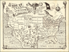
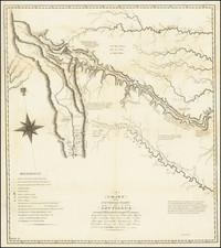
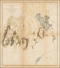
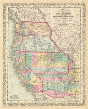
A highly detailed map of the Republic of Texas, often called the German Arrowsmith, from which it derives its cartography. Texas is shown in its maximum Republic configuration, with 30 counties identified in outline color. This map is certainly one of, if not the most detailed maps dedicated to the Republic of Texas to have appeared in an American atlas. It is especially strong in identifying early roads, rivers, towns and forts often not shown on other contemporary maps of Texas. Inset of Galveston Bay. The panhandle is divided into 12 sections. A scarce and desireable map. Very minor foxing and toning, else a nice example. Day p. 37; Texas State Archives #1457. Not in Streeter.