This item has been sold, but you can enter your email address to be notified if another example becomes available.


|
||

|

|
|

|
Stock# 13755
Description
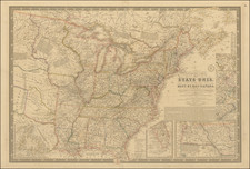
Rare map of the United States and Canada, from Indiana and Michigan in the West to Maryland and Nova Scotia in the East. The map is focused on the major transportation modes of the period, including Railroads, Canals, Stage Roads, Steamboat Routes, etc. Disturnell case maps are very rare. Only one example has appeared on the market in the past 25 years (Philadelphia Print Shop, 1984). A bit of soiling and offsetting, but generally a fine example, with original silk and marbled end papers.