This item has been sold, but you can enter your email address to be notified if another example becomes available.


|
||

|

|
|

|
Stock# 13529
Description
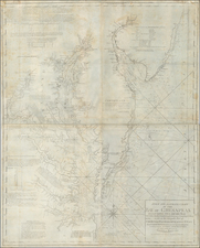
Detailed large format map of Florida, showing the extent of the surveys in the State of Florida in the year of its admission to the Union as a State. Shows extensive detail throughout Florida, including towns, forts, lakes, rivers, the Arredondo Grant, swamps, light houses, landings, etc. Ft. Dalles appears, but not Miami.
![(Southeast United States) Carte de la partie sud, des Etats Unis de L' amerique septentrionale [Map of the southern part of the United States of North America]](https://storage.googleapis.com/raremaps/img/small/98738.jpg)