
This item has been sold, but you can enter your email address to be notified if another example becomes available.


|
||

|

|
|

|
Stock# 13229
Description
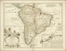
Detailed map of America, showing showing North America immediately prior to the discoveries of Lewis & Clark and South America on the eve of its century of Revolution. The map is dated 1808 and includes an unkown region west of the Rocky Moutains, pre-Humboldt configuation for the Rockies, limited knowledge of Louisiana Territory and NW Coast based upon Cook and Vancouver. Attractive and detailed. From Smith's General Atlas.

![[Portrait of Amerigo Vespucci] America Meridionale . . . 1823](https://storage.googleapis.com/raremaps/img/small/75917.jpg)
![America noviter delineata [ Heightened with Gold Leaf ]](https://storage.googleapis.com/raremaps/img/small/71040.jpg)
![Oceani Occidentalis Seu Terrae Novae Tabula [The Admiral's Map]](https://storage.googleapis.com/raremaps/img/small/102935.jpg)