This item has been sold, but you can enter your email address to be notified if another example becomes available.


|
||

|

|
|

|
Stock# 12563
Description
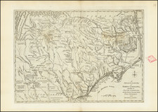
Scarce map of South Carolina, based upon the De Brahm map, from the Universal Magazine. Shows the Path from the Cherokees, Boundary line of 1772, Old Boundary Line, Forts, Distric Line, early Precincts, alongwith early roads, townships, towns, counties, rivers, lakes, mountains, inlets, islands, etc. Archivally reinforced with Japan Paper on verso. The map is now quite rare on the market. Jolly Univ-180.
![Carte Qui Contient La Maniere Dont Se Fait La Chasse Des Bouefs Sauvages . . . [Buffalo, Niagara Falls, Calumet Village, Huron & Illinois Indians]](https://storage.googleapis.com/raremaps/img/small/93146.jpg)

![[North Carolina]. Carte Geographique, Statistique Et Historique De La Caroline Du Nord](https://storage.googleapis.com/raremaps/img/small/57603.jpg)
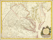
![[Jefferson's Notes on the State of Virginia] Observations sur la Virginie [with the map:] A Map of the country between Albemarle Sound, and Lake Erie, comprehending the whole of Virginia, Maryland, Delaware, and Pensylvania, with parts of several other of the United States of America. Engraved for the Notes on Virginia.](https://storage.googleapis.com/raremaps/img/small/51828.jpg)