


|
||

|

|
|

|
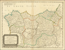
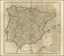
Scarce regional map of Spain, showing the Kingdom of Leon, Estremadura, La Mancha, Castille, etc.
Highly detailed. Includes towns, roads, rivers, castles, lakes, mountains, and many other details. Nice wide margins. Never folded. A few pieces of non-archival tape on the versowhich have not affected the image and could be removed.
John Senex (1678-1740) was one of the foremost mapmakers in England in the early eighteenth century. He was also a surveyor, globemaker, and geographer. As a young man, he was apprenticed to Robert Clavell, a bookseller. He worked with several mapmakers over the course of his career, including Jeremiah Seller and Charles Price. In 1728, Senex was elected as a Fellow of the Royal Society, a rarity for mapmakers. The Fellowship reflects his career-long association as engraver to the Society and publisher of maps by Edmund Halley, among other luminaries. He is best known for his English Atlas (1714), which remained in print until the 1760s. After his death in 1740 his widow, Mary, carried on the business until 1755. Thereafter, his stock was acquired by William Herbert and Robert Sayer (maps) and James Ferguson (globes).
![[ Spain & Portugal ] Hispania nach aller seiner gelegenheit in Bergen, Wåssern, Ståtten, Vólckern, Konigreichen und Inseln.](https://storage.googleapis.com/raremaps/img/small/80549.jpg)