
Search
Authentic old and antique maps of the United States of America for sale. Our rare U.S. map inventory features original antique Thirteen Colonies maps, Revolutionary War maps, old Civil War maps, and many other American historical subjects. We have antique map categories for all states and many important cities. Vintage pictorial maps of the United States of America are also for sale.
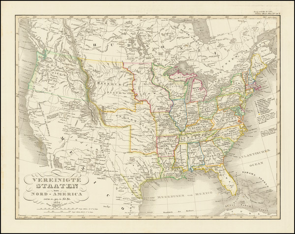
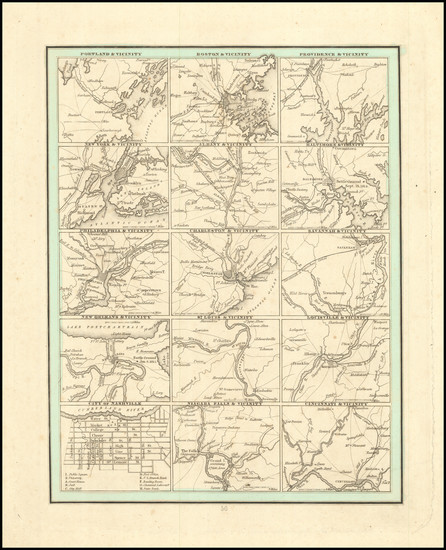
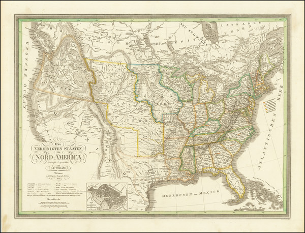
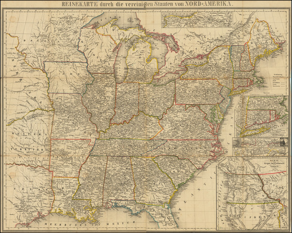
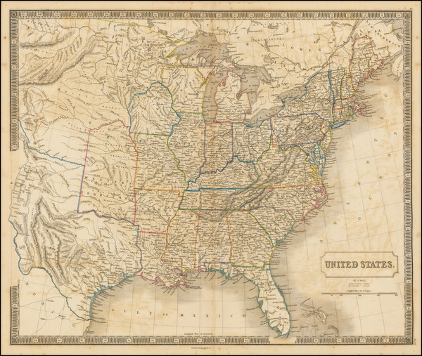
Place/Date:
Gotha / 1834
Size:
15.5 x 12.5 inches
Condition:
VG+
Stock#:
83363
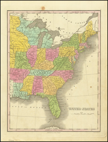
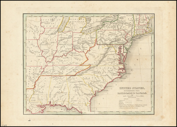
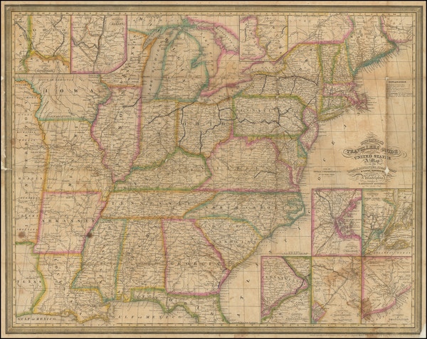
Place/Date:
Philadelphia / 1834
Size:
9 x 11.5 inches
Condition:
VG
Stock#:
84480
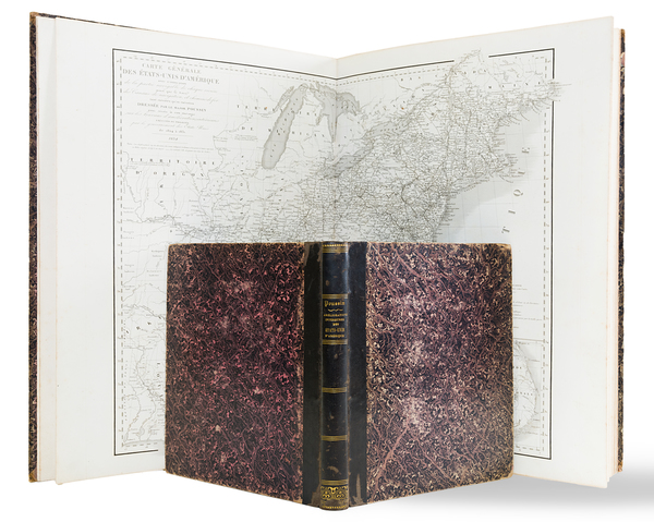
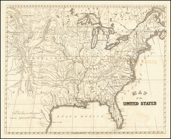
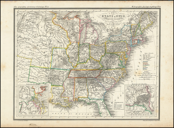
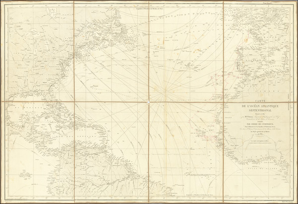
Place/Date:
Paris / 1834
Size:
14.5 x 20.25 inches (atlas volume)
Condition:
VG+
Stock#:
85067
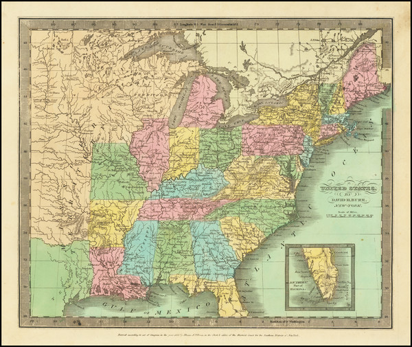
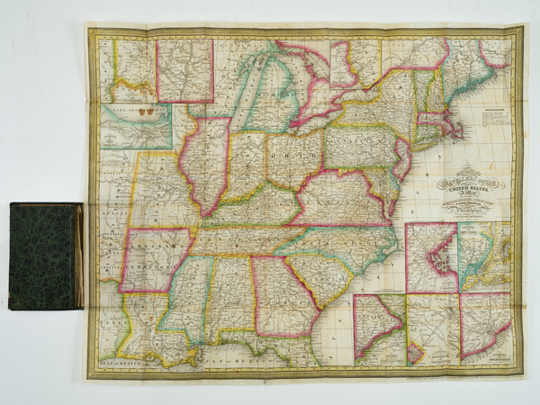
Place/Date:
New York / 1835
Size:
12.5 x 11 inches
Condition:
VG+
Stock#:
71862
Burr's 1835 original map showing the United States.
Place/Date:
Boston / 1835 circa
Size:
7.5 x 10 inches
Condition:
VG+
Stock#:
84556
Place/Date:
New York / 1835
Size:
10 x 7.5 inches
Condition:
VG+
Stock#:
91883
Place/Date:
n.p. / 1835 circa
Size:
14.5 x 11.75 inches
Condition:
VG+
Stock#:
100006
Place/Date:
Philadelphia / 1836
Size:
21 x 17 inches
Condition:
VG
Stock#:
90073
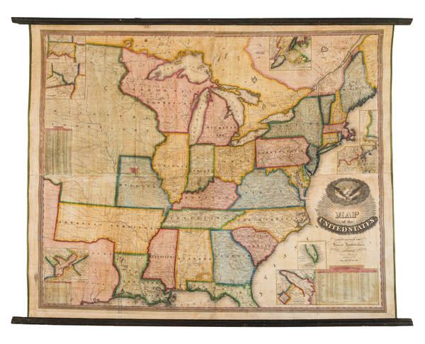
Place/Date:
Reading, Vermont / 1836
Size:
48 x 39 inches
Condition:
Good
Stock#:
96496
Place/Date:
Philadelphia / 1837
Size:
21.75 x 18.25 inches
Condition:
VG+
Stock#:
90000
Place/Date:
Boston / 1838
Size:
22.5 x 11 inches
Condition:
VG
Stock#:
90679
Place/Date:
Boston / 1838
Size:
22.5 x 11 inches
Condition:
VG
Stock#:
99298
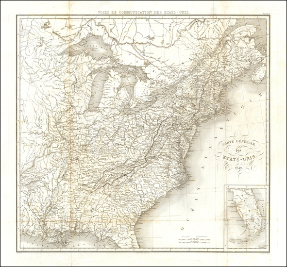
Place/Date:
Paris / 1840
Size:
25 x 23 inches
Condition:
Good
Stock#:
62421
Place/Date:
Philadelphia / 1841
Size:
22 x 18 inches
Condition:
Good
Stock#:
89996
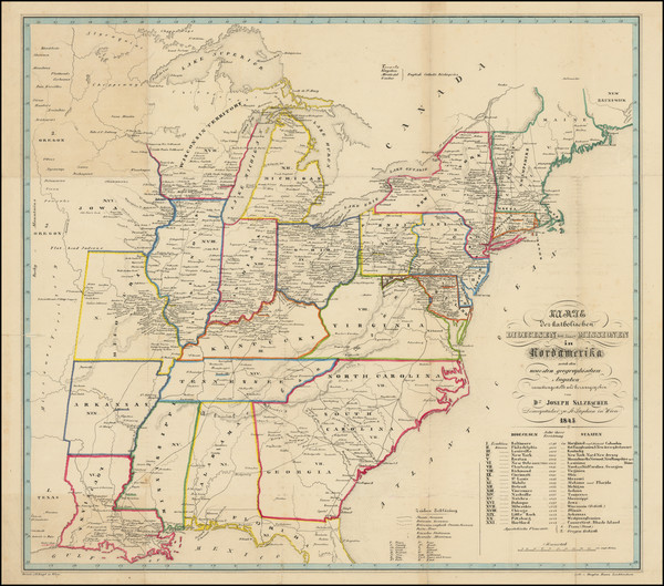
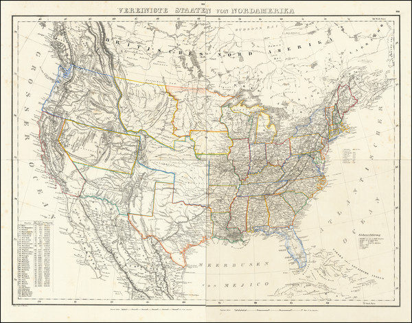
Place/Date:
Weimar / 1843
Size:
25 x 19 inches
Condition:
VG+
Stock#:
84473
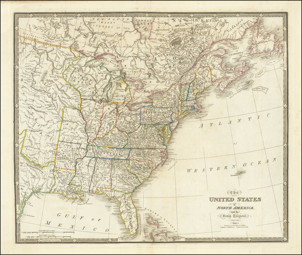
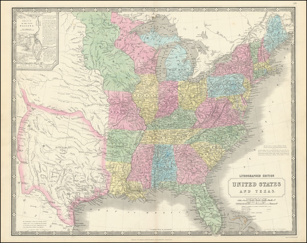
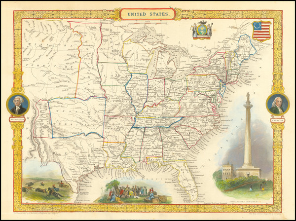
Place/Date:
London / 1843
Size:
25 x 21 inches
Condition:
VG+
Stock#:
87488
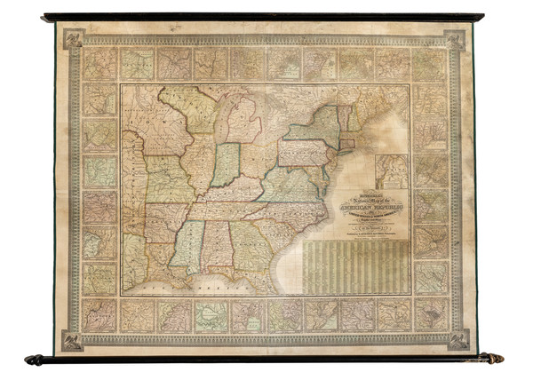
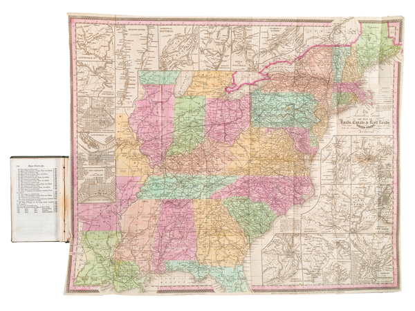
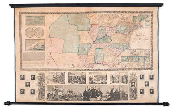
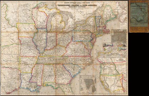
Place/Date:
Philadelphia / 1843
Size:
54.5 x 41.5 inches (including rods)
Condition:
VG
Stock#:
88611
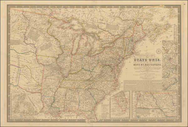
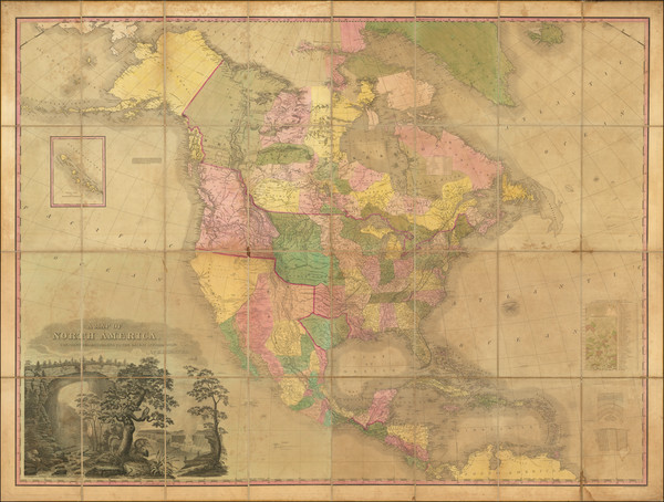
Place/Date:
Paris / 1843
Size:
36 x 24 inches
Condition:
VG
Stock#:
103478
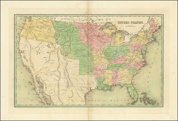
Place/Date:
New York / 1844
Size:
22.5 x 18.2 inches
Condition:
VG
Stock#:
99038
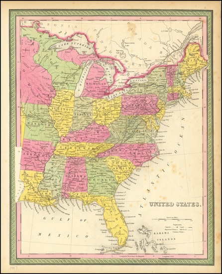
Place/Date:
Leipzig? / 1845 circa
Size:
14 x 11 inches
Condition:
VG
Stock#:
25442
Original map showing the United States by Anonymous, 1845.
Place/Date:
New York / 1845
Size:
46.5 x 29 inches (map only)
Condition:
VG
Stock#:
83796
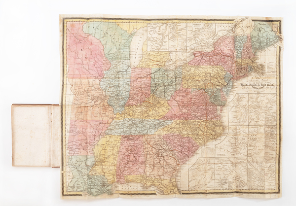
Place/Date:
Philadelphia / 1845
Size:
57.75 x 43.25 inches
Condition:
Good
Stock#:
98153mp2
Place/Date:
Vienna / 1845
Size:
20.25 x 18.25 inches
Condition:
VG
Stock#:
98630
Place/Date:
Edinburgh / 1845 circa
Size:
24.5 x 19.5 inches
Condition:
VG+
Stock#:
101139
Place/Date:
Philadelphia / 1845
Size:
25.5 x 17.5 inches
Condition:
Good
Stock#:
103233

Place/Date:
New York / 1845 circa
Size:
8.7 x 11.2 inches
Condition:
Good
Stock#:
103876
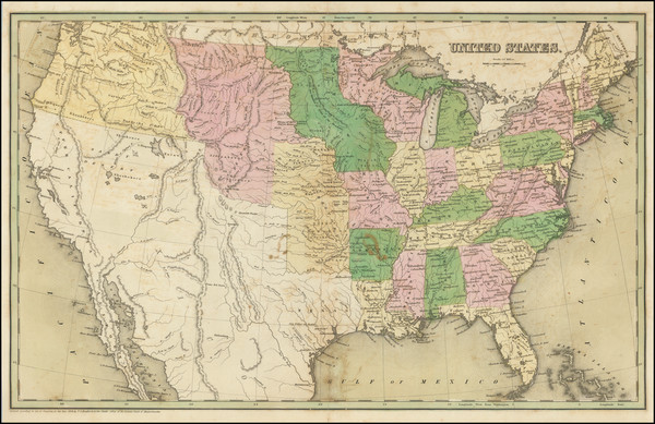
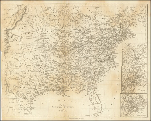
Place/Date:
Philadelphia / 1846
Size:
33.5 x 23.5 inches
Condition:
Good
Stock#:
68787
Place/Date:
New York / 1846
Size:
46 x 38 inches
Condition:
VG
Stock#:
82427mp2
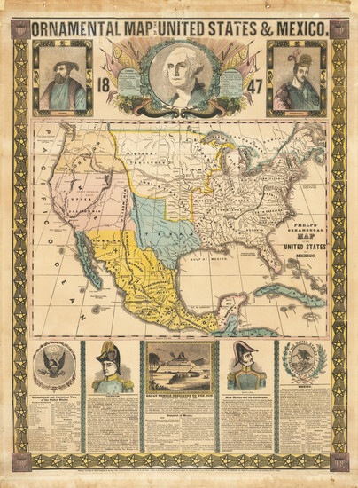
Place/Date:
Philadelphia / 1847
Size:
12 x 15 inches
Condition:
VG
Stock#:
81146
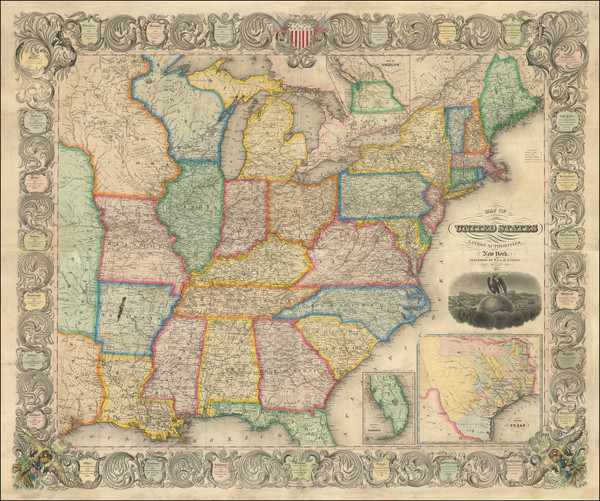
Place/Date:
New York / 1847
Size:
21 x 28 inches
Condition:
VG
Stock#:
92458

Place/Date:
Glogau / 1847
Size:
28 x 22 inches If Joined
Condition:
VG+
Stock#:
92015
Place/Date:
Washington, D.C. / 1848
Size:
7.75 x 9.75 inches
Condition:
VG+
Stock#:
101837
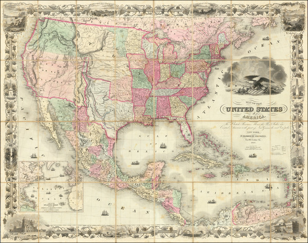
Place/Date:
New York / 1849
Size:
22.75 x 17.5 inches
Condition:
VG
Stock#:
95089
Place/Date:
New York / 1849
Size:
40 x 33 inches
Condition:
VG
Stock#:
101951
Place/Date:
Paris / 1850
Size:
13 x 9.7 inches
Condition:
VG
Stock#:
102966
Place/Date:
Glogau / 1851 circa
Size:
27.5 x 21.5 inches
Condition:
VG
Stock#:
79951
Place/Date:
London / 1851
Size:
13 x 10 inches
Condition:
VG+
Stock#:
84084
Place/Date:
Bamberg / 1852
Size:
21.5 x 29 inches
Condition:
VG
Stock#:
48081
Antique map showing the United States by Buchnerschen Buchhandlung, 1852.
Place/Date:
Wesel / 1852
Size:
26.8 x 21.6 inches
Condition:
VG
Stock#:
85066
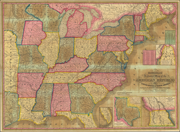
Place/Date:
Philadelphia / 1853
Size:
39 x 23 inches
Condition:
VG
Stock#:
85959
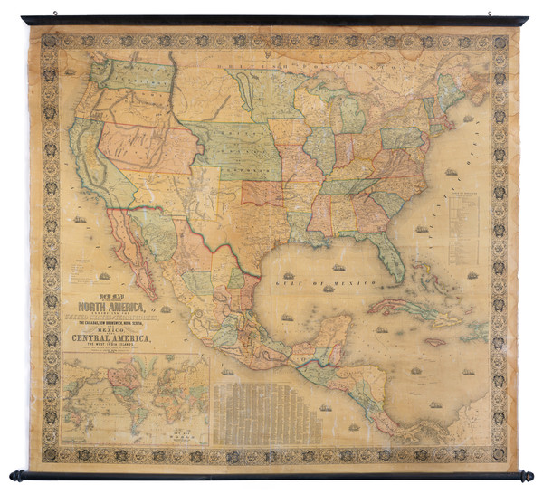
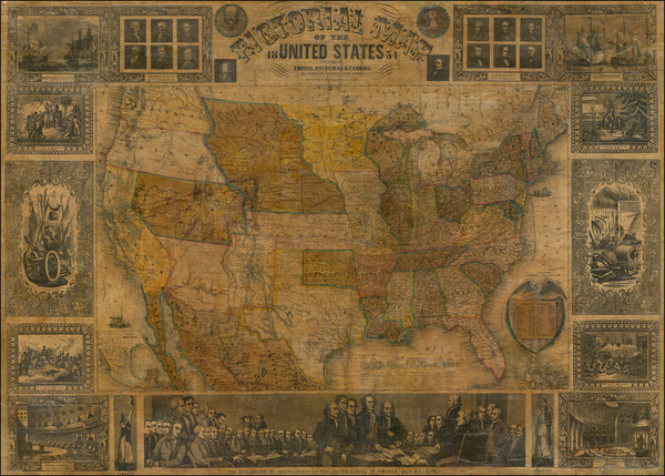
Place/Date:
Baltimore / 1853
Size:
59 x 56 inches
Condition:
VG
Stock#:
89814
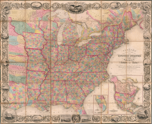
Place/Date:
New York / 1854
Size:
72 x 56 inches
Condition:
VG
Stock#:
58953
Smith's 1854 rare map showing the United States.
Place/Date:
Paris / 1854
Size:
36 x 24.5 inches
Condition:
VG
Stock#:
73192rd
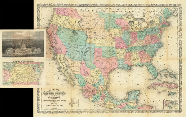
Place/Date:
New York / 1854 circa
Size:
26 x 19.7 inches
Condition:
VG
Stock#:
73424
Place/Date:
London / 1854
Size:
14 x 18.5 inches
Condition:
VG
Stock#:
91681
Place/Date:
New York / 1854
Size:
39.5 x 28.75 inches
Condition:
Fair
Stock#:
94040
Place/Date:
London / 1854 circa
Size:
20 x 16.5 inches
Condition:
Good
Stock#:
100822
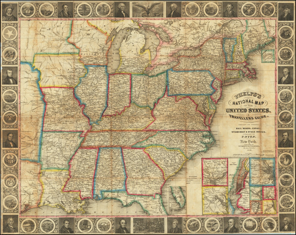
Place/Date:
New York / 1855
Size:
25.5 x 20.25 inches
Condition:
VG
Stock#:
82741
Rare map showing the United States by Phelps, 1855.
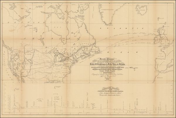
Place/Date:
Montreal / 1855
Size:
34.5 x 22.5 inches
Condition:
VG
Stock#:
89240
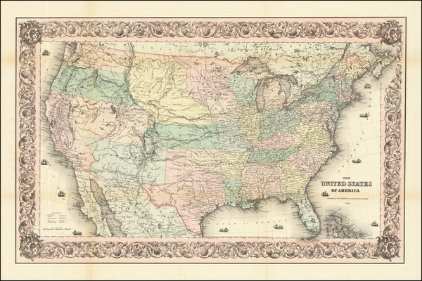
Place/Date:
New York / 1855
Size:
28 x 17.5 inches
Condition:
VG+
Stock#:
89964