
Search
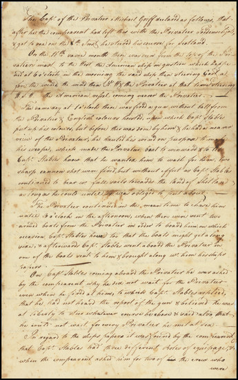
Place/Date:
[Scotland] / 1783
Size:
8 x 12.5 inches
Condition:
VG
Stock#:
82328
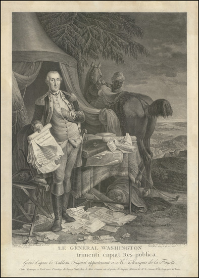
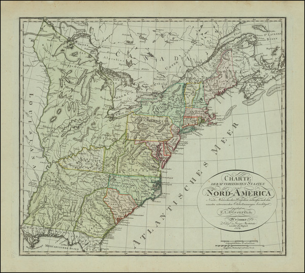
Place/Date:
Paris / 1784 circa
Size:
13 x 18.5 inches
Condition:
VG
Stock#:
99698
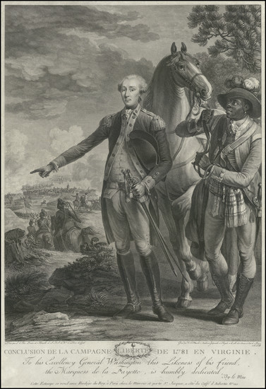
Place/Date:
Paris / 1784 circa
Size:
13 x 20 inches
Condition:
VG
Stock#:
103590
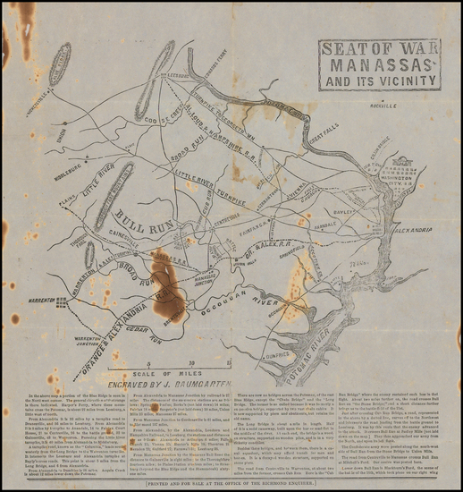
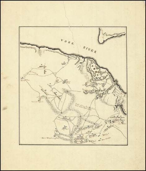
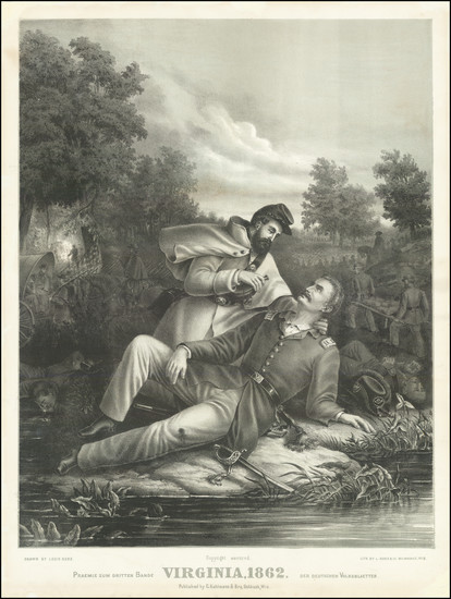
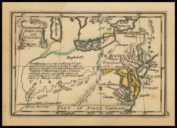
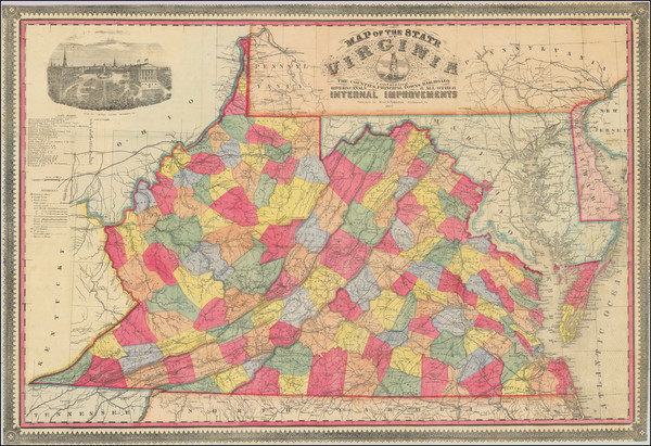
Place/Date:
Richmond, Virginia / 1861
Size:
11 x 11.5 inches
Condition:
Good
Stock#:
47507
1861 antique Baumgarten map showing Virginia.
Place/Date:
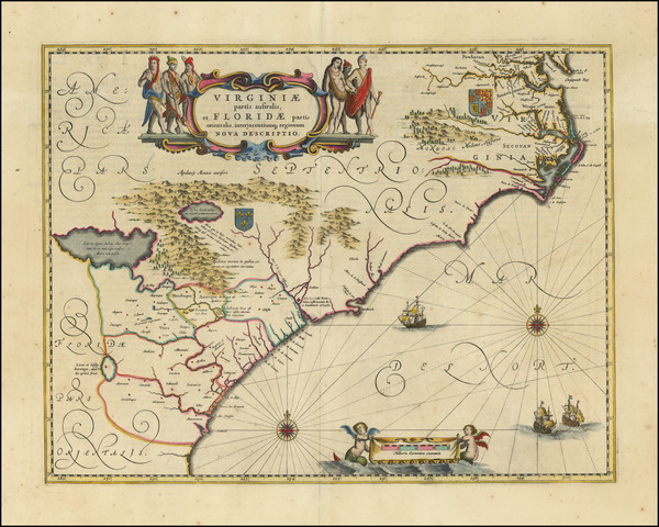
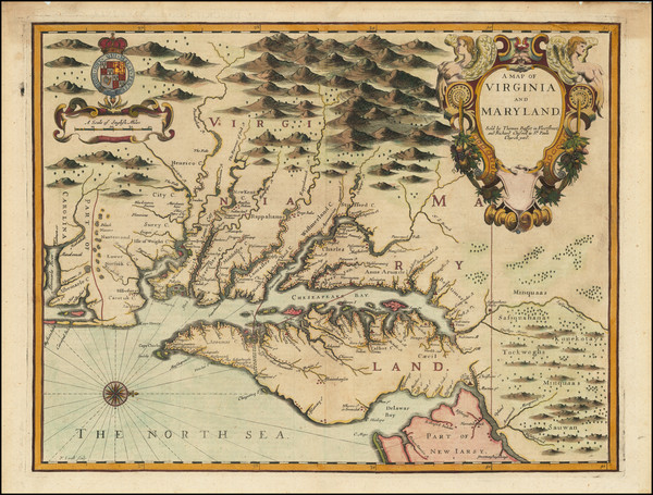
Amsterdam / 1640
Size:
20 x 15 inches
Condition:
VG+
Stock#:
94131
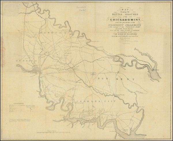
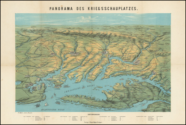
Place/Date:
Richmond, Virginia / 1862
Size:
20 x 16.5 inches
Condition:
VG
Stock#:
80374

Place/Date:
London / 1861
Size:
24.5 x 28 inches
Condition:
VG+
Stock#:
96007
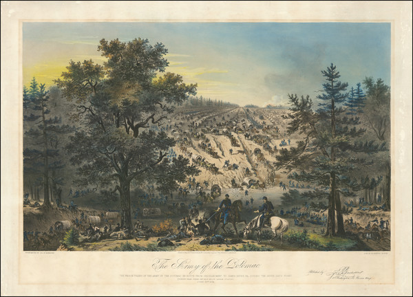
Place/Date:
Boston / 1863
Size:
27.5 x 19.5 inches
Condition:
VG
Stock#:
96097
Place/Date:
New York / 1861
Size:
12.5 x 10 inches
Condition:
Good
Stock#:
94233
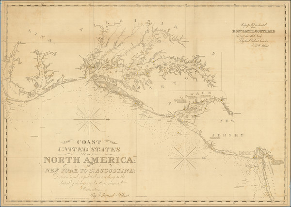
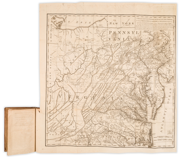
Place/Date:
Philadelphia? / 1810 circa
Size:
8.5 x 9.25 inches
Condition:
VG+
Stock#:
89413
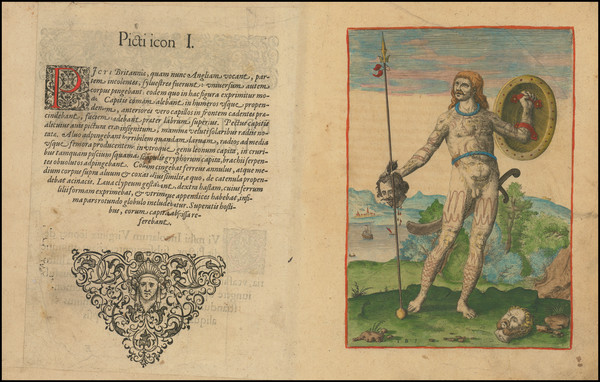
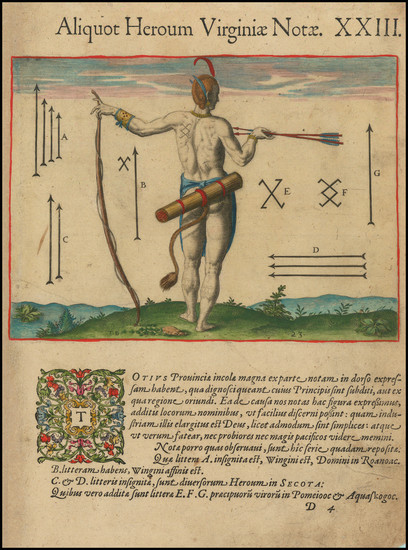
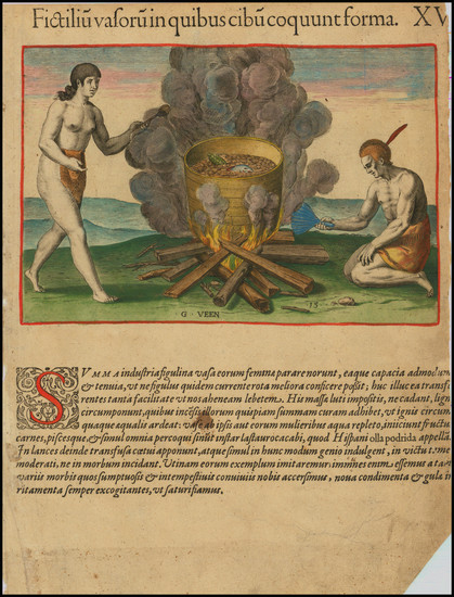
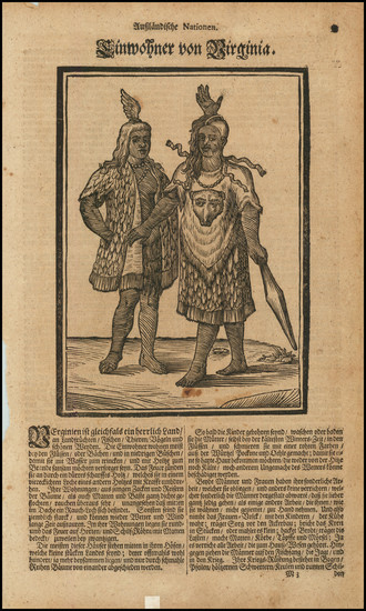
Place/Date:
Frankfurt / 1591
Size:
12 x 8 inches Image Only
Condition:
VG+
Stock#:
99647
Place/Date:
New York / 1859
Size:
30 x 20.5 inches
Condition:
Good
Stock#:
85965
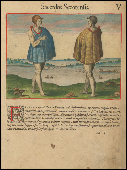
Place/Date:
Frankfurt / 1590
Size:
14 x 11 inches
Condition:
Good
Stock#:
97433
Place/Date:
Stuttgart / 1862
Size:
14.25 x 11 inches
Condition:
VG
Stock#:
99760
Place/Date:
[London?] / 1819 circa
Size:
14 x 10 inches Each (Est)
Condition:
VG
Stock#:
89500
Place/Date:
Paris / 1683
Size:
4.5 x 7 inches
Condition:
VG+
Stock#:
96604
Place/Date:
Oshkosh, Wisconsin / 1862
Size:
16 x 22.5 inches
Condition:
VG
Stock#:
93787
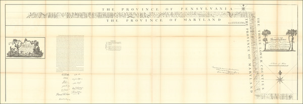
Place/Date:
Philadelphia / 1879 circa
Size:
78 x 26 inches (various sizes)
Condition:
VG
Stock#:
96836
Place/Date:
New York / 1827 (1840)
Size:
37 x 26.5 inches
Condition:
VG+
Stock#:
84684
Place/Date:
Amsterdam / 1640 circa
Size:
20 x 15 inches
Condition:
VG
Stock#:
81554

Place/Date:
Frankfurt / 1591
Size:
12.5 x 9.5 inches
Condition:
VG
Stock#:
98017
Place/Date:
Paris / 1780 circa
Size:
9 x 7 inches
Condition:
VG+
Stock#:
86570
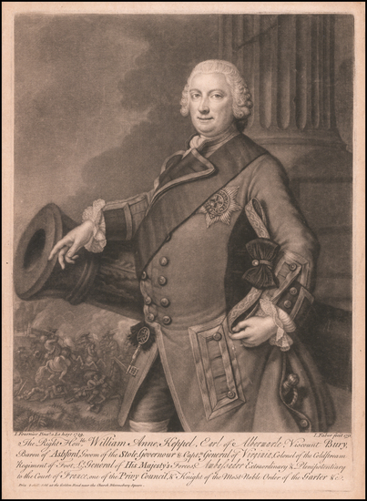
Place/Date:
London / 1758
Size:
3.75 x 2.5 inches
Condition:
VG+
Stock#:
98228
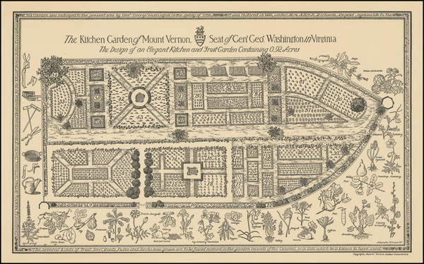
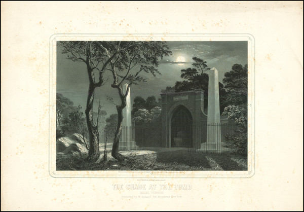
Place/Date:
n.p. (Mount Vernon, Virginia) / 1937
Size:
17.4 x 10.4 inches
Condition:
VG+
Stock#:
101604
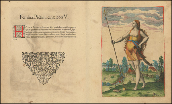
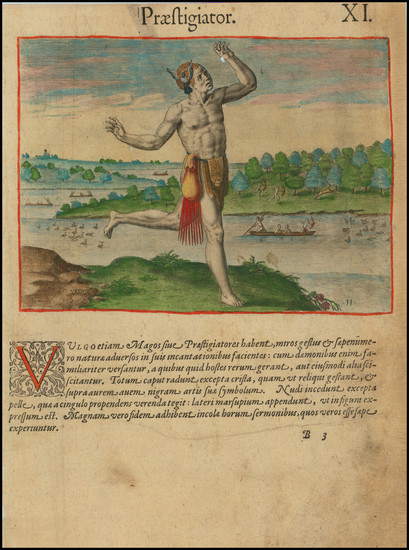
Place/Date:
Frankfurt / 1591
Size:
6.5 x 9 inches Image Only
Condition:
VG
Stock#:
99837
Place/Date:
Frankfurt / 1590
Size:
6.5 x 9 inches
Condition:
VG
Stock#:
99648
Place/Date:
Frankfurt / 1590
Size:
9 x 11.5 inches
Condition:
VG
Stock#:
98859
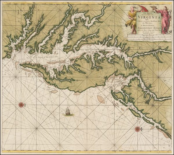
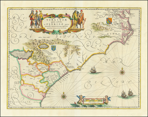
Place/Date:
Amsterdam / 1695 circa
Size:
23 x 20 inches
Condition:
VG
Stock#:
47255
1695 original Van Keulen map showing Virginia.
Place/Date:
Frankfurt / 1590
Size:
8.5 x 8.5 inches Including Text
Condition:
VG
Stock#:
99265
Place/Date:
Frankfurt / 1585
Size:
8.3 x 9 inches
Condition:
VG
Stock#:
98754
Place/Date:
Frankfurt / 1590
Size:
8.5 x 11.5 inches
Condition:
VG
Stock#:
98700
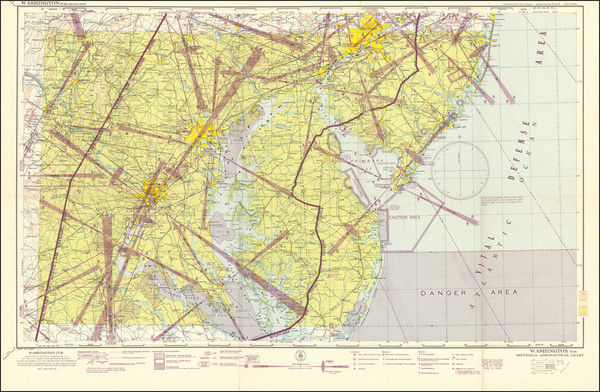
Place/Date:
Washington, D.C. / 1945
Size:
33.1 x 20.2 inches
Condition:
VG
Stock#:
99620
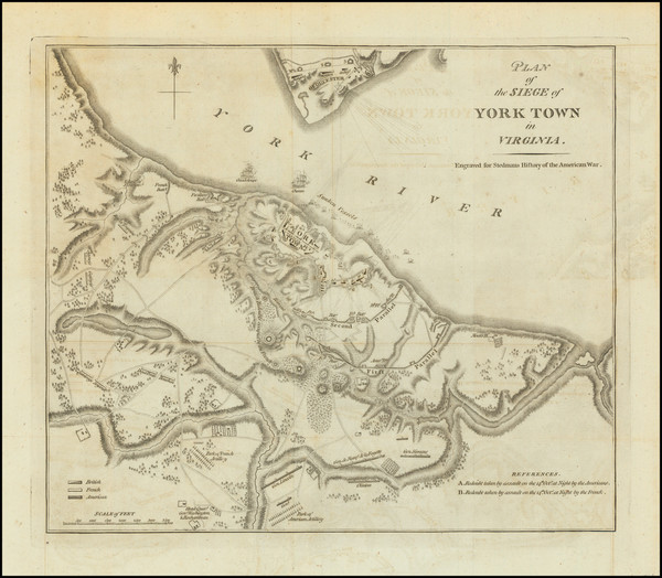
Place/Date:
London / 1793
Size:
12.75 x 11 inches
Condition:
VG+
Stock#:
102061

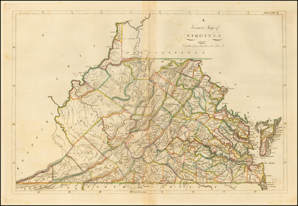
Place/Date:
Amherst County, Virginia / 1822
Size:
10.5 x 15.5 inches
Condition:
VG
Stock#:
73745
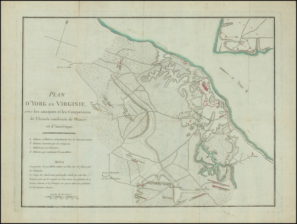
Place/Date:
Paris / 1787
Size:
15.5 x 11.5 inches
Condition:
VG
Stock#:
102603
Place/Date:
London / 1751
Size:
9.8 x 12.2 inches
Condition:
VG+
Stock#:
60432
1751 antique Faber / Fournier map showing Virginia.
Place/Date:
Hamburg / 1688
Size:
7 x 12 inches Including Text
Condition:
VG
Stock#:
94084
Place/Date:
Paris / 1786 [1787]
Size:
23 x 23 inches (map size)
Condition:
VG+
Stock#:
51828
Rare map showing Virginia by Jefferson made in 1786.
Place/Date:
Richmond, VA / 1862
Size:
37 x 26 inches
Condition:
VG
Stock#:
35235
1862 antique West & Johnston map showing Virginia.
Place/Date:
Nuremberg / 1804
Size:
20.5 x 18.25 inches
Condition:
VG+
Stock#:
91386
Place/Date:
Philadelphia / 1814
Size:
19 x 13.5 inches
Condition:
VG
Stock#:
52784
1814 rare Carey map showing Virginia.

Place/Date:
London / 1767 circa
Size:
23 x 18 inches
Condition:
VG
Stock#:
55267
Antique map showing Virginia by Grierson made in 1767.
Place/Date:
London / 1781
Size:
14.5 x 10 inches
Condition:
VG
Stock#:
96537
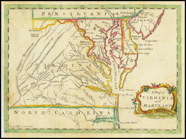
Place/Date:
London / 1755
Size:
8 x 5.5 inches
Condition:
VG
Stock#:
81587
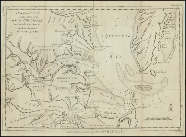
Place/Date:
London / 1676
Size:
19.5 x 15 inches
Condition:
VG
Stock#:
93641
Place/Date:
Boston / 1794 (1803)
Size:
41 x 33 inches
Condition:
VG
Stock#:
55919ops
Antique map showing Virginia by Norman, 1794.
Place/Date:
London / 1733
Size:
24.5 x 40.5 inches
Condition:
VG+
Stock#:
101277
Place/Date:
London / 1794
Size:
26 x 19.5 inches
Condition:
VG
Stock#:
49212
Laurie & Whittle's 1794 original map showing Virginia.
Place/Date:
London / 1688 (1693)
Size:
5 x 5 inches
Condition:
VG+
Stock#:
43053
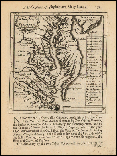
Morden's 1688 antique map showing Virginia.
Place/Date:
London / 1761
Size:
9 x 7 inches
Condition:
VG
Stock#:
91778