
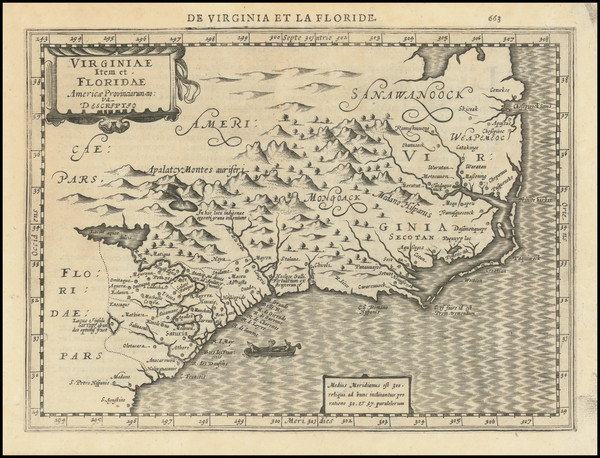
Search
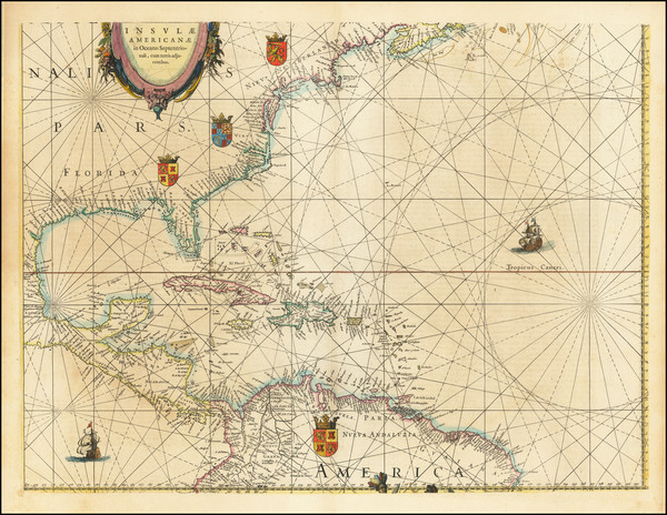
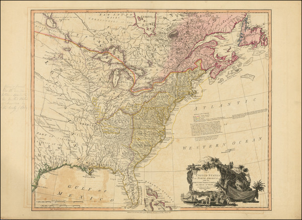
Place/Date:
Amsterdam / 1634
Size:
22 x 16.5 inches
Condition:
VG
Stock#:
75672
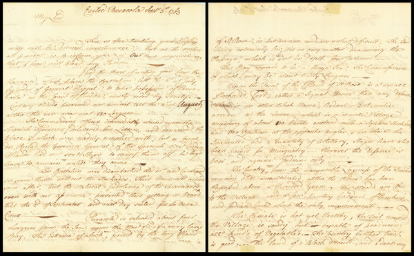
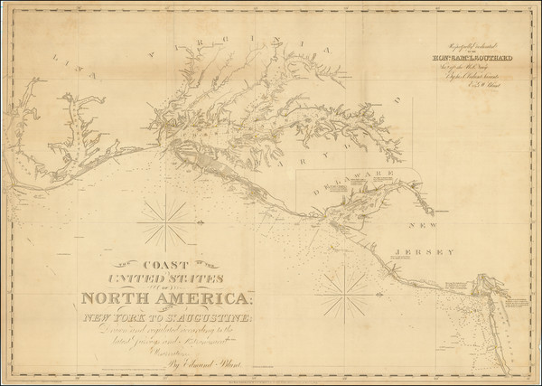
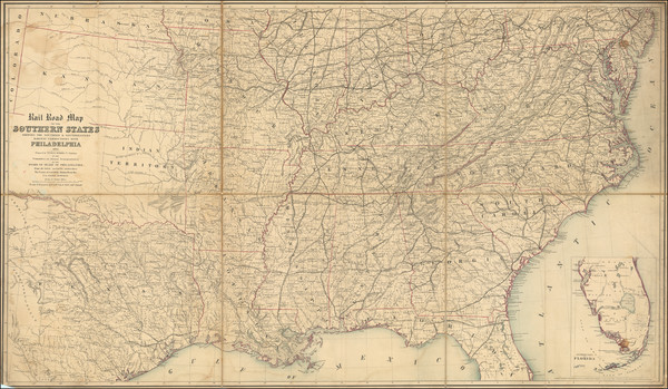
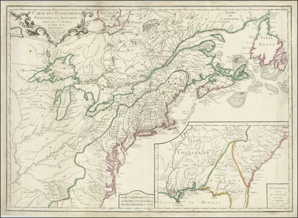
Place/Date:
Pensacola, Florida; Mobile; Philadelphia / 1797
Size:
9.5 x 15 inches
Condition:
VG+
Stock#:
90005
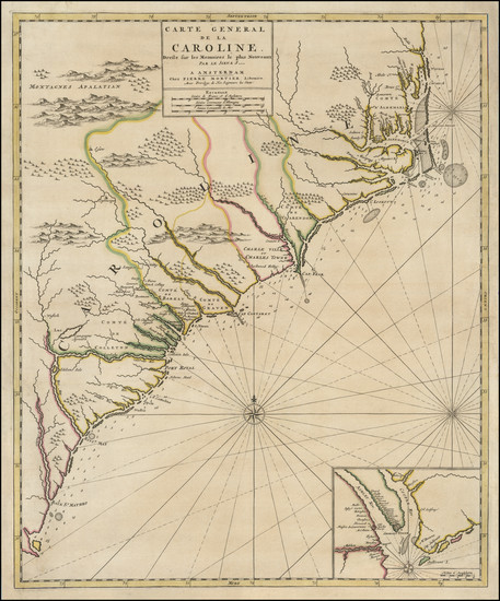
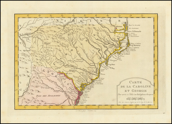
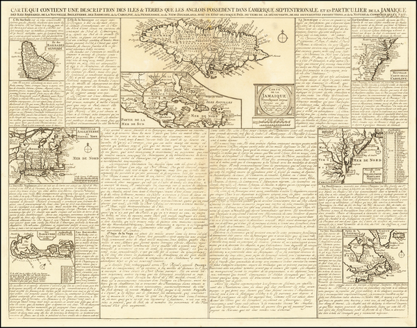
Place/Date:
Amsterdam / 1696
Size:
18.5 x 22 inches
Condition:
VG
Stock#:
92254
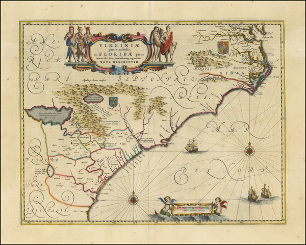
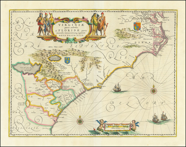
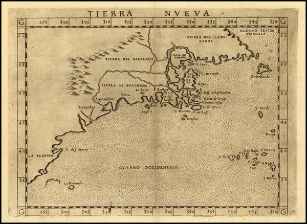
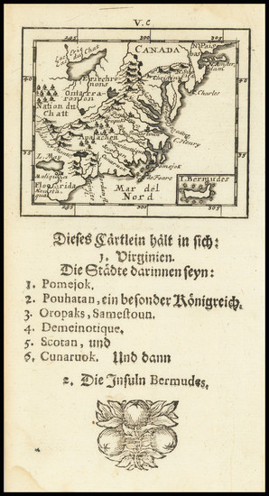
Place/Date:
Amsterdam / 1640
Size:
20 x 15 inches
Condition:
VG+
Stock#:
94131
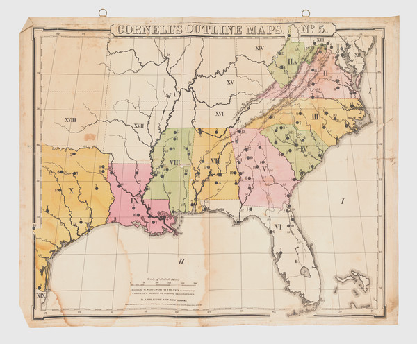
Place/Date:
New York / 1891 - 1895
Size:
27 x 16.25 inches
Condition:
VG
Stock#:
97072
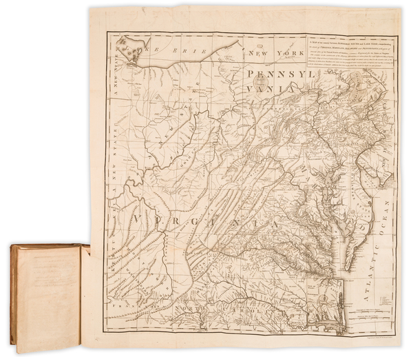
Place/Date:
New York / 1825 circa
Size:
86 x 29 inches
Condition:
VG
Stock#:
77294
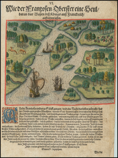
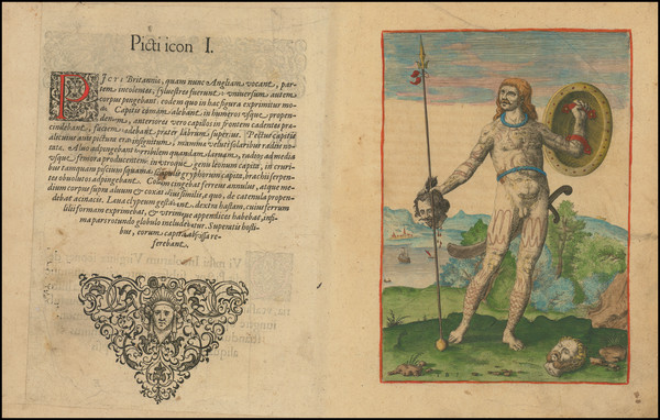
Place/Date:
Frankfurt / 1591
Size:
8.5 x 11 inches
Condition:
VG
Stock#:
95828
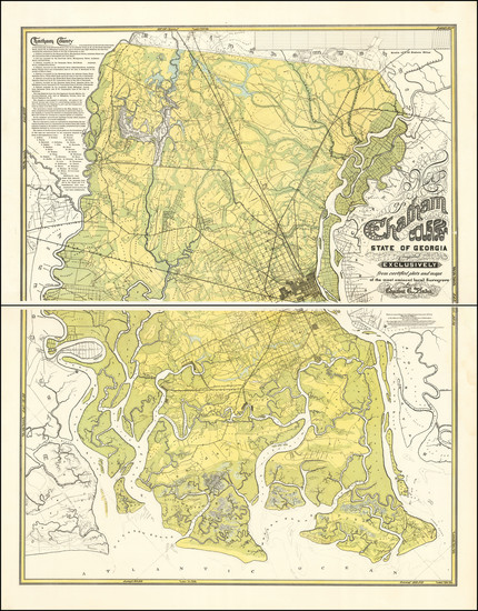
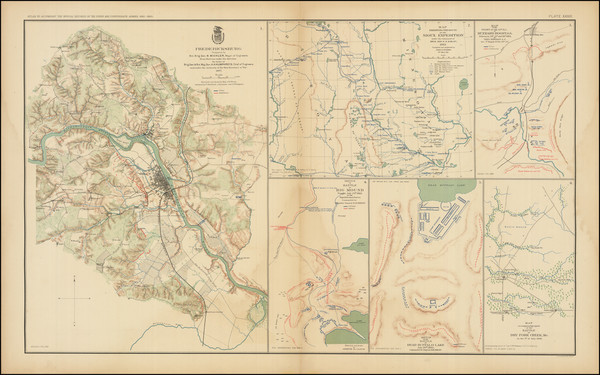
Place/Date:
Savannah / 1875
Size:
40 x 52 inches
Condition:
VG+
Stock#:
92011
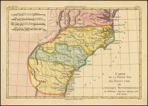
Place/Date:
Paris / 1787
Size:
12.5 x 8.5 inches
Condition:
VG
Stock#:
98738
Place/Date:
New York / 1859
Size:
30 x 20.5 inches
Condition:
Good
Stock#:
85965
Place/Date:
Amsterdam / 1630
Size:
10 x 7.5 inches
Condition:
VG+
Stock#:
95300
Place/Date:
Pensacola, Florida / 1763
Size:
9.25 x 15 inches
Condition:
VG
Stock#:
86620
Place/Date:
London / 1796
Size:
25 x 21 inches
Condition:
VG
Stock#:
102173
Place/Date:
New York / 1827 (1840)
Size:
37 x 26.5 inches
Condition:
VG+
Stock#:
84684
Place/Date:
Amsterdam / 1773
Size:
11 x 7.5 inches
Condition:
VG+
Stock#:
99744
Place/Date:
Amsterdam / 1640 circa
Size:
20 x 15 inches
Condition:
VG
Stock#:
81554
Place/Date:
Philadelphia / 1795
Size:
15 x 9 inches
Condition:
VG
Stock#:
100877
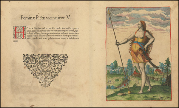
Place/Date:
Frankfurt / 1591
Size:
6.5 x 8.5 inches
Condition:
VG
Stock#:
97385
Place/Date:
Frankfurt / 1591
Size:
8.5 x 11.5 inches Including Text
Condition:
VG
Stock#:
97363
Place/Date:
London / 1758
Size:
3.75 x 2.5 inches
Condition:
VG+
Stock#:
98228
Place/Date:
Venice / 1561 (1574)
Size:
10 x 7.5 inches
Condition:
VG+
Stock#:
86737
Ruscelli's 1561 antique map showing the Southeast.
Place/Date:
Frankfurt / 1591
Size:
6.5 x 9 inches Image Only
Condition:
VG
Stock#:
99837
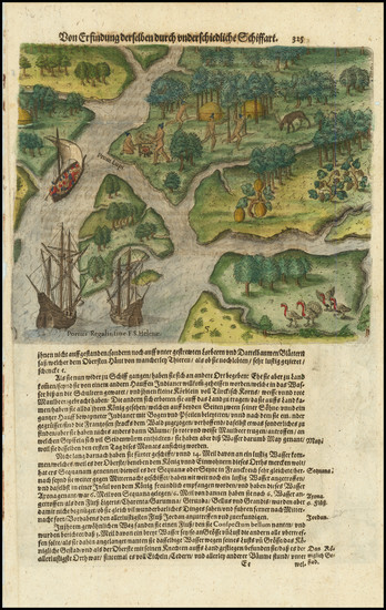
Place/Date:
Frankfurt / 1590
Size:
6.5 x 9 inches
Condition:
VG
Stock#:
99648
Place/Date:
Frankfurt / 1591
Size:
7.5 x 11 inches
Condition:
VG
Stock#:
81298
Place/Date:
Philadelphia / 1862
Size:
53 x 30.5 inches
Condition:
VG+
Stock#:
103211
Place/Date:
Frankfurt / 1590
Size:
9 x 11.5 inches
Condition:
VG
Stock#:
98859
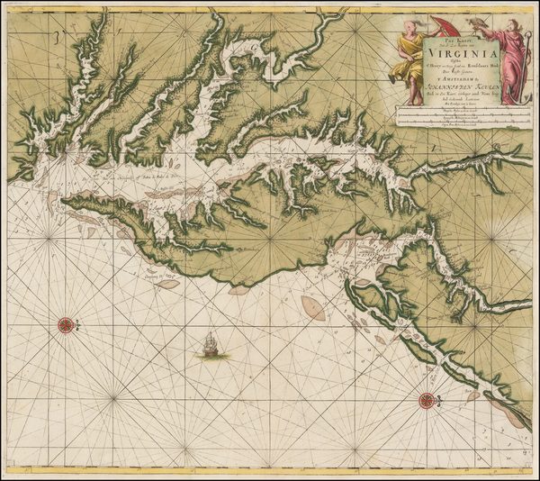
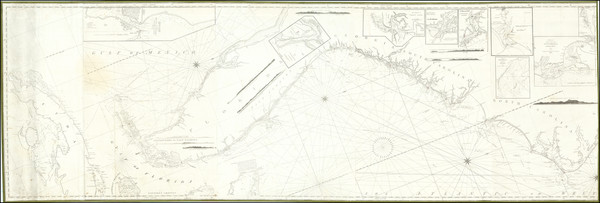
Place/Date:
Amsterdam / 1695 circa
Size:
23 x 20 inches
Condition:
VG
Stock#:
47255
1695 original Van Keulen map showing the Southeast.
Place/Date:
Amsterdam / 1719
Size:
22 x 18 inches
Condition:
VG
Stock#:
61480
Place/Date:
Frankfurt / 1692
Size:
3 x 2.5 inches
Condition:
VG
Stock#:
71479
Place/Date:
Paris / 1756
Size:
30 x 21.5 inches
Condition:
VG
Stock#:
94026

Place/Date:
Paris / 1665
Size:
9 x 6.5 inches
Condition:
VG+
Stock#:
91072
Place/Date:
n.p. / 1817
Size:
23.5 x 16 inches
Condition:
VG
Stock#:
91580
Place/Date:
Paris / 1786 [1787]
Size:
23 x 23 inches (map size)
Condition:
VG+
Stock#:
51828
Rare map showing the Southeast by Jefferson made in 1786.
Place/Date:
Paris / 1825
Size:
18 x 11 inches
Condition:
VG+
Stock#:
57603
Rare map showing the Southeast by Buchon made in 1825.
Place/Date:
Nuremberg / 1718
Size:
16.5 x 12.5 inches
Condition:
VG
Stock#:
72622
Place/Date:
London / 1779
Size:
8.5 x 12 inches
Condition:
VG
Stock#:
83450
Place/Date:
Frankfurt / 1591
Size:
8 x 6.5 inches
Condition:
VG
Stock#:
84381
Place/Date:
Paris / 1756
Size:
13.5 x 11 inches ( Whole Sheet)
Condition:
VG
Stock#:
52293op
Gautier d'Agoty's 1756 antique map showing the Southeast.
Place/Date:
London / 1745 circa
Size:
22.5 x 18 inches
Condition:
Good
Stock#:
92742

Place/Date:
London / 1767 circa
Size:
23 x 18 inches
Condition:
VG
Stock#:
55267
Antique map showing the Southeast by Grierson made in 1767.
Place/Date:
London / 1781
Size:
14.5 x 10 inches
Condition:
VG
Stock#:
96537
Place/Date:
London / 1708
Size:
10 x 7 inches
Condition:
VG+
Stock#:
101272
Place/Date:
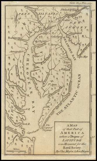
London / 1769
Size:
5 x 7 inches
Condition:
VG
Stock#:
102599
Place/Date:
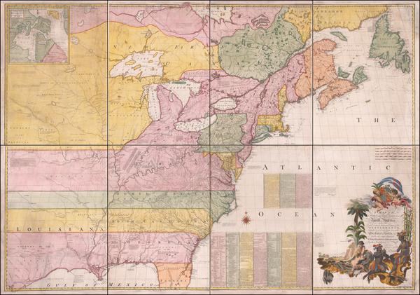
London / 1755 - 1757
Size:
76 x 53 inches If Joined
Condition:
Good
Stock#:
60574dg
Mitchell's 1755 antique map showing the Southeast.
Place/Date:
London / 1695
Size:
7.5 x 11 inches
Condition:
VG
Stock#:
98200
Place/Date:
London / 1781
Size:
13.5 x 11 inches
Condition:
Good
Stock#:
77438
Place/Date:
Philadelphia / 1813
Size:
21 x 16 inches
Condition:
Good
Stock#:
98240
Place/Date:
Paris / 1806
Size:
29 x 19 inches
Condition:
VG
Stock#:
68056
Place/Date:
London / 1729
Size:
10.5 x 8 inches
Condition:
VG
Stock#:
91687
Place/Date:
London / 1755
Size:
8 x 5.5 inches
Condition:
VG
Stock#:
81587