
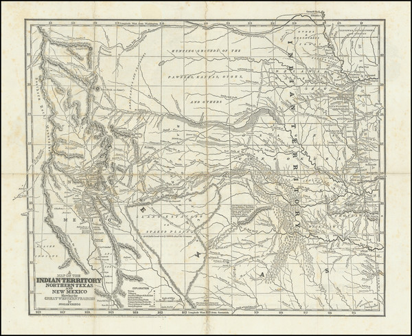
Search
Place/Date:
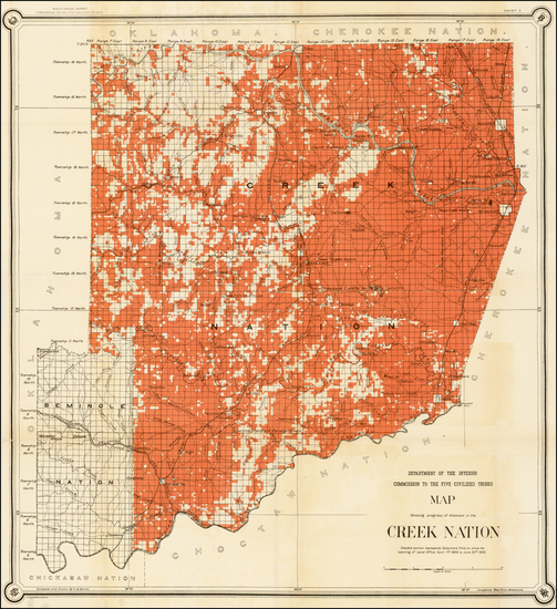
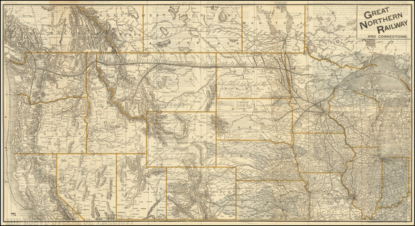
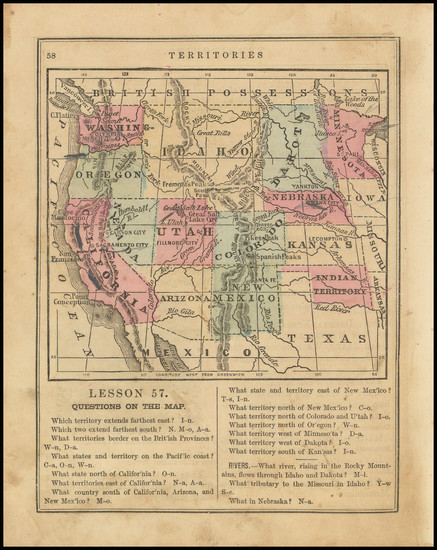
Washington / 1902
Size:
27 x 29.5 inches
Condition:
VG
Stock#:
35573
Antique map showing the Plains by United States GPO made in 1902.
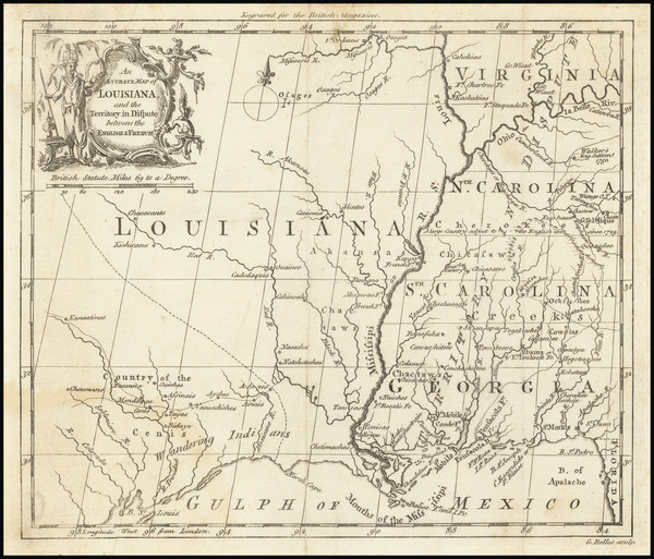
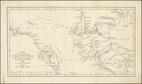
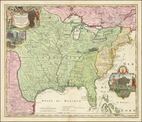
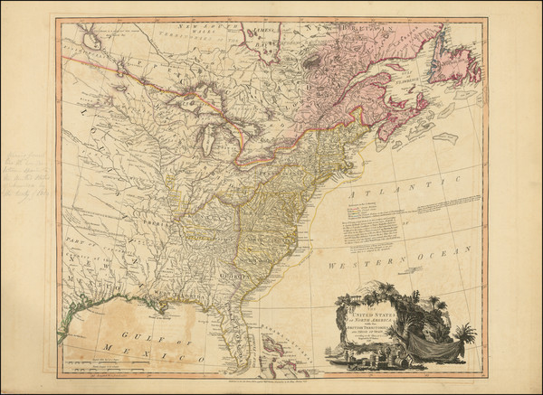
Place/Date:
London / 1760
Size:
8.5 x 7.5 inches
Condition:
VG
Stock#:
68964
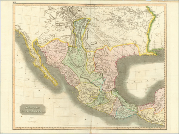
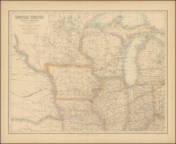
Place/Date:
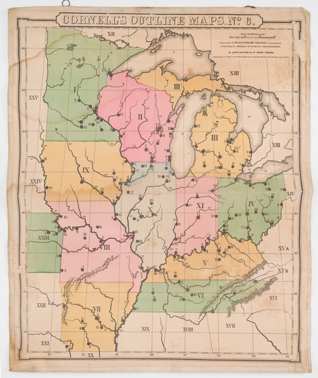
Edinburgh / 1814
Size:
24.5 x 20 inches
Condition:
VG
Stock#:
97772
Place/Date:
New York / 1891 - 1895
Size:
27 x 16.25 inches
Condition:
VG
Stock#:
97072
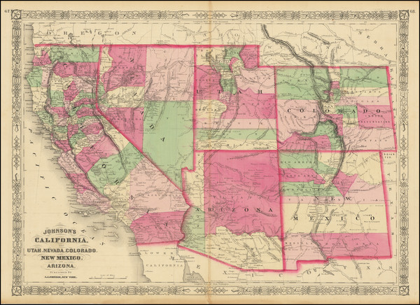
Place/Date:
New York / 1868
Size:
24 x 17 inches
Condition:
VG
Stock#:
83211
Place/Date:
London / 1844
Size:
17.5 x 12.75 inches
Condition:
VG+
Stock#:
94287
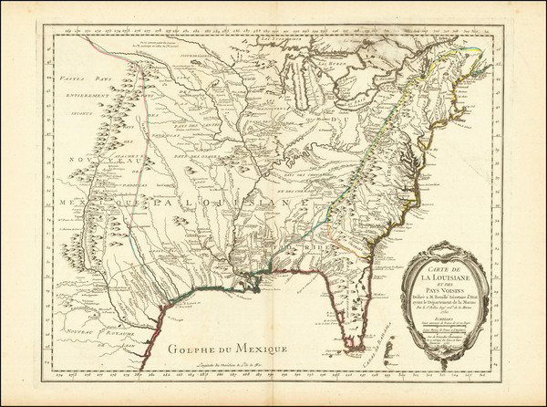
Place/Date:
Paris / 1794
Size:
18.5 x 10 inches
Condition:
VG
Stock#:
98406
Place/Date:
Baltimore and Washington, D.C. / 1845
Size:
50 x 30.5 inches (large map size)
Condition:
VG
Stock#:
88488
Place/Date:
Washington / 1858
Size:
23 x 20 inches
Condition:
VG
Stock#:
81862

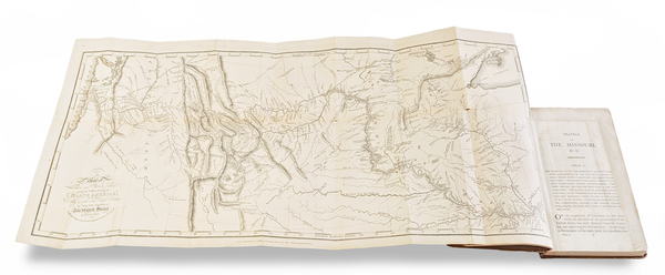
Place/Date:
Philadelphia / 1822
Size:
20.5 x 16.5 inches
Condition:
VG
Stock#:
72692
Place/Date:
Philadelphia / 1851
Size:
16 x 13 inches
Condition:
Good
Stock#:
95431
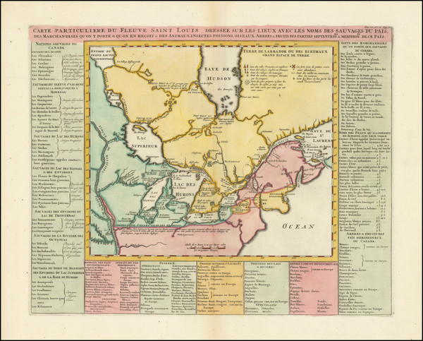
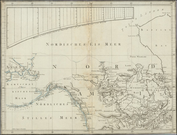
Place/Date:
Amsterdam / 1720
Size:
6 x 7.25 inches
Condition:
VG+
Stock#:
95924
Law's 1720 antique map showing the Plains.
Place/Date:
Paris / 1815 (1819)
Size:
48 x 42 inches (if joined)
Condition:
VG+
Stock#:
69077
Place/Date:
Nuremberg / 1720
Size:
22.5 x 19 inches
Condition:
VG+
Stock#:
73950
Place/Date:
Paris / 1755
Size:
24 x 18.5 inches
Condition:
VG+
Stock#:
84872
Place/Date:
London / 1815
Size:
27 x 12 inches (map)
Condition:
VG
Stock#:
81775
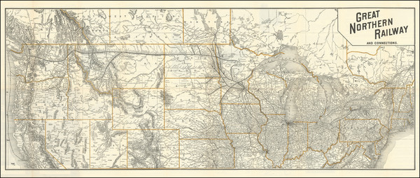
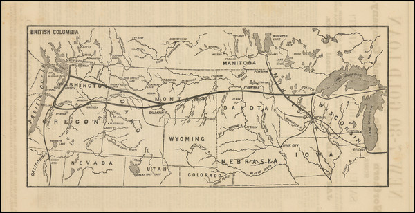
Place/Date:
Chicago / 1892 circa
Size:
36.5 x 14.6 inches
Condition:
VG+
Stock#:
99409
Place/Date:
Chicago / 1892 circa
Size:
27.5 x 14.5 inches
Condition:
VG
Stock#:
65671
Place/Date:
New York / 1859
Size:
30 x 20.5 inches
Condition:
Good
Stock#:
85964
Place/Date:
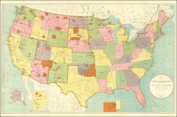
Washington D.C. / 1904
Size:
33 x 21 inches
Condition:
VG+
Stock#:
99622
Place/Date:
Paris / 1744
Size:
22 x 15.5 inches
Condition:
VG+
Stock#:
84933
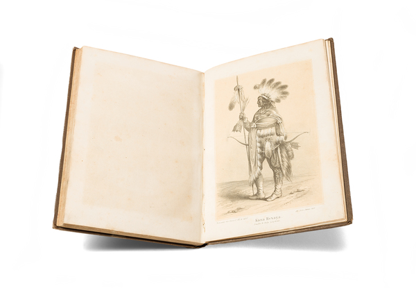
Place/Date:
Budapest / 1858
Size:
5.5 x 8.1 inches (binding)
Condition:
VG
Stock#:
98502
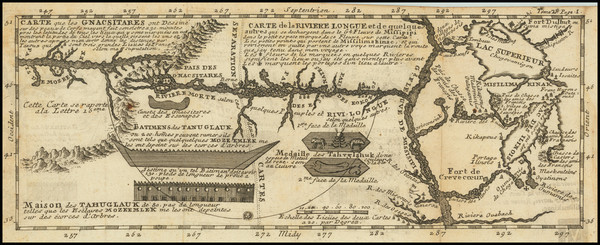
Place/Date:
Paris / 1741
Size:
11.5 x 4.5 inches
Condition:
VG
Stock#:
84108
Lahontan's 1741 antique map showing the Plains.
Place/Date:
Paris / 1749
Size:
6.5 x 8.5 inches
Condition:
VG+
Stock#:
73364
Place/Date:
Paris / 1703
Size:
26.5 x 11 inches
Condition:
VG+
Stock#:
99919
Place/Date:
n.p. / 1864 circa
Size:
5.5 x 7.3 inches
Condition:
VG
Stock#:
99057
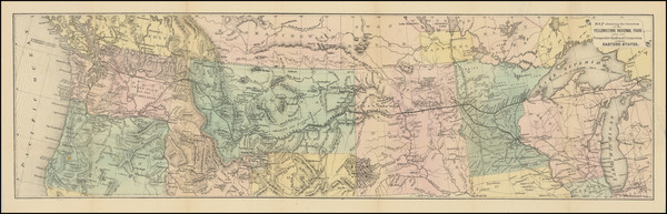
Place/Date:
Chicago / 1912
Size:
43.5 x 18.3 inches
Condition:
Good
Stock#:
90410
Place/Date:
London / 1837
Size:
11.5 x 9.5 inches
Condition:
VG
Stock#:
32666
Antique map showing the Plains by Bodmer, 1837.
Place/Date:
Philadelphia / 1805
Size:
6 x 7.5 inches
Condition:
VG+
Stock#:
83278
Place/Date:
Hildburghausen / 1863 circa
Size:
16.75 x 13.25 inches
Condition:
VG+
Stock#:
99297
Place/Date:
Baltimore / 1853
Size:
59 x 56 inches
Condition:
VG
Stock#:
89814
Place/Date:
Paris / 1835
Size:
5.5 x 6.5 inches
Condition:
VG+
Stock#:
86050
Place/Date:
Philadephia / 1811
Size:
27.75 x 20 inches
Condition:
VG
Stock#:
100623
Place/Date:
Paris / 1783
Size:
25.5 x 20 inches
Condition:
VG
Stock#:
88103
Place/Date:
Philadelphia / 1876
Size:
14.5 x 19.5 inches
Condition:
VG+
Stock#:
72282
Place/Date:
Paris / 1718
Size:
25.5 x 19 inches
Condition:
VG+
Stock#:
59797
1718 rare De L'Isle map showing the Plains.
Place/Date:
Liverpool / 1851
Size:
24.5 x 21 inches
Condition:
VG+
Stock#:
69374
Place/Date:
Paris / 1811
Size:
28.5 x 17 inches
Condition:
VG
Stock#:
100976
Place/Date:
Washington, DC / 1874
Size:
24 x 38 inches
Condition:
VG
Stock#:
82585
Place/Date:
Washington, D.C. / 1879
Size:
32 x 44 inches
Condition:
VG+
Stock#:
86913
Place/Date:
Paris / 1703
Size:
25.5 x 19 inches
Condition:
VG+
Stock#:
47103
De L'Isle's 1703 antique map showing the Plains.
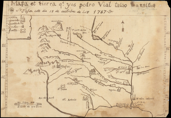
Place/Date:
n.p. / 1787 (but likely 20th Century)
Size:
11.5 x 8 inches
Condition:
Good
Stock#:
3645
Original map showing the Plains by Vial, 1787.
Place/Date:
Amsterdam / 1719
Size:
18 x 14 inches
Condition:
VG
Stock#:
100582
Place/Date:
New York / 1844
Size:
15.5 x 13 inches
Condition:
Good
Stock#:
98558
Place/Date:
New York / 1861
Size:
16 x 13 inches
Condition:
VG+
Stock#:
79135
Place/Date:
London / 1796
Size:
25 x 21 inches
Condition:
VG
Stock#:
102173
Place/Date:
Berlin / 1791
Size:
25 x 19 inches
Condition:
VG
Stock#:
41816dm
Forster's 1791 antique map showing the Plains.
Place/Date:
n.p. / 1870
Size:
13.5 x 6 inches ( Image)
Condition:
VG+
Stock#:
101828
Place/Date:
Philadelphia / 1874
Size:
27.25 x 7.75 inches
Condition:
VG
Stock#:
100916
Place/Date:
Edinburgh / 1855
Size:
21 x 17 inches
Condition:
VG+
Stock#:
102821