
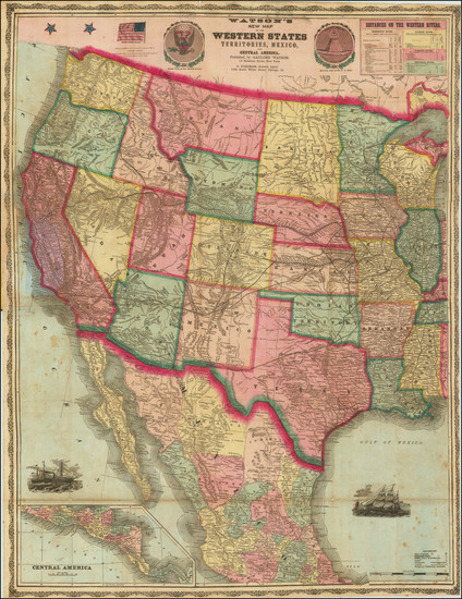
Search
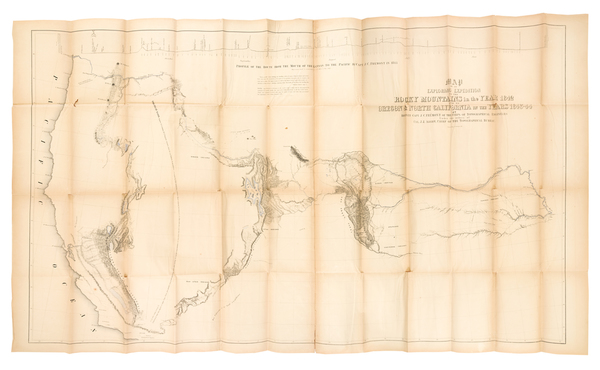
Place/Date:
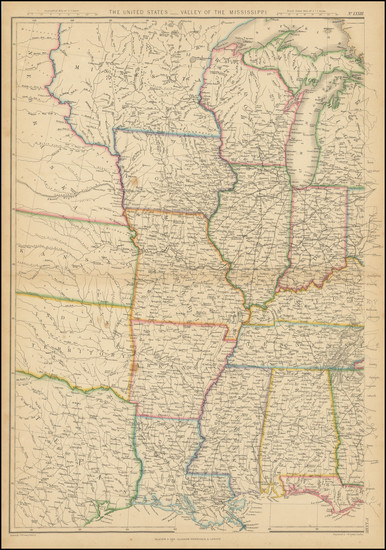
Baltimore and Washington, D.C. / 1845
Size:
50 x 30.5 inches (large map size)
Condition:
VG
Stock#:
88488
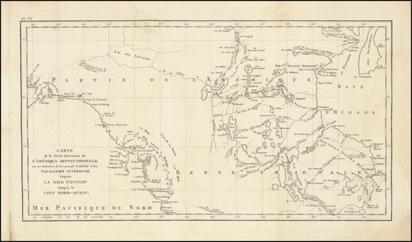
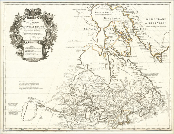
Place/Date:
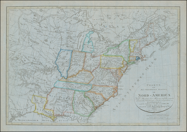
Paris / 1794
Size:
18.5 x 10 inches
Condition:
VG
Stock#:
98406
Place/Date:
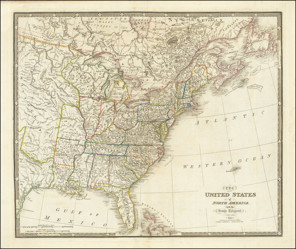
London / 1844
Size:
17.5 x 12.75 inches
Condition:
VG+
Stock#:
94287
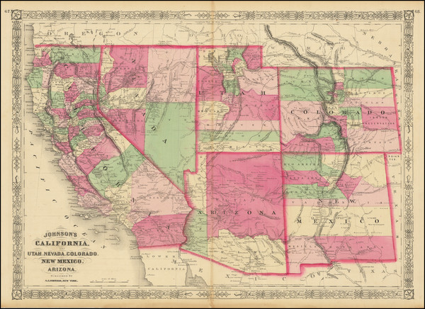
Place/Date:
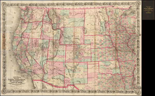
New York / 1868
Size:
24 x 17 inches
Condition:
VG
Stock#:
83211
Place/Date:
New York / 1891 - 1895
Size:
27 x 16.25 inches
Condition:
VG
Stock#:
97072
Place/Date:
Edinburgh / 1814
Size:
24.5 x 20 inches
Condition:
VG
Stock#:
97772
Place/Date:
London / 1760
Size:
8.5 x 7.5 inches
Condition:
VG
Stock#:
68964
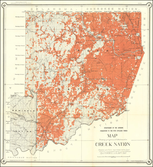
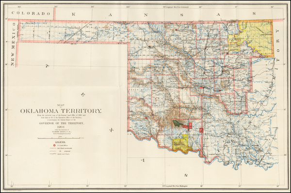
Place/Date:
Washington / 1902
Size:
27 x 29.5 inches
Condition:
VG
Stock#:
35573
Antique map showing the Plains by United States GPO made in 1902.
Place/Date:
Washington / 1901
Size:
27 x 29.5 inches
Condition:
VG+
Stock#:
97537
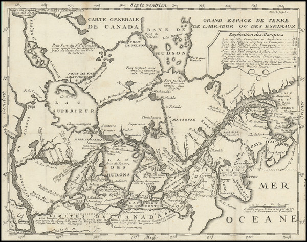
Place/Date:
Paris / 1703
Size:
12 x 9 inches
Condition:
VG
Stock#:
95884
Place/Date:
Chicago / 1878
Size:
30 x 20 inches
Condition:
VG+
Stock#:
82723
Place/Date:
London / 1804
Size:
16 x 10 inches
Condition:
VG
Stock#:
95544
Place/Date:
New York / 1869
Size:
29 x 38 inches
Condition:
VG
Stock#:
96515
Place/Date:
London / 1755 - 1757
Size:
76 x 53 inches If Joined
Condition:
Good
Stock#:
60574dg
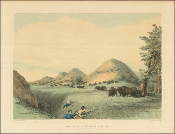
Mitchell's 1755 antique map showing the Plains.
Place/Date:
Philadelphia / 1810
Size:
15 x 17.5 inches
Condition:
VG
Stock#:
73229
Place/Date:
Washington, DC / 1874
Size:
17.5 x 25.5 inches
Condition:
VG
Stock#:
77274
Place/Date:
Washington, D.C. / 1901
Size:
22.5 x 13 inches
Condition:
VG+
Stock#:
49257
U.S. General Land Office's 1901 original map showing the Plains.
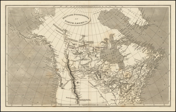
Place/Date:
London / 1810
Size:
31.5 x 25.5 inches per sheet (four sheets total)
Condition:
VG+
Stock#:
95013
Place/Date:
Amsterdam / 1730 circa
Size:
22 x 19 inches
Condition:
VG+
Stock#:
94450

Place/Date:
Nottingham / 1875
Size:
35 x 25 inches
Condition:
VG
Stock#:
63292
Place/Date:
Paris ? / 1682 (1900 circa?)
Size:
15.5 x 6.5 inches
Condition:
VG
Stock#:
93571
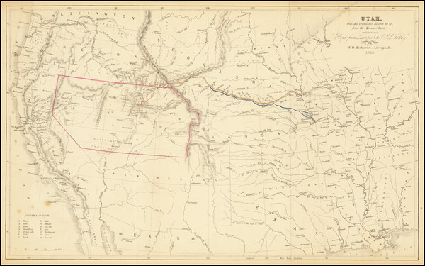
Place/Date:
Liverpool, England / 1855
Size:
19 x 11.7 inches
Condition:
VG
Stock#:
66366
Place/Date:
Paris / 1703 (1708)
Size:
25.5 x 20 inches
Condition:
Good
Stock#:
92808
1703 antique De L'Isle map showing the Plains.
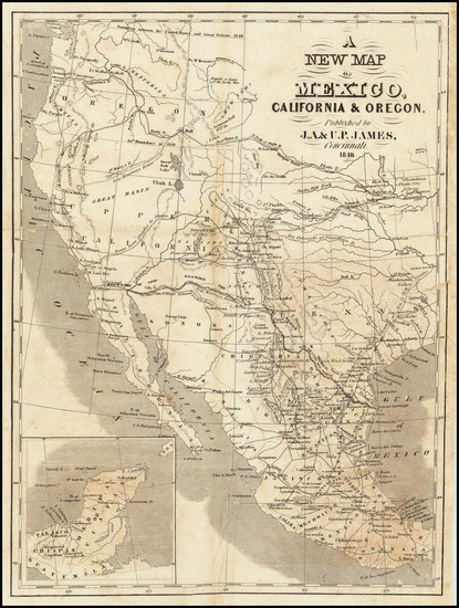
Place/Date:
Cincinnati / 1849
Size:
9.5 x 12.5 inches
Condition:
Good
Stock#:
65560
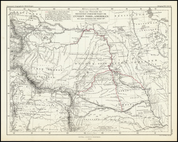
Place/Date:
Gotha / 1858
Size:
9.5 x 7.5 inches
Condition:
VG+
Stock#:
92131
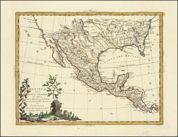
Messico ouvero Nuova Spagna che contiene Il Nuovo Messico La California Con Parte De'Paesi Adjacenti
Place/Date:
Venice / 1785
Size:
16 x 12 inches
Condition:
VG
Stock#:
91383
Place/Date:
Washington / 1804 (1904)
Size:
37 x 8 inches
Condition:
VG+
Stock#:
89337
Place/Date:
New York / 1861
Size:
16 x 13 inches
Condition:
VG+
Stock#:
82434
Place/Date:
Philadelphia / 1877
Size:
15 x 20 inches
Condition:
VG+
Stock#:
89047
Place/Date:
Edinburgh / 1875 circa
Size:
14 x 20 inches
Condition:
VG+
Stock#:
78671
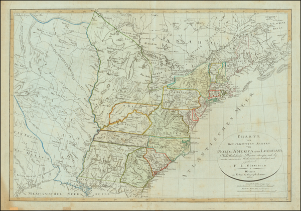
Place/Date:
Weimar / 1817
Size:
27 x 19 inches
Condition:
VG+
Stock#:
59153
Rare map showing the Plains by Gussefeld made in 1817.
Place/Date:
London / 1843
Size:
25 x 21 inches
Condition:
VG+
Stock#:
87488
Place/Date:
New York / 1873
Size:
44 x 28 inches
Condition:
VG
Stock#:
51085
Rare map showing the Plains by Colton, 1873.

Place/Date:
London / 1817
Size:
10 x 8 inches
Condition:
VG+
Stock#:
84835
Place/Date:
Philadelphia / 1810
Size:
29.25 x 9 inches
Condition:
VG+
Stock#:
81745
Place/Date:
London (Leipzig?) / 1839 circa [but circa 1922]
Size:
12 x 9 inches
Condition:
VG
Stock#:
77702
Place/Date:
London (Leipzig?) / 1844 circa [but printed circa 1922?]
Size:
12 x 9 inches
Condition:
VG+
Stock#:
77701
Place/Date:
Philadelphia / 1855
Size:
60.5 x 36 inches
Condition:
Good
Stock#:
82655
Place/Date:
n.p. / 1890 circa
Size:
7 x 5.25 inches
Condition:
VG
Stock#:
78744
Place/Date:
Paris / 1950
Size:
11 x 9 inches
Condition:
VG+
Stock#:
78138
Rare map showing the Plains by Pinchon made in 1950.
Place/Date:
Paris, Coblenz and London / 1844 (1900 ca)
Size:
12.5 x 9 inches
Condition:
VG+
Stock#:
77699
Place/Date:
Amsterdam / 1720
Size:
16 x 14 inches
Condition:
VG
Stock#:
79683
Place/Date:
Washington / 1867
Size:
31 x 43 inches
Condition:
VG
Stock#:
80402

Place/Date:
Paris / 1869
Size:
17.25 x 11 inches
Condition:
VG+
Stock#:
71446
Place/Date:
Washington / 1856
Size:
6 x 9 inches
Condition:
Stock#:
76162
Place/Date:
Weimar / 1856
Size:
25 x 21.5 inches
Condition:
VG+
Stock#:
73690
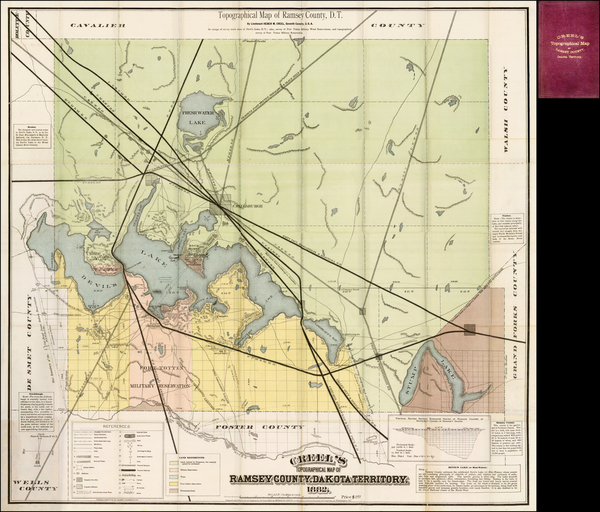
Place/Date:
Cincinnati / 1882
Size:
33 x 33 inches
Condition:
VG+
Stock#:
37529hf
Original Antique map of Ramsey County, Dakota Territory
Place/Date:
Weimar / 1805
Size:
27 x 19 inches
Condition:
VG
Stock#:
63496
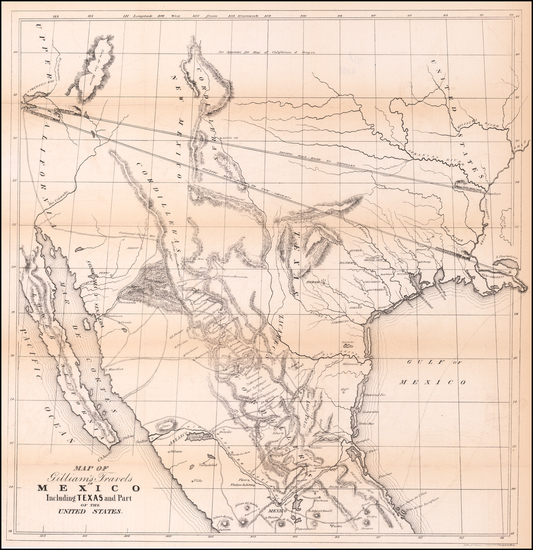
Place/Date:
Philadelpia / 1846
Size:
19 x 19 inches
Condition:
VG
Stock#:
58648
Rare map showing the Plains by Gilliam made in 1846.
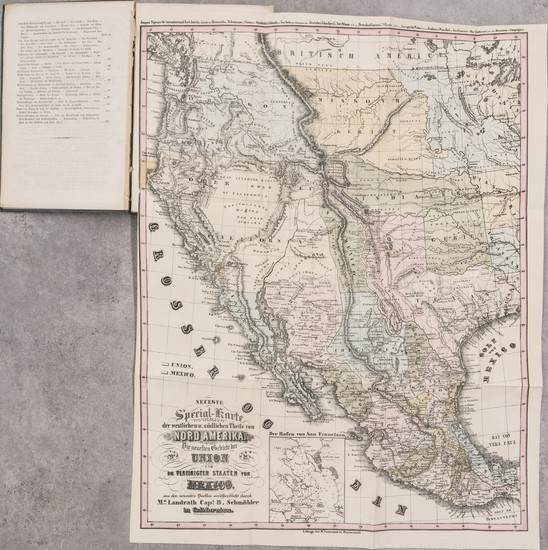
Place/Date:
Mainz / Frankfurt / 1849 (1851)
Size:
17 x 22 inches (map)
Condition:
VG
Stock#:
63002