
Search
Place/Date:
Paris / 1764 circa
Size:
19 x 26 inches
Condition:
VG-
Stock#:
53336jc
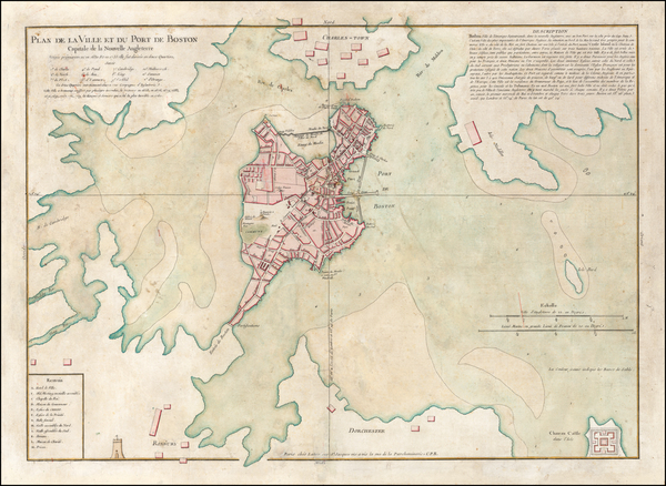
Antique map showing Massachusetts by Bellin & Lattré made in 1764.
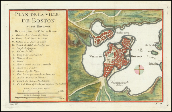
Place/Date:
Paris / 1764
Size:
10.5 x 7 inches
Condition:
VG+
Stock#:
78853
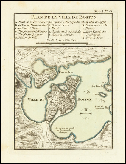
Place/Date:
Paris / 1764
Size:
6 x 8.5 inches
Condition:
VG+
Stock#:
80660
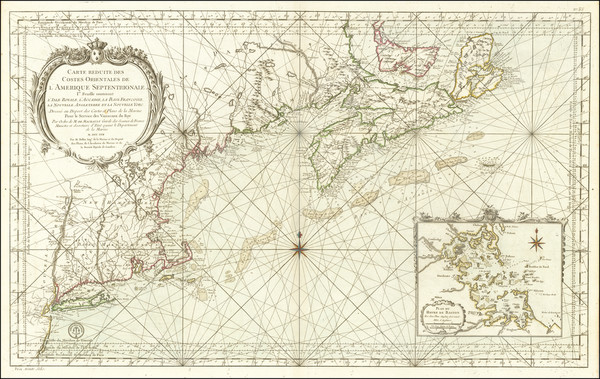
Place/Date:
Paris / 1757
Size:
35 x 21.5 inches
Condition:
VG+
Stock#:
80006

Place/Date:
Amsterdam / 1702
Size:
23 x 20.5 inches
Condition:
VG
Stock#:
33948mb
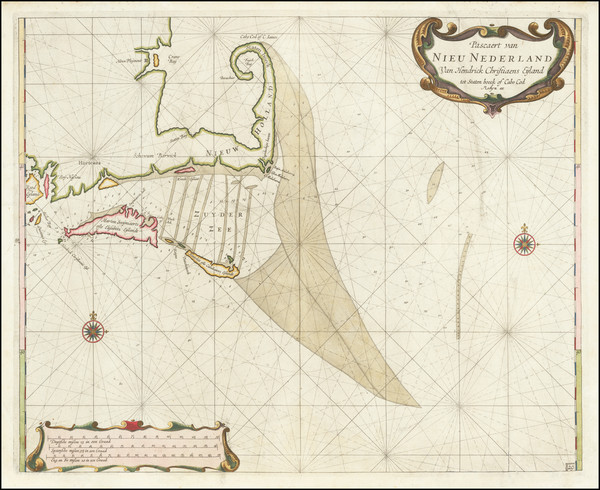
Early Sea Chart of Manhattan, Long Island, Nantucket, Martha's Vineyard, Block Island, Hudson River, New England
Place/Date:
Amsterdam / 1695 circa
Size:
23 x 20 inches
Condition:
VG+
Stock#:
94453
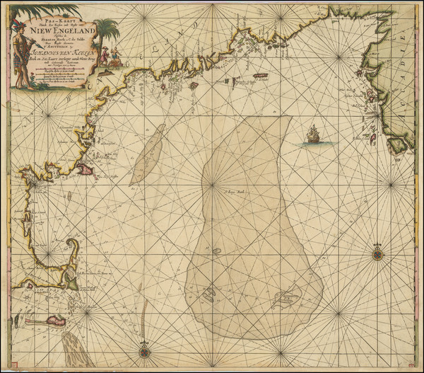
Van Keulen's 1695 antique map showing Massachusetts.
Place/Date:
Amsterdam / 1675 (1680)
Size:
20 x 16.5 inches
Condition:
VG
Stock#:
67241
Place/Date:
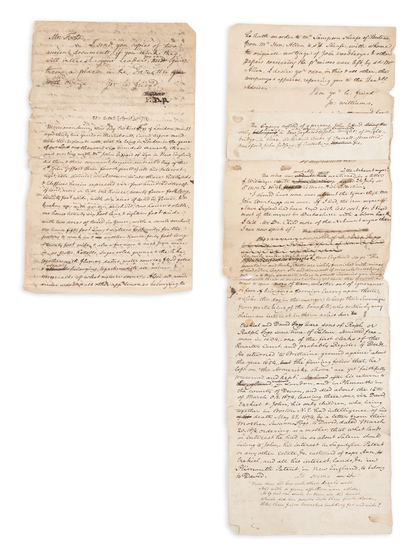
n.p. (Salem, Massachusetts?) / 1674 [but written ca. 1830]
Size:
8 x 12 inches
Condition:
Good
Stock#:
93113
Place/Date:
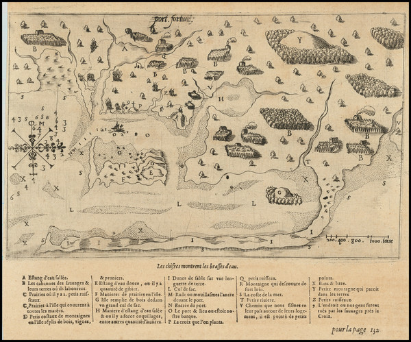
Paris / 1613
Size:
9.5 x 7.5 inches (including text)
Condition:
VG+
Stock#:
78785