
Search
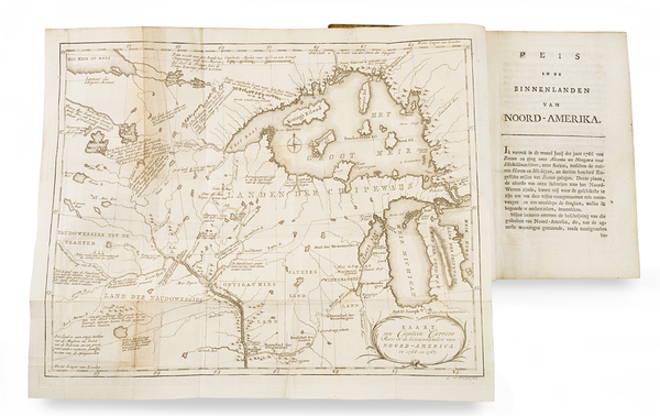
Place/Date:
Leiden / 1796
Size:
5.25 x 8 inches
Condition:
VG
Stock#:
86685
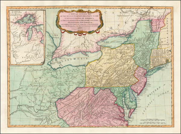
Place/Date:
London / 1794
Size:
26 x 19.5 inches
Condition:
VG
Stock#:
49212
Laurie & Whittle's 1794 original map showing the Midwest.
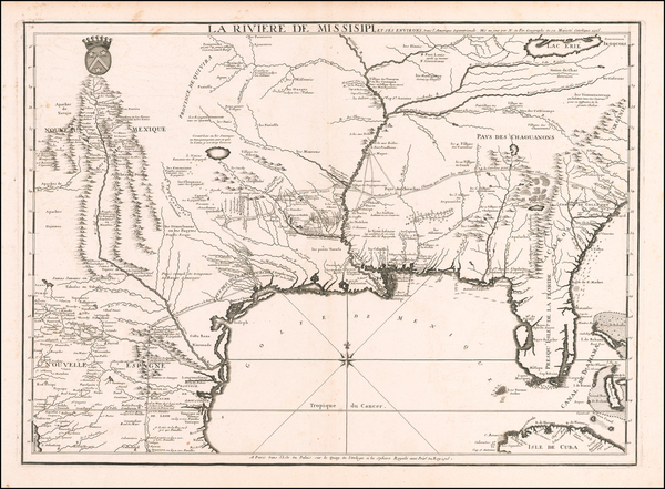
Place/Date:
Paris / 1715
Size:
25 x 18 inches
Condition:
VG
Stock#:
59953
Antique map showing the Midwest by de Fer, 1715.
Place/Date:
Venice / 1691
Size:
17 x 10 inches
Condition:
VG+
Stock#:
98656
Place/Date:
Paris / 1703
Size:
25.5 x 19 inches
Condition:
VG+
Stock#:
47103
De L'Isle's 1703 antique map showing the Midwest.
Place/Date:
Amsterdam / 1719
Size:
18 x 14 inches
Condition:
VG
Stock#:
100582
Place/Date:
Munich / 1867
Size:
10 x 15 inches (binding)
Condition:
VG
Stock#:
101700
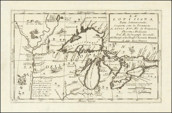
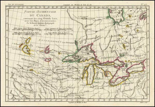
Place/Date:
Paris / 1718
Size:
25 x 18.5 inches
Condition:
VG+
Stock#:
61193
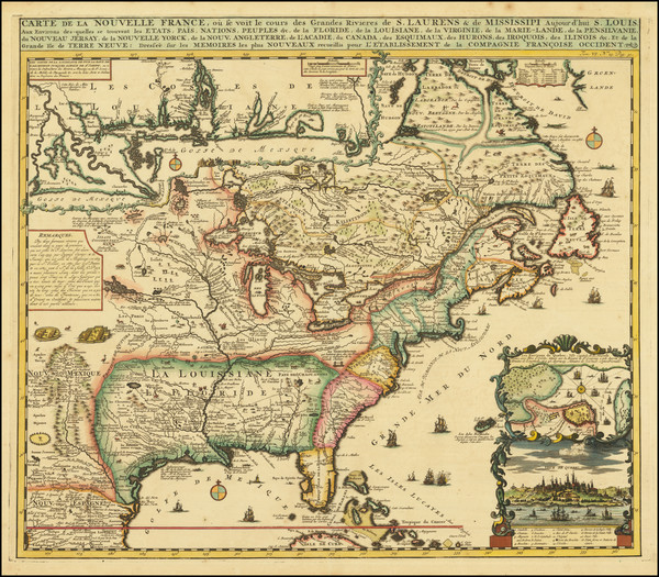
1718 Antique Map of the Mississippi River Valley During French Colonial Era
Place/Date:
London / 1796
Size:
25 x 21 inches
Condition:
VG
Stock#:
102173
Place/Date:
Berlin / 1791
Size:
25 x 19 inches
Condition:
VG
Stock#:
41816dm
Forster's 1791 antique map showing the Midwest.
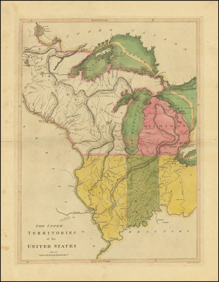
Place/Date:
Philadelphia / 1812
Size:
28 x 20 inches
Condition:
VG
Stock#:
45659
Antique map showing the Midwest by Pinkerton made in 1812.
Place/Date:
Paris / 1650
Size:
21.5 x 15.5 inches
Condition:
VG+
Stock#:
102559
Place/Date:
n.p. / 1870
Size:
13.5 x 6 inches ( Image)
Condition:
VG+
Stock#:
101828
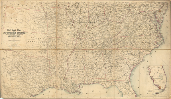
Place/Date:
Philadelphia / 1874
Size:
27.25 x 7.75 inches
Condition:
VG
Stock#:
100916

Place/Date:
Amsterdam / 1719
Size:
20 x 16 inches
Condition:
VG+
Stock#:
86363
Place/Date:
Venice / 1778
Size:
16.5 x 13 inches
Condition:
VG
Stock#:
75927
Place/Date:
Edinburgh / 1855
Size:
21 x 17 inches
Condition:
VG+
Stock#:
102821
Place/Date:
Edinburgh / 1857
Size:
16 x 13 inches
Condition:
Stock#:
102830
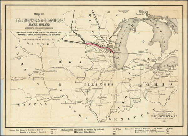
Place/Date:
Milwaukee / 1856
Size:
19.5 x 13.5 inches (map)
Condition:
VG
Stock#:
101516
Place/Date:
Edinburgh / 1857
Size:
16 x 13 inches
Condition:
VG+
Stock#:
102854
Place/Date:
New York / 1841
Size:
15.5 x 19.5 inches Map
Condition:
Good
Stock#:
101836
Place/Date:
Paris / 1757
Size:
12 x 8.5 inches
Condition:
VG+
Stock#:
85928
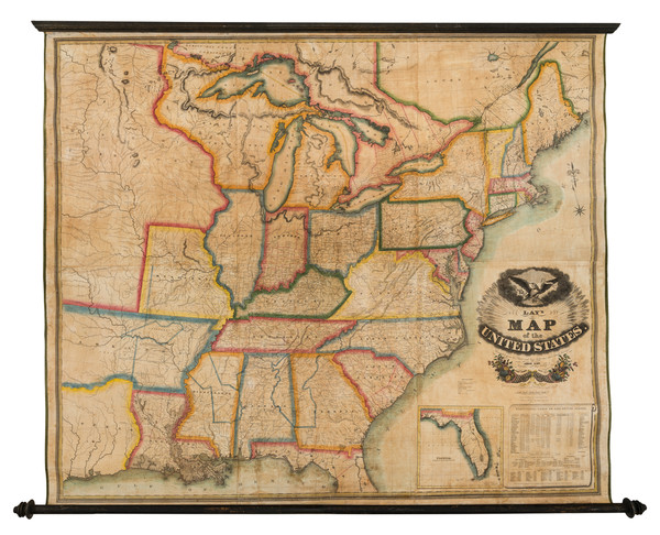
Place/Date:
New York / 1827
Size:
60 x 51 inches
Condition:
VG
Stock#:
82891

Place/Date:
New York / 1875
Size:
39 x 24 inches
Condition:
Good
Stock#:
80633
Place/Date:
Venice / 1776
Size:
22 x 18 inches
Condition:
VG+
Stock#:
103018
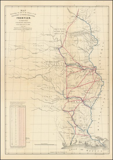
Place/Date:
Washington / 1837
Size:
15 x 21.5 inches
Condition:
VG
Stock#:
102750
Place/Date:
Amsterdam / 1719
Size:
19 x 16.5 inches
Condition:
VG+
Stock#:
81980
Antique map showing the Midwest by Chatelain, 1719.
Place/Date:
Philadelphia / 1862
Size:
53 x 30.5 inches
Condition:
VG+
Stock#:
103211
Place/Date:
Paris / 1643
Size:
21.5 x 17.5 inches
Condition:
VG
Stock#:
101282
Place/Date:
London / 1759
Size:
11.5 x 8.5 inches
Condition:
VG
Stock#:
62280
Place/Date:
Philadelphia / 1814
Size:
12.5 x 17 inches
Condition:
VG+
Stock#:
103601
Place/Date:
Paris / 1787
Size:
12.5 x 8.5 inches
Condition:
VG
Stock#:
98377