
Search
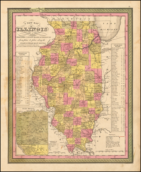
Place/Date:
Philadelphia / 1846
Size:
11.5 x 14 inches
Condition:
VG
Stock#:
51415
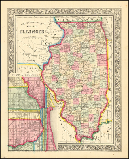
Antique map showing Illinois by Mitchell made in 1846.
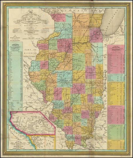
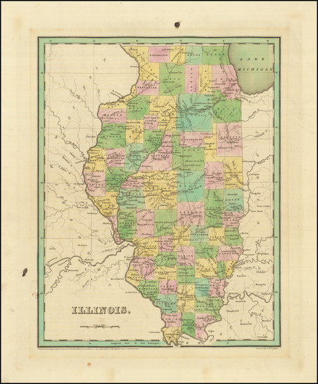
Place/Date:
Philadelphia / 1835
Size:
13 x 15.5 inches
Condition:
VG
Stock#:
87173
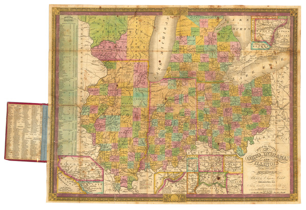
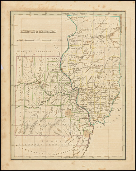
Place/Date:
Philadelphia / 1834
Size:
21.8 x 17.5 inches
Condition:
VG
Stock#:
89955
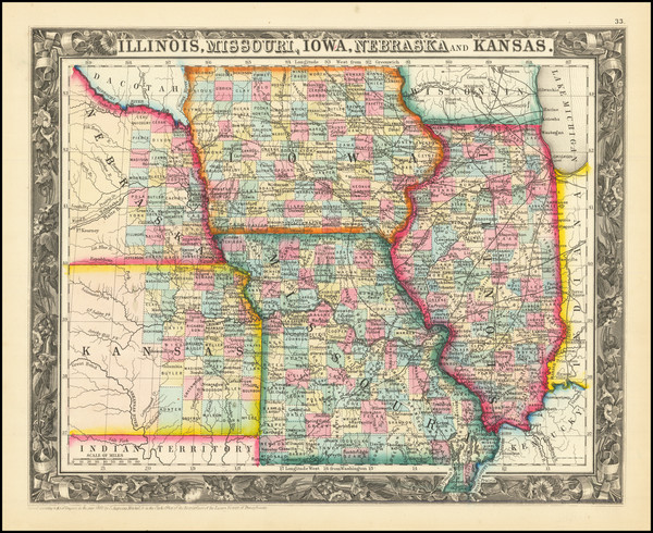
Place/Date:
Philadelphia / 1860
Size:
13.5 x 10.5 inches
Condition:
VG+
Stock#:
86645
Place/Date:
Philadelphia / 1862
Size:
11 x 13.5 inches
Condition:
VG+
Stock#:
89070
Place/Date:
Philadelphia / 1882
Size:
14.5 x 22.5 inches
Condition:
VG
Stock#:
98356
Place/Date:
Philadelphia / 1882
Size:
14 x 21 inches
Condition:
VG+
Stock#:
100305
Place/Date:
London / 1833
Size:
14.5 x 13 inches
Condition:
VG
Stock#:
84193
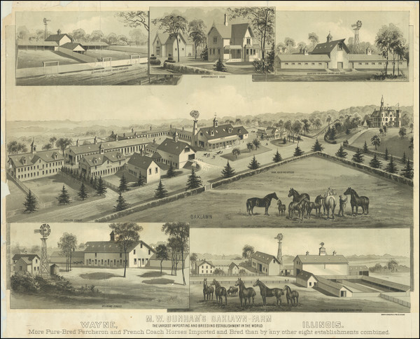
Place/Date:
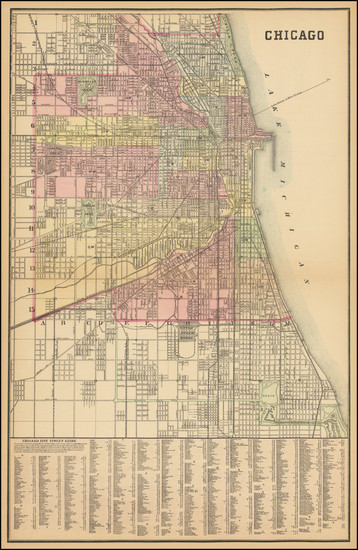
Chicago / 1883 circa
Size:
26 x 21 inches
Condition:
Good
Stock#:
87030
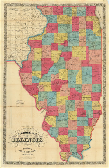
Place/Date:
Milwaukee, Wisconsin / 1856
Size:
24.5 x 39 inches
Condition:
Good
Stock#:
78531
Place/Date:
Boston / 1835
Size:
8 x 10 inches
Condition:
VG
Stock#:
90672
Place/Date:
Boston / 1838
Size:
11.5 x 14 inches
Condition:
VG
Stock#:
95723
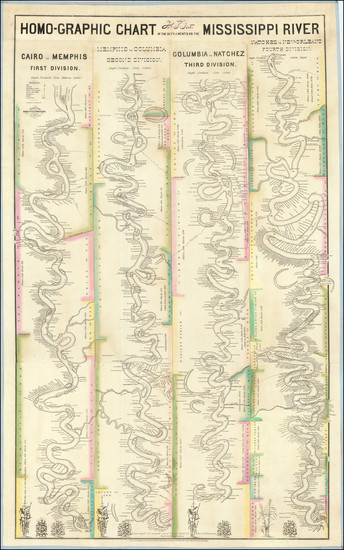
Place/Date:
Northern District of Mississippi / 1842
Size:
25.5 x 40.5 inches
Condition:
See Description
Stock#:
95178
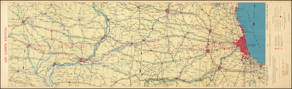
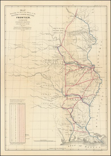
Place/Date:
Washington, D.C. / 1924
Size:
30.4 x 10 inches
Condition:
VG+
Stock#:
100386
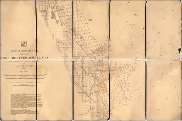
Place/Date:
Washington, D.C. / 1892 circa
Size:
25.5 x 17 inches
Condition:
Good
Stock#:
57376
1892 rare U.S. Army Corps of Topographical Engineer map showing Illinois.
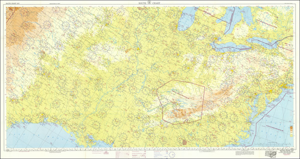
Place/Date:
Washington D.C. / 1951
Size:
27 x 54 inches
Condition:
VG+
Stock#:
87123
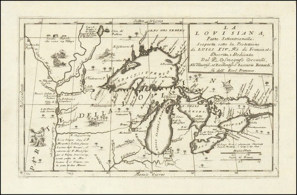
Place/Date:
Venice / 1691
Size:
17 x 10 inches
Condition:
VG+
Stock#:
98656
Place/Date:
Washington / 1837
Size:
15 x 21.5 inches
Condition:
VG
Stock#:
102750
Place/Date:
Boston / 1866
Size:
16 x 21 inches
Condition:
VG
Stock#:
85990