
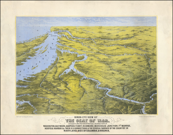
Search
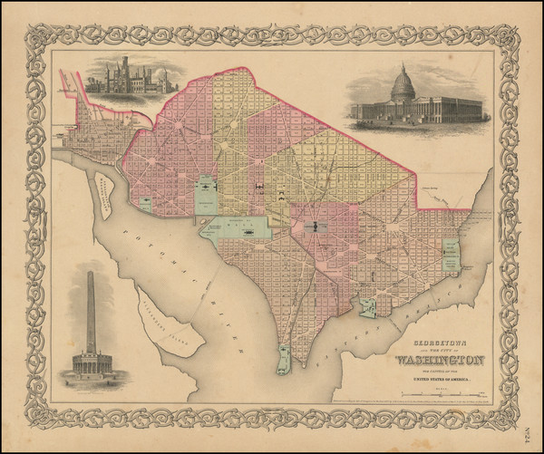
Place/Date:
New York / 1856
Size:
16 x 13 inches
Condition:
VG
Stock#:
96145
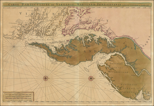
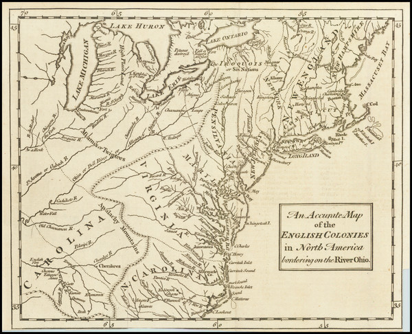
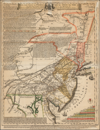
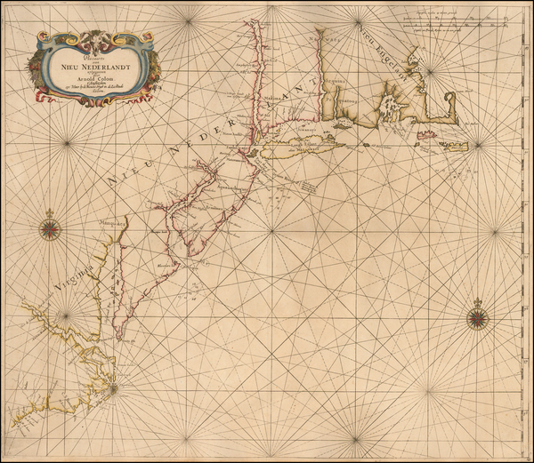
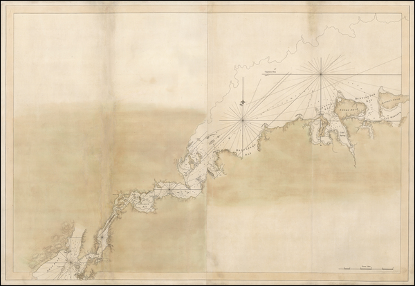
Place/Date:
Amsterdam / 1692
Size:
31.5 x 21.5 inches
Condition:
VG
Stock#:
61392mp2
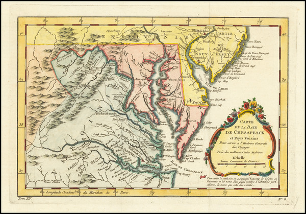
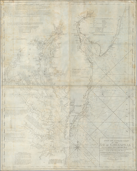
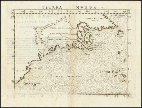
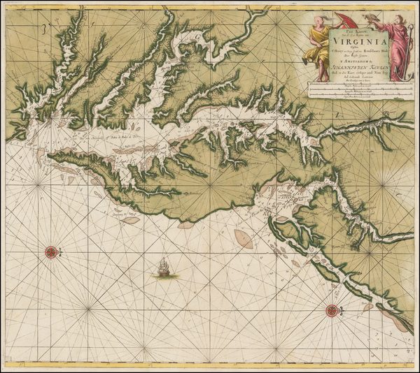
17th Century Sea Chart of The Chesapeake and Delaware Bay -- Virginia, Maryland, Delaware, New Jersey
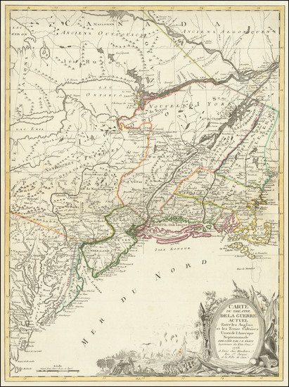
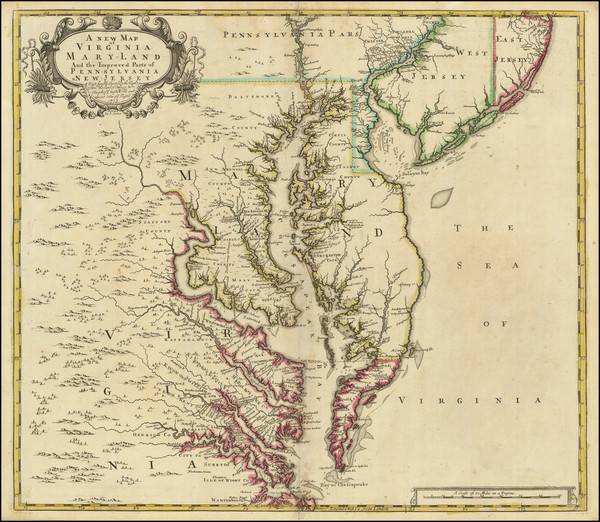
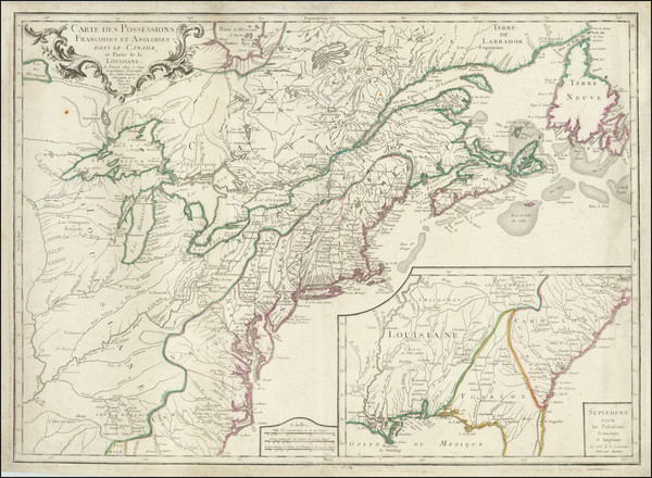
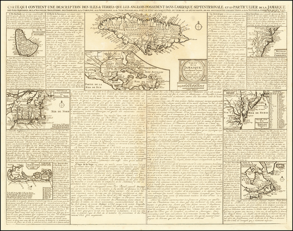
Place/Date:
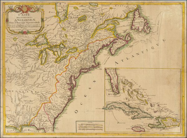
Paris / 1778
Size:
20.5 x 27.5 inches
Condition:
Good
Stock#:
86775
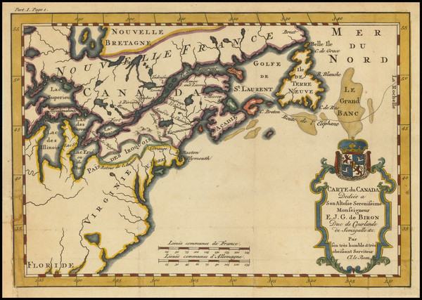
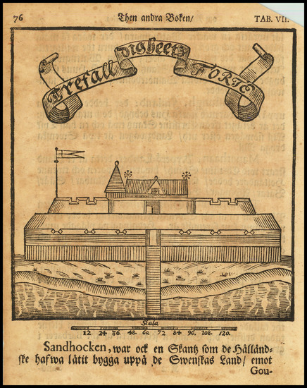
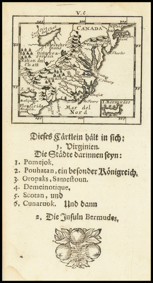
Place/Date:
Paris / 1738
Size:
9 x 6 inches
Condition:
VG+
Stock#:
91075
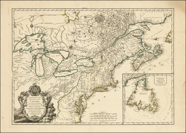
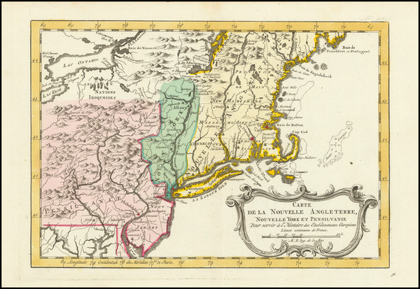
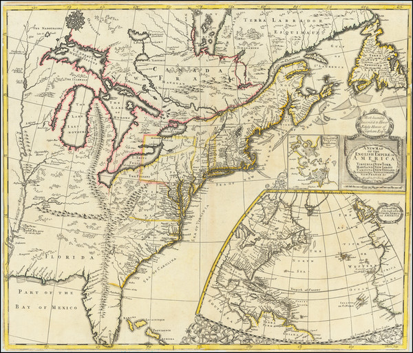
Place/Date:
Paris / 1777
Size:
28.5 x 21 inches
Condition:
VG
Stock#:
89535
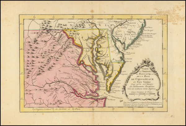
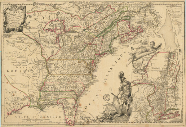
Place/Date:
Paris / 1753 (1755)
Size:
26.5 x 19 inches
Condition:
VG+
Stock#:
94454
Place/Date:
Amsterdam / 1770
Size:
12 x 8 inches
Condition:
Good
Stock#:
100968
Krevelt's 1770 rare map showing the Mid-Atlantic.
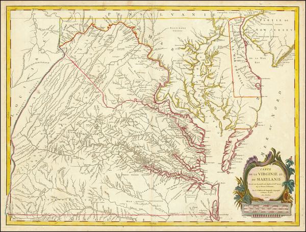
Place/Date:
Paris / 1778
Size:
25.5 x 19 inches
Condition:
VG
Stock#:
89532
Place/Date:
Paris / 1773
Size:
12 x 8 inches
Condition:
VG+
Stock#:
99743
Place/Date:
Paris / 1757
Size:
11.5 x 7.5 inches
Condition:
VG+
Stock#:
76325
Bellin's 1757 rare map showing the Mid-Atlantic.
Place/Date:
Paris / 1777
Size:
24.5 x 17 inches
Condition:
VG
Stock#:
95721

Place/Date:
Madrid / 1826
Size:
36.5 x 24.5 inches
Condition:
VG
Stock#:
48746
Direccion Hidrografica de Madrid's 1826 rare map showing the Mid-Atlantic.
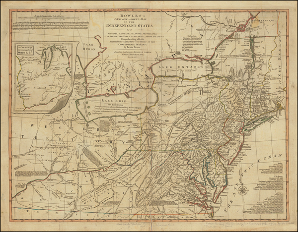
Place/Date:
London / 1796 circa
Size:
25 x 19 inches
Condition:
VG
Stock#:
50850
Antique map showing the Mid-Atlantic by Bowles & Evans made in 1796.
Place/Date:
Boston / 1861
Size:
16.5 x 19.5 inches
Condition:
VG
Stock#:
102933

Place/Date:
Amsterdam / 1651 (1660 ca)
Size:
20.5 x 17.5 inches
Condition:
VG
Stock#:
66922
Jansson's 1651 antique map showing the Mid-Atlantic.
Place/Date:
London / 1754
Size:
10 x 8 inches
Condition:
VG
Stock#:
90978
Place/Date:
London / 1719
Size:
22 x 19.5 inches
Condition:
VG
Stock#:
95619
Senex's 1719 antique map showing the Mid-Atlantic.
Place/Date:
London / 1719
Size:
23.5 x 20 inches
Condition:
VG
Stock#:
74465
Rare map showing the Mid-Atlantic by Senex made in 1719.
Place/Date:
London / 1805
Size:
20.5 x 18 inches
Condition:
VG+
Stock#:
87487
Place/Date:
London / 1685 (1715 ca)
Size:
21.5 x 18 inches
Condition:
VG+
Stock#:
60306op
Original map showing the Mid-Atlantic by Morden / Lea / Willdey / Thornton made in 1685.
Place/Date:
London / 1794
Size:
26 x 19.5 inches
Condition:
VG
Stock#:
49212
Laurie & Whittle's 1794 original map showing the Mid-Atlantic.
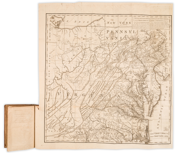
Place/Date:
London / 1733
Size:
24.5 x 40.5 inches
Condition:
VG+
Stock#:
101277
Place/Date:
London / 1777
Size:
11.5 x 14.5 inches
Condition:
VG
Stock#:
94252
Place/Date:
London / 1747
Size:
17 x 14 inches
Condition:
VG
Stock#:
80358
Place/Date:
Boston / 1794 (1803)
Size:
41 x 33 inches
Condition:
VG
Stock#:
55919ops
Antique map showing the Mid-Atlantic by Norman, 1794.
Place/Date:
London / 1755
Size:
8 x 5.5 inches
Condition:
VG
Stock#:
81587

Place/Date:
Augsburg / 1777
Size:
22 x 28.5 inches
Condition:
VG
Stock#:
58857
Rare map showing the Mid-Atlantic by Lotter, 1777.
Place/Date:
London / 1776
Size:
22.5 x 28.5 inches
Condition:
Good
Stock#:
60351
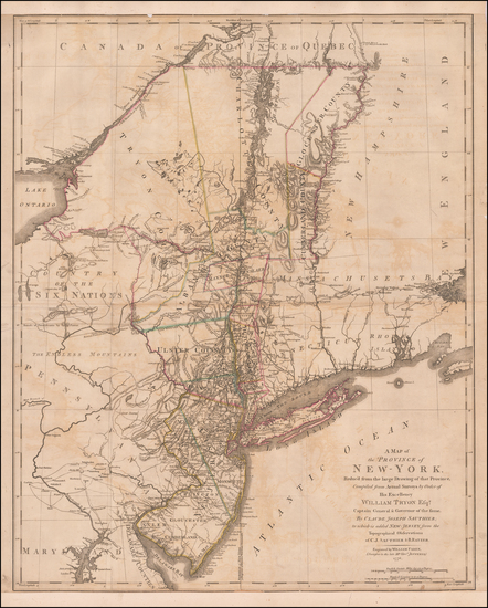
Original map showing the Mid-Atlantic by Sauthier / Ratzer, 1776.
Place/Date:
London / 1794
Size:
18 x 12 inches
Condition:
VG
Stock#:
47362
Conder's 1794 rare map showing the Mid-Atlantic.
Place/Date:
London / 1755 - 1757
Size:
76 x 53 inches If Joined
Condition:
Good
Stock#:
60574dg
Mitchell's 1755 antique map showing the Mid-Atlantic.
Place/Date:
London / 1769
Size:
5 x 7 inches
Condition:
VG
Stock#:
102599
Place/Date:
London / 1757
Size:
9 x 6.5 inches
Condition:
VG+
Stock#:
82894
Place/Date:
Amsterdam / 1778
Size:
12.5 x 12 inches
Condition:
VG+
Stock#:
92476

Place/Date:
New York / 1779
Size:
35 x 31 inches
Condition:
VG
Stock#:
51318
Antique map showing the Mid-Atlantic by Des Barres, 1779.
Place/Date:
London / 1776
Size:
9 x 7 inches
Condition:
VG+
Stock#:
86066
Place/Date:
Paris / 1756
Size:
13.5 x 11 inches ( Whole Sheet)
Condition:
VG
Stock#:
52293op
Gautier d'Agoty's 1756 antique map showing the Mid-Atlantic.
Place/Date:
London / 1598
Size:
13.5 x 10.5 inches
Condition:
VG+
Stock#:
78964
Place/Date:
London / 1830 circa
Size:
47 x 31.5 inches
Condition:
VG+
Stock#:
55819
Norie's 1830 rare map showing the Mid-Atlantic.
Place/Date:
London / 1779
Size:
8.5 x 12 inches
Condition:
VG
Stock#:
83450
Place/Date:
Nuremberg / 1718
Size:
16.5 x 12.5 inches
Condition:
VG
Stock#:
72622
Place/Date:
Frankfurt / 1750
Size:
18 x 23.5 inches
Condition:
VG
Stock#:
51958
Antique map showing the Mid-Atlantic by Evans made in 1750.
Place/Date:
Venice / 1561
Size:
10 x 7 inches
Condition:
VG
Stock#:
64626
1561 Antique Map of North American Coastline.
Place/Date:
Stockhol / 1702 circa
Size:
5 x 6.5 inches
Condition:
VG
Stock#:
79459
Place/Date:
Paris / 1786 [1787]
Size:
23 x 23 inches (map size)
Condition:
VG+
Stock#:
51828
Rare map showing the Mid-Atlantic by Jefferson made in 1786.
Place/Date:
Paris / 1756
Size:
30 x 21.5 inches
Condition:
VG
Stock#:
94026
Place/Date:
Amsterdam / 1656 circa
Size:
25.5 x 22 inches
Condition:
VG+
Stock#:
46535
Colom's 1656 antique map showing the Mid-Atlantic.
Place/Date:
Frankfurt / 1692
Size:
3 x 2.5 inches
Condition:
VG
Stock#:
71479
Place/Date:
Amsterdam / 1719
Size:
22 x 18 inches
Condition:
VG
Stock#:
61480
Place/Date:
London / 1777 circa
Size:
46 x 31.5 inches
Condition:
VG
Stock#:
51531
Des Barres's 1777 rare map showing the Mid-Atlantic.
Place/Date:
Amsterdam / 1695 circa
Size:
23 x 20 inches
Condition:
VG
Stock#:
47255
1695 original Van Keulen map showing the Mid-Atlantic.