
Search
Place/Date:
Paris / 1756
Size:
10 x 5 inches
Condition:
VG+
Stock#:
51996
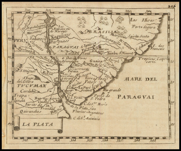
1756 antique Canu map showing Argentina.
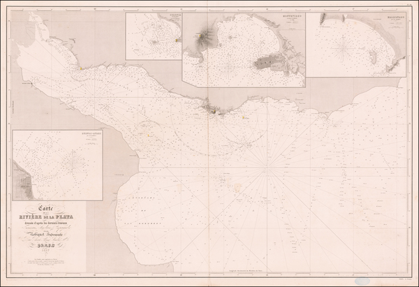
Place/Date:
Paris / 1857
Size:
22 x 17 inches
Condition:
VG
Stock#:
61106
19th Century Sea Chart of Entrance to the Rio De La Plata, Argentina and Uruguay
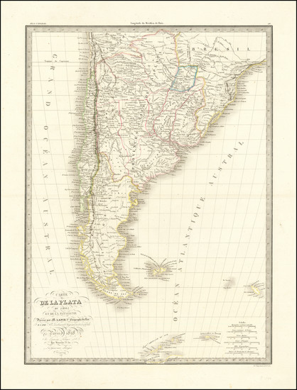
Place/Date:
Paris / 1828
Size:
15.5 x 22 inches
Condition:
VG
Stock#:
99434
Place/Date:
/ 1788
Size:
27.5 x 19.5 inches
Condition:
VG
Stock#:
92295
Place/Date:
Florence / 1646 (1661)
Size:
29.5 x 19 inches
Condition:
VG+
Stock#:
69494hs
Place/Date:
Madrid / 1798
Size:
24 x 37.5 inches
Condition:
VG+
Stock#:
87492
Place/Date:
Paris / 1853
Size:
30 x 48 inches
Condition:
VG+
Stock#:
60309
1853 original Cabrer map showing Argentina.
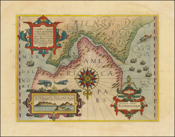
Place/Date:
Amsterdam / 1629 circa
Size:
8 x 6.5 inches
Condition:
VG
Stock#:
65600
Place/Date:
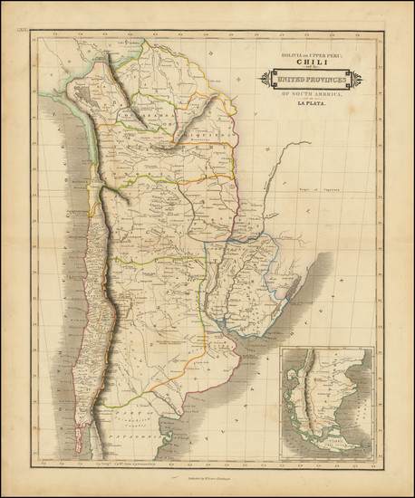
Edinburgh / 1844
Size:
19.5 x 15.5 inches
Condition:
VG
Stock#:
98719
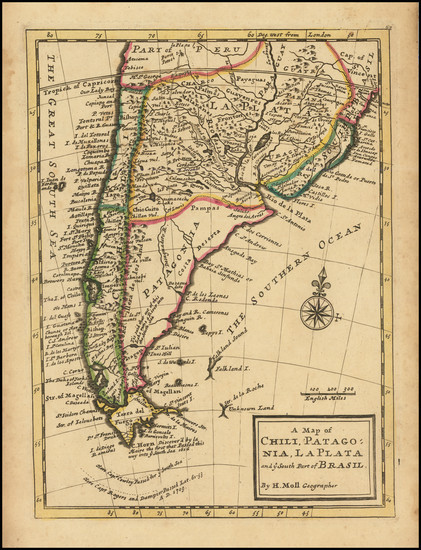
Place/Date:
London / 1729 circa
Size:
8 x 11 inches
Condition:
VG+
Stock#:
93954
Rare map showing Argentina by Moll made in 1729.
Place/Date:
London / 1720
Size:
10.5 x 7 inches
Condition:
VG
Stock#:
81594

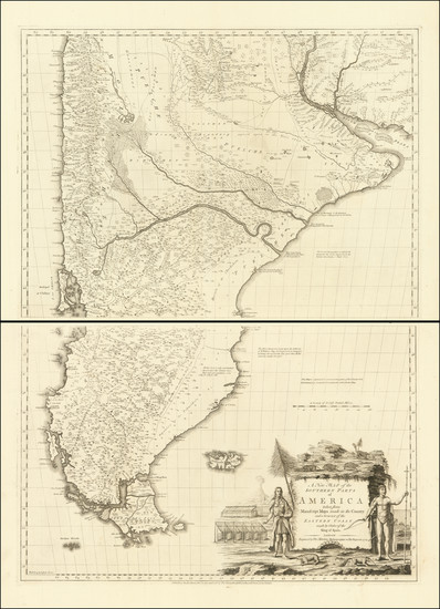
Place/Date:
London / 1775
Size:
27.5 x 20.5 inches
Condition:
VG
Stock#:
96126
Place/Date:
London / 1773
Size:
31 x 22.5 inches
Condition:
VG
Stock#:
91754
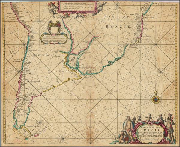
Place/Date:
London / 1675
Size:
20.75 x 17 inches
Condition:
Good
Stock#:
98555

Place/Date:
Paris / 1800
Size:
24.5 x 36 inches
Condition:
VG
Stock#:
57719
Original map showing Argentina by Depot de la Marine, 1800.
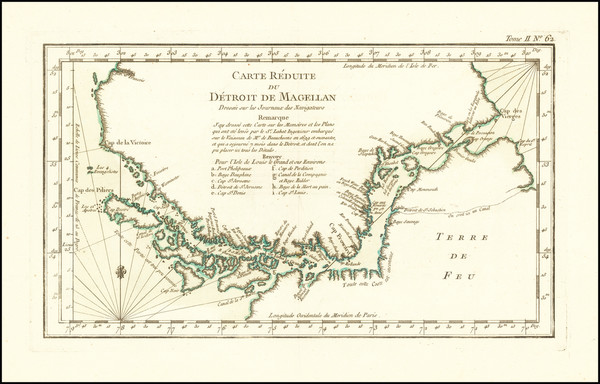
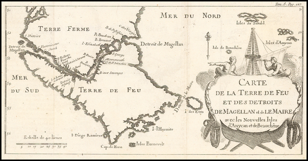
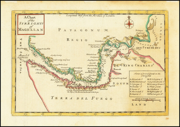
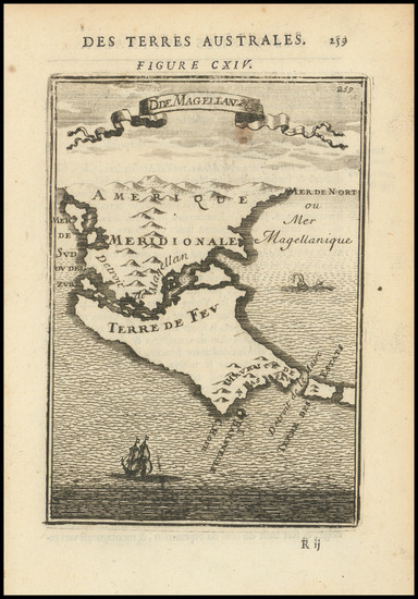
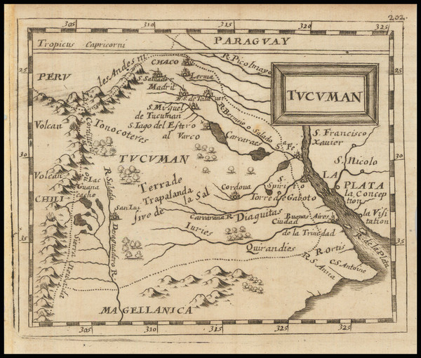
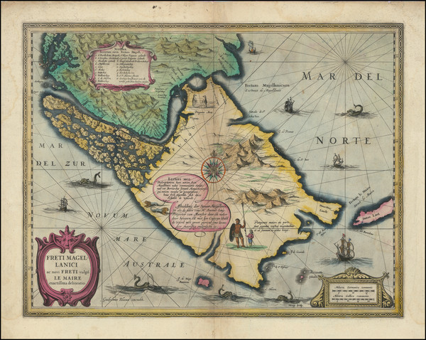
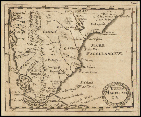
Place/Date:
Paris / 1764
Size:
13.5 x 8.5 inches
Condition:
VG+
Stock#:
66318
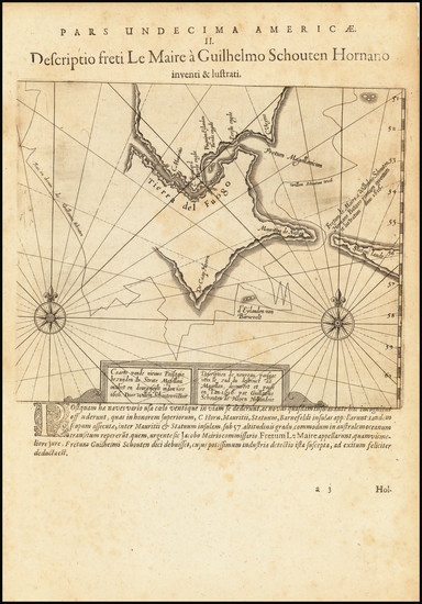
Antique Sea Chart of Straits of Magellan
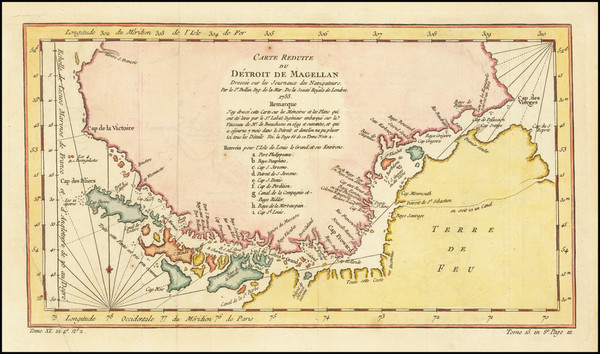
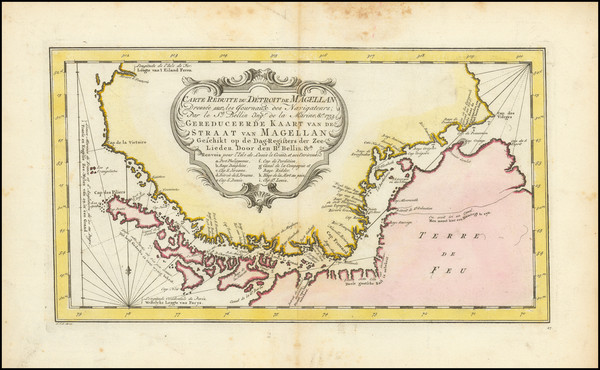
Place/Date:
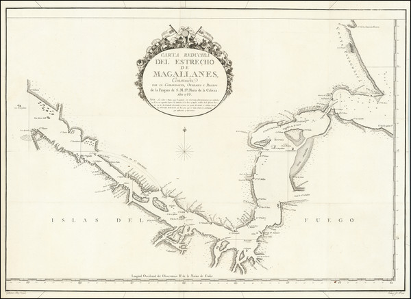
Paris / 1753 circa
Size:
13.5 x 8.5 inches
Condition:
VG
Stock#:
68956
Antique map of the Straits of Magellan
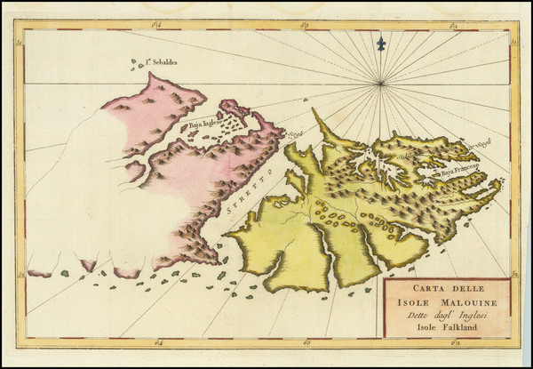
Place/Date:
n.p. / 1780 circa
Size:
6 x 5 inches
Condition:
VG
Stock#:
59597
Original map showing Argentina by Anonymous made in 1780.
Place/Date:
Amsterdam / 1610 circa
Size:
18.5 x 14 inches
Condition:
VG+
Stock#:
94451
Place/Date:
Venice / 1775
Size:
13.5 x 8 inches
Condition:
VG
Stock#:
91880
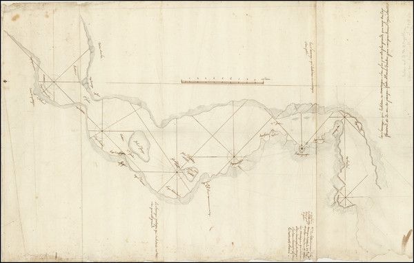
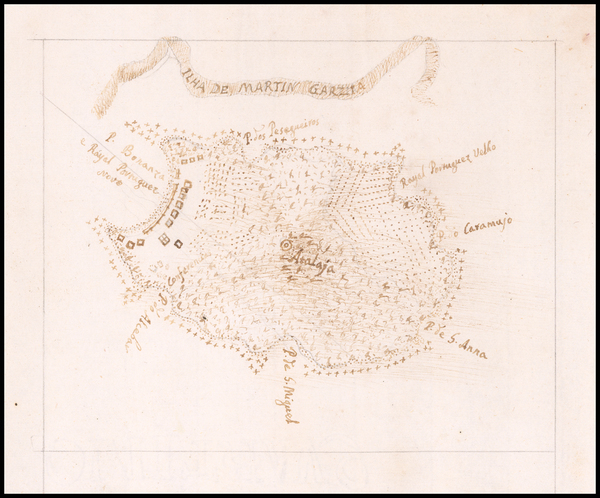
Place/Date:
Shipboard in the Strait of Magellan? / 1766 circa
Size:
15 x 24 inches
Condition:
VG
Stock#:
93919
Place/Date:
Paris / 1686
Size:
4.5 x 6 inches
Condition:
VG+
Stock#:
98040
Mallet's 1686 antique map showing Argentina.
Place/Date:
London / 1910 circa
Size:
39 x 50 inches map
Condition:
VG
Stock#:
101986
Place/Date:
London / 1772
Size:
28 x 39 inches (if joined)
Condition:
VG+
Stock#:
100772
Place/Date:
Amsterdam / 1630
Size:
14 x 11 inches
Condition:
VG+
Stock#:
74695
Place/Date:
Nuremberg / 1681
Size:
5 x 4 inches
Condition:
VG
Stock#:
100939
Place/Date:
Nuremberg / 1681
Size:
4.7 x 4 inches
Condition:
VG
Stock#:
97143
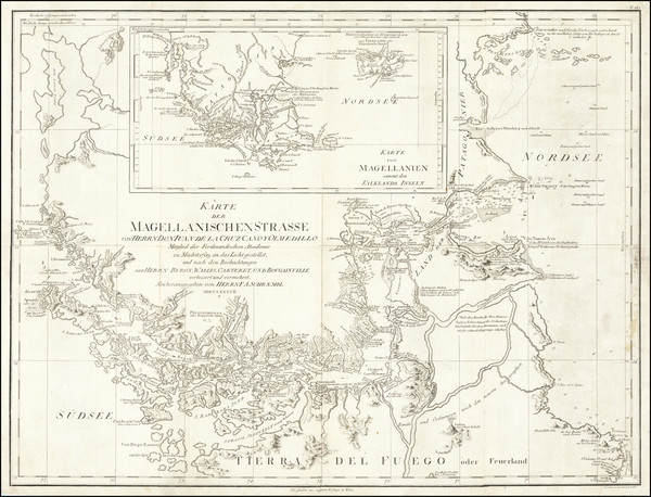
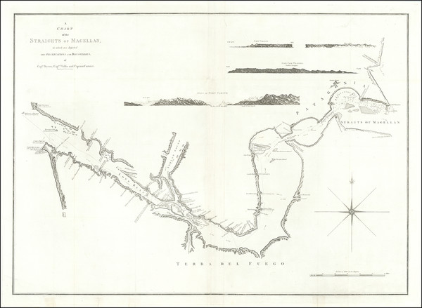
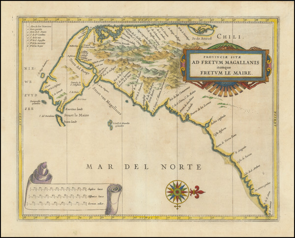
Place/Date:
Vienna / 1787
Size:
26.5 x 20 inches
Condition:
VG+
Stock#:
68181
Original Antique Map of the Strait of Magellan
Place/Date:
Amsterdam / 1630
Size:
19.5 x 15 inches
Condition:
VG
Stock#:
99612
Place/Date:
Amsterdam / 1771
Size:
13.5 x 7.5 inches
Condition:
VG
Stock#:
101054
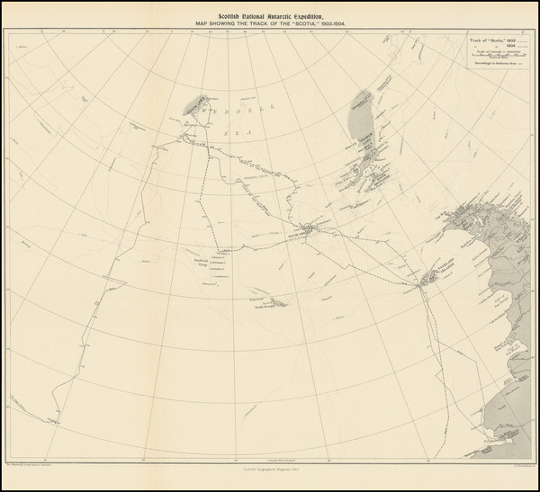
Place/Date:
Edinburgh / 1905
Size:
16 x 13.25 inches
Condition:
VG+
Stock#:
95316
Place/Date:
Nuremberg / 1681
Size:
5 x 4 inches
Condition:
VG
Stock#:
98683
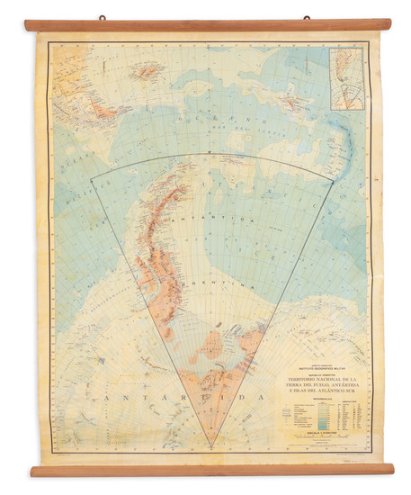
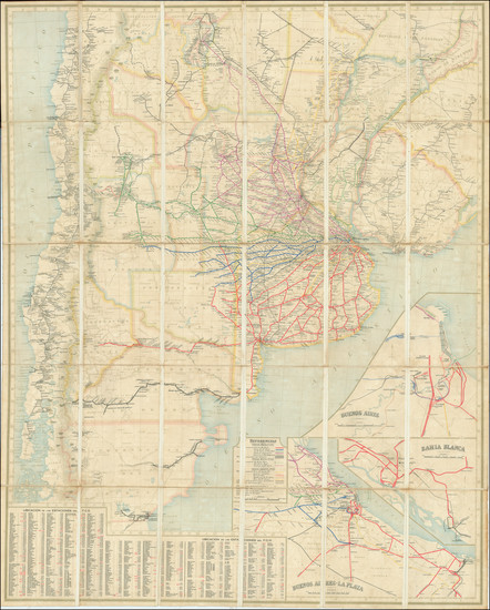
Place/Date:
n.p. (Argentina) / 1973
Size:
41.5 x 31.5 inches
Condition:
VG
Stock#:
94971