
Search
Place/Date:
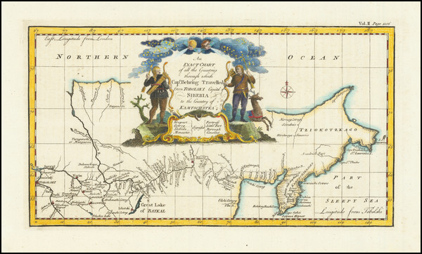
London / 1744
Size:
13 x 7 inches
Condition:
VG+
Stock#:
79238
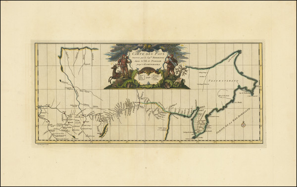
Place/Date:
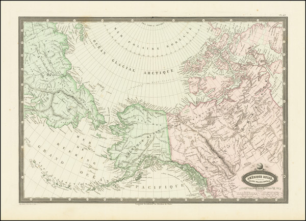
Paris / 1860
Size:
19 x 13 inches
Condition:
VG+
Stock#:
83224
Place/Date:
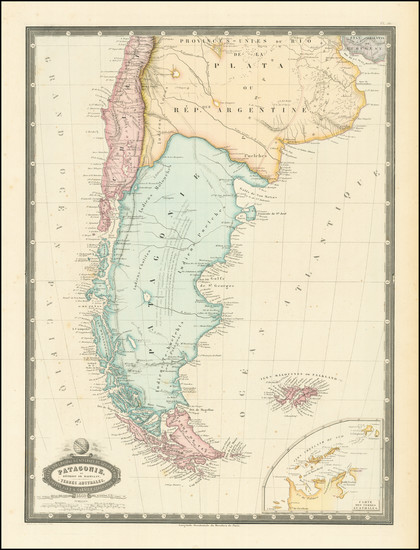
Paris / 1860
Size:
14 x 18.5 inches
Condition:
VG+
Stock#:
84261
Place/Date:
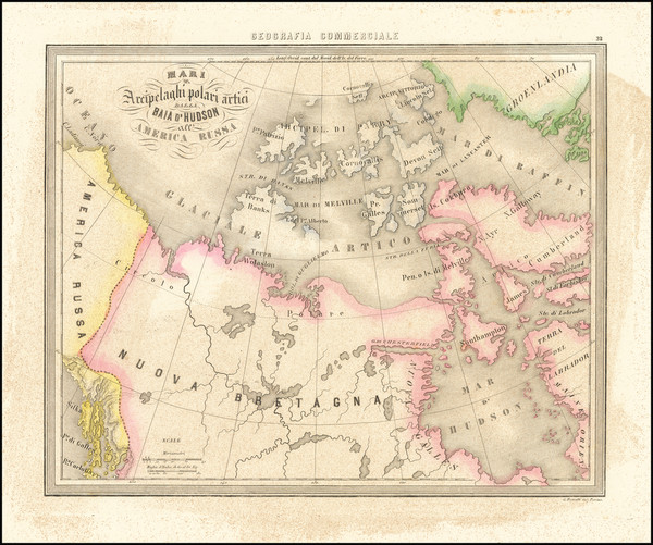
Genoa / 1858
Size:
13 x 10.5 inches
Condition:
VG
Stock#:
65899

Place/Date:
Vienna / 1794
Size:
11 x 9 inches
Condition:
Good
Stock#:
80308
Place/Date:
London / 1787
Size:
17 x 11 inches
Condition:
VG
Stock#:
57281
Hervey's 1787 original map showing Antique Polar Maps.

Place/Date:
New York / 1898
Size:
13 x 10.5 inches
Condition:
VG
Stock#:
78449
Place/Date:
New York / 1866
Size:
13 x 16 inches
Condition:
VG+
Stock#:
96312
Place/Date:
Edinburgh / 1850 circa
Size:
22 x 17 inches
Condition:
VG+
Stock#:
95024
Place/Date:
Chicago / 1907
Size:
10.5 x 13.5 inches
Condition:
VG+
Stock#:
86719

Place/Date:
St. Petersburg / 1773
Size:
25 x 18 inches
Condition:
VG
Stock#:
90200
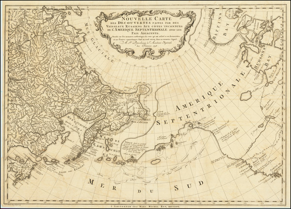
Place/Date:
Amsterdam / 1758 (1766)
Size:
25 x 18 inches
Condition:
VG
Stock#:
84790
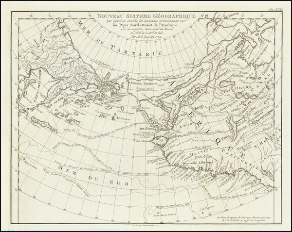
Place/Date:
Amsterdam / 1774 (1777)
Size:
10.5 x 8.5 inches
Condition:
VG+
Stock#:
80212
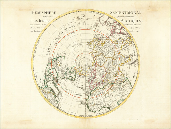
Place/Date:
Paris / 1714
Size:
18 x 18 inches
Condition:
VG
Stock#:
73907
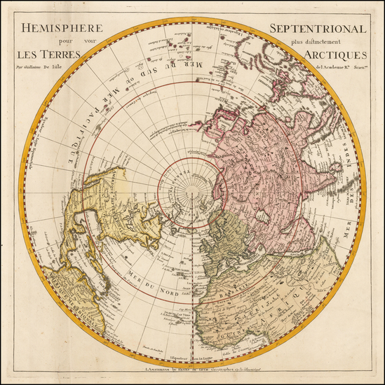
Place/Date:
Amsterdam / 1730 circa
Size:
18 x 18 inches
Condition:
VG
Stock#:
0027dg
Antique map showing Antique Polar Maps by De Leth / De L'Isle made in 1730.
Place/Date:
Amsterdam / 1636
Size:
20 x 17 inches
Condition:
VG
Stock#:
0012dg
Antique map showing Antique Polar Maps by Hondius made in 1636.
Place/Date:
Amsterdam / 1636 circa
Size:
19.5 x 17 inches
Condition:
VG
Stock#:
93127

Place/Date:
Amsterdam / 1638
Size:
19 x 17.5 inches
Condition:
VG
Stock#:
99725
Place/Date:
London / 1729 circa
Size:
11 x 8 inches
Condition:
VG+
Stock#:
65436
18th Century Map of the North Polar Regions
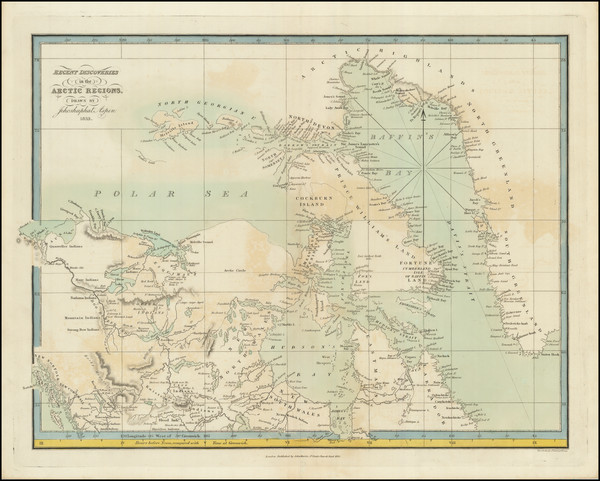
Place/Date:
Edinburgh / 1905
Size:
32.25 x 25.5 inches
Condition:
VG+
Stock#:
95320
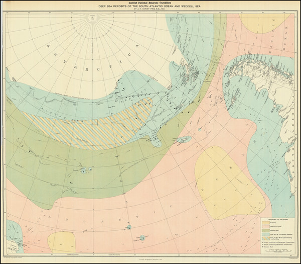
Scottish National Antarctic Expedition Deep Sea Deposits of the South Atlantic Ocean and Weddell Sea
Place/Date:
Perth, Scotland / 1905
Size:
21.5 x 19 inches
Condition:
VG
Stock#:
95314
Place/Date:
Amsterdam / 1725 circa
Size:
12.5 x 7.5 inches
Condition:
VG
Stock#:
84117

Place/Date:
Paris / 1766
Size:
33 x 22 inches
Condition:
VG+
Stock#:
37346ops
Antique Map of the Pacific Northwest and Northwest Passsage
Place/Date:
Paris / 1758
Size:
13.5 x 8.5 inches
Condition:
VG+
Stock#:
38760pb
Bellin's 1758 original map showing Antique Polar Maps.

Place/Date:
Paris / 1758
Size:
14 x 8 inches
Condition:
VG+
Stock#:
43313
1758 antique Bellin map showing Antique Polar Maps.
Place/Date:
Paris / 1765
Size:
34 x 21.5 inches
Condition:
VG+
Stock#:
80022
Place/Date:
Paris / 1757
Size:
9.5 x 6.5 inches
Condition:
VG
Stock#:
78901
Place/Date:
Paris / 1757
Size:
12 x 9 inches
Condition:
VG
Stock#:
96825
Rare map showing Antique Polar Maps by Bellin, 1757.
Place/Date:
St. Petersburg / 1760
Size:
12 x 9 inches
Condition:
VG+
Stock#:
100628
Place/Date:
Amsterdam / 1790 circa
Size:
17 x 10 inches
Condition:
VG+
Stock#:
38194
Elwe's 1790 rare map showing Antique Polar Maps.
Place/Date:
Almelo and Deventer / 1747
Size:
11 x 7 inches
Condition:
VG+
Stock#:
95217
Place/Date:
Amsterdam / 1614
Size:
8 x 12.5 inches
Condition:
See Description
Stock#:
93009
Place/Date:
Amsterdam / 1596
Size:
22 x 15.5 inches
Condition:
VG
Stock#:
95663
Place/Date:
Amsterdam / 1628 circa
Size:
8 x 5.5 inches
Condition:
VG
Stock#:
0016dg
Miniature Antique Polar Map Published in Amsterdam by Jan Janssonius

Place/Date:
Amsterdam / 1650 circa
Size:
22 x 17.5 inches
Condition:
VG+
Stock#:
73997
Jansson's 1650 rare map showing Antique Polar Maps.
Place/Date:
Amsterdam / 1640 circa
Size:
20.5 x 16 inches
Condition:
VG
Stock#:
91229
Place/Date:
Amsterdam / 1644 circa
Size:
20 x 17 inches
Condition:
VG
Stock#:
95152
Place/Date:
Berlin / 1791
Size:
25 x 19 inches
Condition:
VG
Stock#:
41816dm
Forster's 1791 antique map showing Antique Polar Maps.
Place/Date:
Paris / 1657 circa
Size:
8 x 6 inches
Condition:
VG+
Stock#:
84784
Picart's 1657 rare map showing Antique Polar Maps.
Place/Date:
Paris / 1735
Size:
21 x 9.5 inches
Condition:
VG+
Stock#:
90639
Place/Date:
London / 1833
Size:
17.5 x 13 inches
Condition:
VG
Stock#:
96297
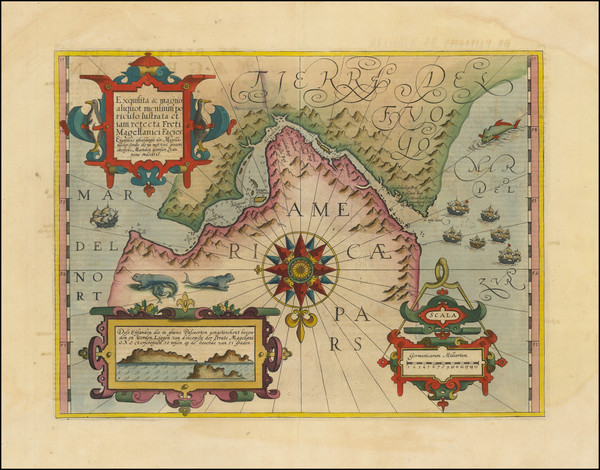
Place/Date:
Amsterdam / 1610 circa
Size:
18.5 x 14 inches
Condition:
VG+
Stock#:
94451
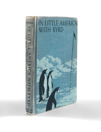
Place/Date:
Boston / 1937
Size:
6 x 8 inches
Condition:
VG
Stock#:
94002
Place/Date:
Nuremberg / 1705 circa
Size:
22.5 x 19 inches
Condition:
VG
Stock#:
73985
Place/Date:
Nuremberg / 1678
Size:
4 x 5 inches
Condition:
VG
Stock#:
96481
Place/Date:
Berlin / 1753 circa
Size:
12 x 12 inches Each
Condition:
VG
Stock#:
81806
Place/Date:
Berlin / 1753
Size:
12 x 12 inches Each
Condition:
VG
Stock#:
102686

Place/Date:
Nuremberg / 1800 circa
Size:
8.5 x 8.5 inches
Condition:
VG+
Stock#:
46375
Antique map showing Antique Polar Maps by Klinger made in 1800.
Place/Date:
Strasbourg / 1600 circa
Size:
10.5 x 10.5 inches
Condition:
VG
Stock#:
54480
Oterschaden's 1600 original map showing Antique Polar Maps.
Place/Date:
Augsburg / 1787
Size:
9 x 7.5 inches
Condition:
VG
Stock#:
18651
1787 original Walch map showing Antique Polar Maps.