
Search
Place/Date:
Paris / 1657
Size:
21.5 x 15.5 inches
Condition:
VG
Stock#:
65030
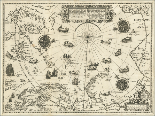
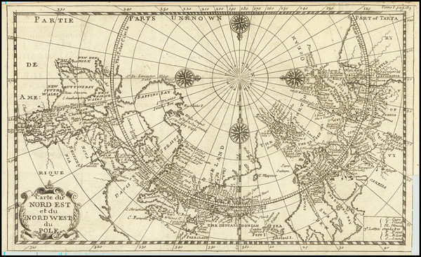
Place/Date:
Paris / 1657 circa
Size:
8 x 6 inches
Condition:
VG+
Stock#:
84784
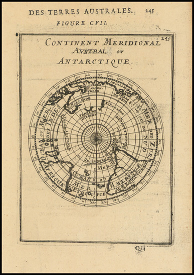
Picart's 1657 rare map showing Antique Polar Maps.
Place/Date:
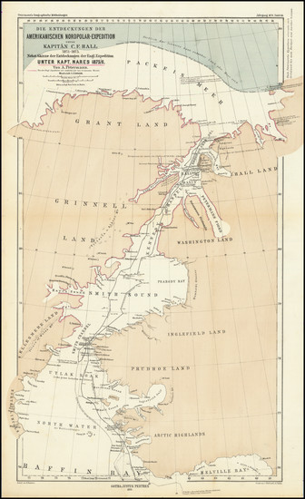
n.p. / 1882
Size:
14.25 x 14.25 inches
Condition:
VG+
Stock#:
95319
Place/Date:
Edinburgh / 1820
Size:
14.5 x 18 inches
Condition:
VG
Stock#:
91973
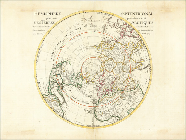
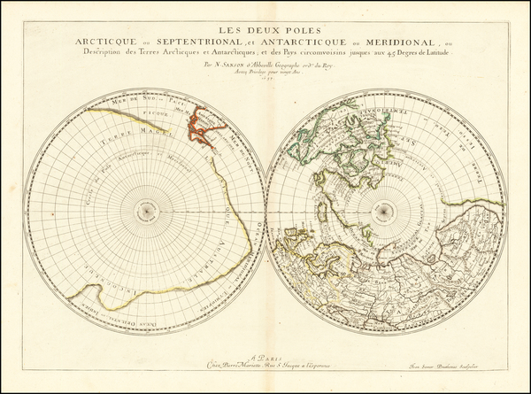
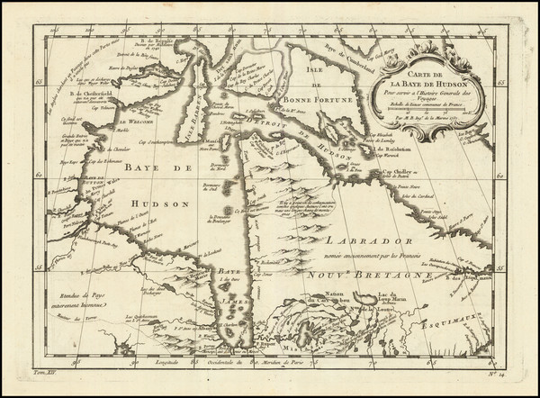
Place/Date:
Paris / 1714
Size:
18 x 18 inches
Condition:
VG
Stock#:
73907
Place/Date:
Amsterdam / 1730 circa
Size:
18 x 18 inches
Condition:
VG
Stock#:
0027dg
Antique map showing Antique Polar Maps by De Leth / De L'Isle made in 1730.
Place/Date:
Amsterdam / 1741
Size:
20 x 18 inches
Condition:
VG+
Stock#:
68768
Place/Date:
Amsterdam / 1741 circa
Size:
18 x 18 inches
Condition:
VG
Stock#:
91931
Place/Date:
Paris / 1697 circa
Size:
17.25 x 9.5 inches
Condition:
VG
Stock#:
85541

Place/Date:
Amsterdam / 1740
Size:
24 x 18 inches Including Text
Condition:
VG
Stock#:
91393
Place/Date:
Amsterdam / 1745
Size:
18 x 18 inches
Condition:
VG+
Stock#:
90359
Place/Date:
Amsterdam / 1660
Size:
20 x 17 inches
Condition:
VG+
Stock#:
96302
Antique map showing Antique Polar Maps by Cellarius made in 1660.
Place/Date:
Amsterdam / 1708
Size:
19.5 x 17 inches
Condition:
Good
Stock#:
101507

Place/Date:
Vienna / 1794
Size:
11 x 9 inches
Condition:
Good
Stock#:
80308
Place/Date:
Paris / 1683
Size:
4 x 6.5 inches Including Text
Condition:
VG
Stock#:
80400
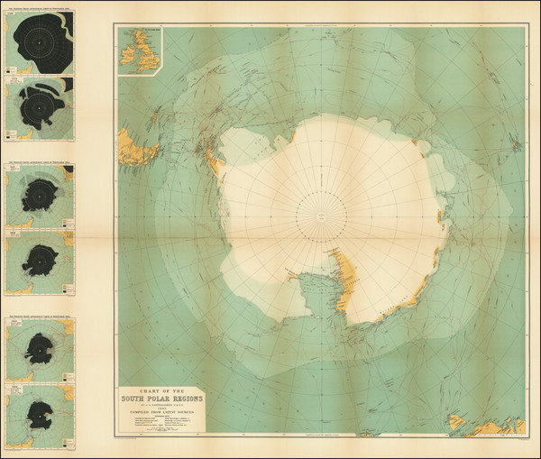
Place/Date:
New York / 1943
Size:
47.63 x 34.5 inches (including text)
Condition:
VG+
Stock#:
92406
Place/Date:
Nuremberg / 1705 circa
Size:
22.5 x 19 inches
Condition:
VG
Stock#:
73985
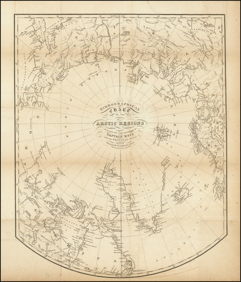
Place/Date:
Edinburgh / 1850 circa
Size:
22 x 17 inches
Condition:
VG+
Stock#:
95024

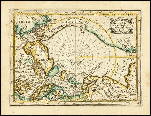
Place/Date:
Nuremberg / 1720
Size:
14 x 12 inches
Condition:
VG+
Stock#:
0026dg
1720 rare Weigel map showing Antique Polar Maps.
Place/Date:
Louvain / 1597
Size:
11.5 x 9 inches
Condition:
VG
Stock#:
72220
Wytfliet's 1597 original map showing Antique Polar Maps.
Place/Date:
Antwerp / 1584
Size:
18.5 x 14 inches
Condition:
VG+
Stock#:
83516
Place/Date:
Brussels / 1825
Size:
20 x 18 inches
Condition:
VG
Stock#:
19806
1825 antique Vandermaelen map showing Antique Polar Maps.
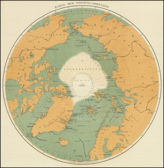
Place/Date:
Gotha / 1885
Size:
14.2 x 8.75 inches
Condition:
VG+
Stock#:
101690

Place/Date:
Gotha, Germany / 1877
Size:
9.5 x 12.25 inches
Condition:
VG+
Stock#:
98474
Place/Date:
Gotha, Germany / 1876
Size:
10.75 x 17.5 inches
Condition:
VG
Stock#:
98477
Place/Date:
Amsterdam / 1598
Size:
22 x 16.5 inches
Condition:
VG
Stock#:
62203
16th Century Antique Map /Sea Chart of Polar Regions / Northeast Passage
Place/Date:
Amsterdam / 1596
Size:
22 x 15.5 inches
Condition:
VG
Stock#:
95663
Place/Date:
Almelo and Deventer / 1747
Size:
11 x 7 inches
Condition:
VG+
Stock#:
95217
Place/Date:
Amsterdam / 1623
Size:
14 x 10 inches
Condition:
VG
Stock#:
75286
Place/Date:
Amsterdam / 1623 circa
Size:
14 x 10.2 inches
Condition:
VG
Stock#:
75203
Place/Date:
Paris / 1683
Size:
4.5 x 6.5 inches
Condition:
VG
Stock#:
99274
Mallet's 1683 original map showing Antique Polar Maps.
Place/Date:
Edinburgh / 1905
Size:
32.25 x 25.5 inches
Condition:
VG+
Stock#:
95320
Place/Date:
London / 1824
Size:
24 x 16.5 inches
Condition:
VG
Stock#:
26460
Antique map showing Antique Polar Maps by Parry, 1824.
Place/Date:
Paris / 1765
Size:
34 x 21.5 inches
Condition:
VG+
Stock#:
80022
Place/Date:
Paris / 1758
Size:
13.5 x 8.5 inches
Condition:
VG+
Stock#:
38760pb
Bellin's 1758 original map showing Antique Polar Maps.
Place/Date:
Paris / 1776
Size:
35 x 22.5 inches Including Text
Condition:
VG
Stock#:
79970

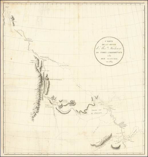
Place/Date:
Paris / 1766
Size:
33 x 22 inches
Condition:
VG+
Stock#:
37346ops
Antique Map of the Pacific Northwest and Northwest Passsage

Place/Date:
Paris / 1772
Size:
15 x 12 inches
Condition:
VG+
Stock#:
50181
Original map showing Antique Polar Maps by Diderot & de Vaugondy made in 1772.
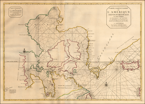
Place/Date:
Amsterdam / 1695 circa
Size:
32.5 x 23 inches
Condition:
VG
Stock#:
57076
Antique map showing Antique Polar Maps by Mortier, 1695.
Place/Date:
Amsterdam / 1725 circa
Size:
12.5 x 7.5 inches
Condition:
VG
Stock#:
84117
Place/Date:
Paris / 1746
Size:
13 x 10 inches
Condition:
VG
Stock#:
90997
Place/Date:
Paris / 1735
Size:
21 x 9.5 inches
Condition:
VG+
Stock#:
90639
Place/Date:
Paris / 1757
Size:
9.5 x 6.5 inches
Condition:
VG
Stock#:
78901
Place/Date:
Paris / 1752
Size:
25 x 18 inches
Condition:
VG+
Stock#:
74874
Place/Date:
Paris / 1780
Size:
25.5 x 18.5 inches
Condition:
VG+
Stock#:
78451
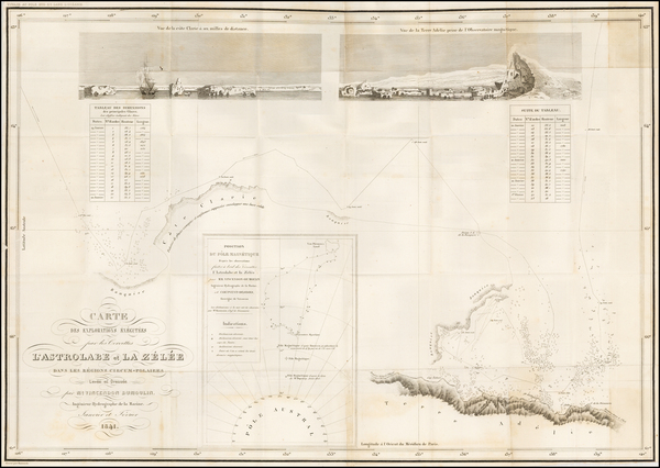
Place/Date:
Paris / 1841
Size:
23.5 x 16.5 inches
Condition:
VG+
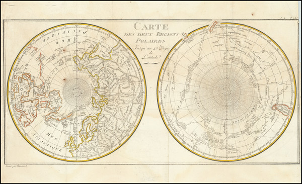
Stock#:
52328
Rare map showing Antique Polar Maps by Vincendon Dumoulin made in 1841.
Place/Date:
Paris / 1778
Size:
17.5 x 9 inches
Condition:
VG
Stock#:
95130
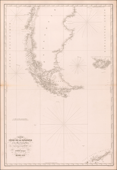
Place/Date:
Paris / 1853
Size:
26.5 x 38.3 inches
Condition:
VG
Stock#:
58687
Robiquet's 1853 original map showing Antique Polar Maps.
Place/Date:
Paris / 1802
Size:
22 x 23.5 inches
Condition:
VG
Stock#:
103457
Place/Date:
Paris / 1757
Size:
12 x 9 inches
Condition:
VG
Stock#:
96825
Rare map showing Antique Polar Maps by Bellin, 1757.