
Search
Old and antique maps of Eastern Canada for sale. Our authentic Eastern Canada map inventory features antique maps of Canada from the period of New France, the Hudson Bay Company, and early exploration by mapmakers such as Champlain. Our map inventory typically includes antique and vintage city views and plans of Montreal, Quebec, and Toronto, as well as maps of Ontario, Upper and Lower Canada, Quebec, Newfoundland and Labrador, Prince Edward Island, Nova Scotia, and New Brunswick. Vintage pictorial maps of Eastern Canada are also for sale.
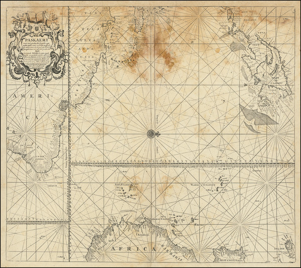
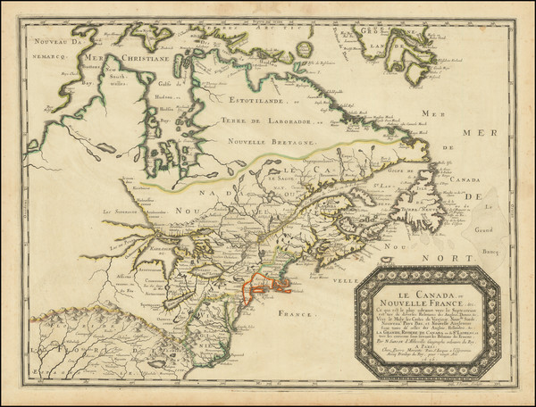
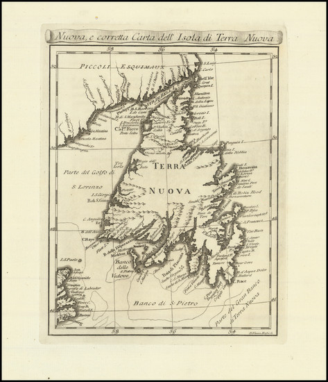
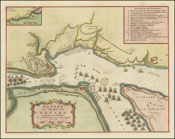
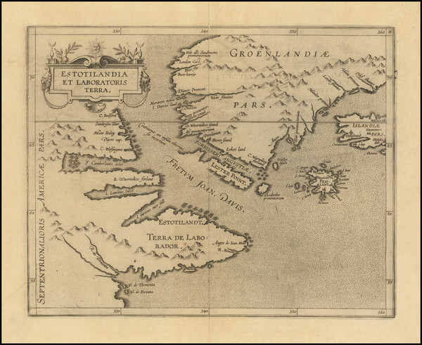
Place/Date:
Amsterdam / 1680
Size:
23.5 x 20 inches
Condition:
Fair
Stock#:
94147
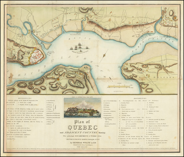
Place/Date:
Philadelphia / 1815
Size:
19.5 x 15 inches
Condition:
Fair
Stock#:
84804
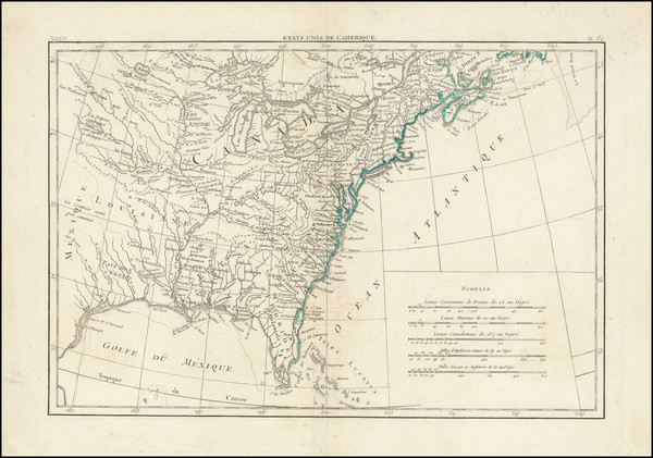
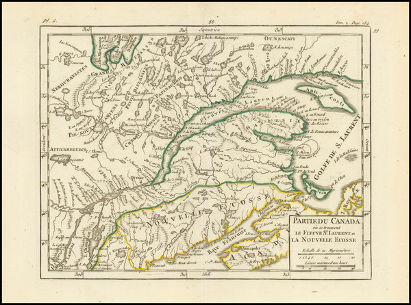
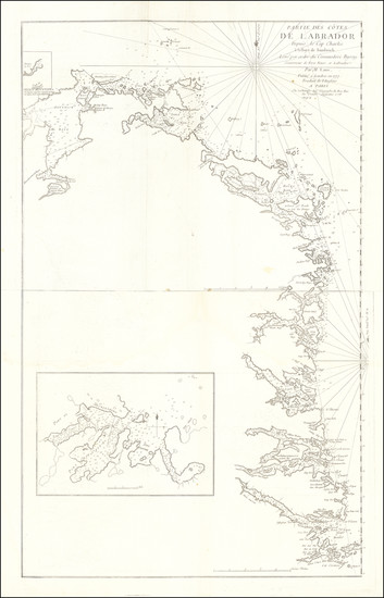
Place/Date:
Paris / 1787
Size:
17 x 11.75 inches
Condition:
VG
Stock#:
98746
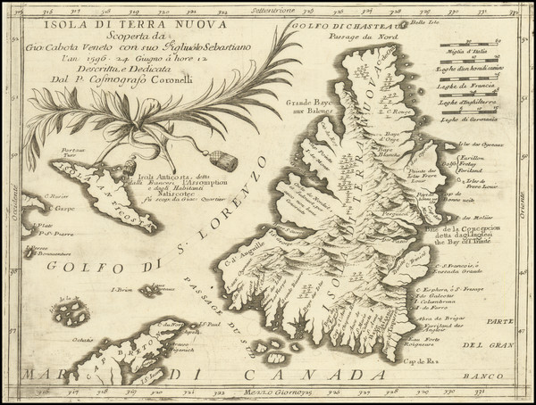
Place/Date:
Venice / 1690 circa
Size:
12 x 9 inches
Condition:
VG
Stock#:
98645
Original map showing Eastern Canada by Coronelli made in 1690.
Place/Date:
London / 1851
Size:
13 x 9.5 inches
Condition:
VG+
Stock#:
84032

Place/Date:
London / 1775
Size:
22 x 21.5 inches
Condition:
VG
Stock#:
90814
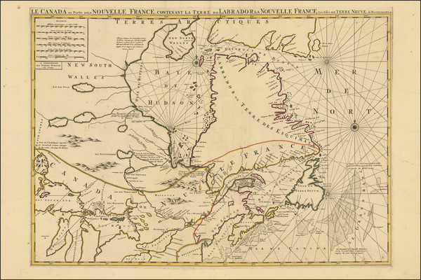
Place/Date:
Paris / 1656
Size:
21 x 15.5 inches
Condition:
VG
Stock#:
99318
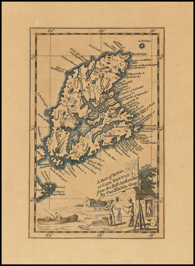
Place/Date:
London / 1777 circa
Size:
31.5 x 24 inches
Condition:
Good
Stock#:
53739
Antique map showing Eastern Canada by Mount & Page / Southack, 1777.
Place/Date:
Amsterdam / 1695 circa
Size:
23 x 20 inches
Condition:
VG+
Stock#:
94453
Van Keulen's 1695 antique map showing Eastern Canada.
Place/Date:
Paris / 1752
Size:
11 x 9 inches
Condition:
See Description
Stock#:
99758
Bellin's 1752 antique map showing Eastern Canada.
Place/Date:
Amsterdam / 1745
Size:
24 x 21 inches
Condition:
VG
Stock#:
87829
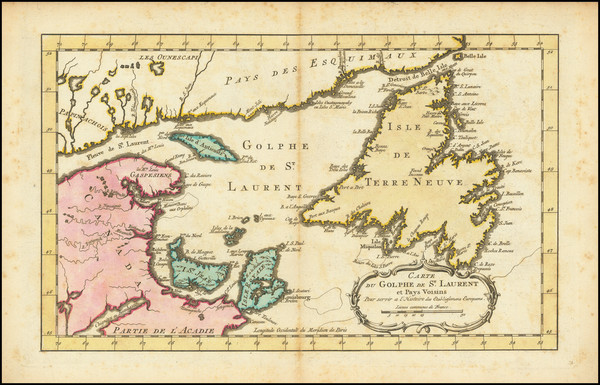
Place/Date:
London / 1775
Size:
19.5 x 24 inches
Condition:
VG
Stock#:
66231
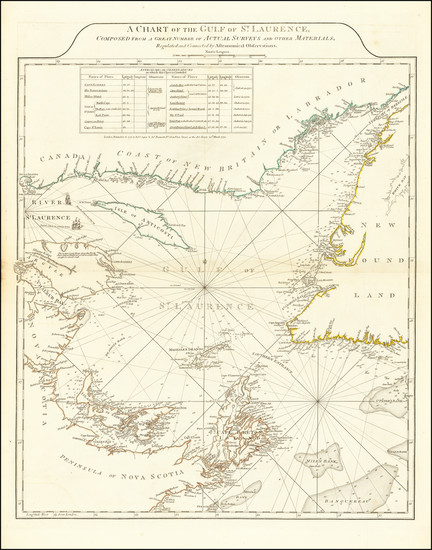
Antique Map of Gulf of St. Laurence
Place/Date:
London / 1792
Size:
15.5 x 12.5 inches
Condition:
VG
Stock#:
99856
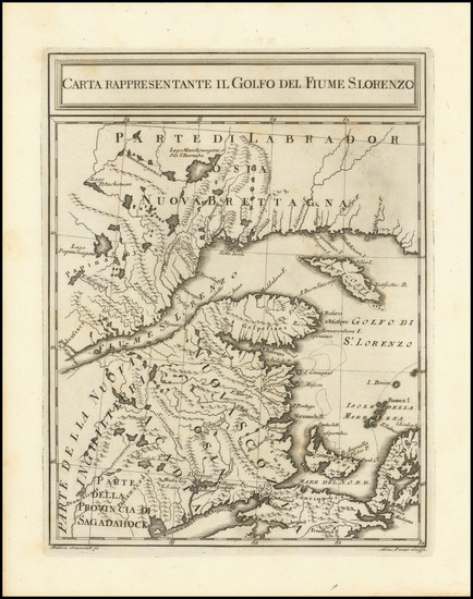
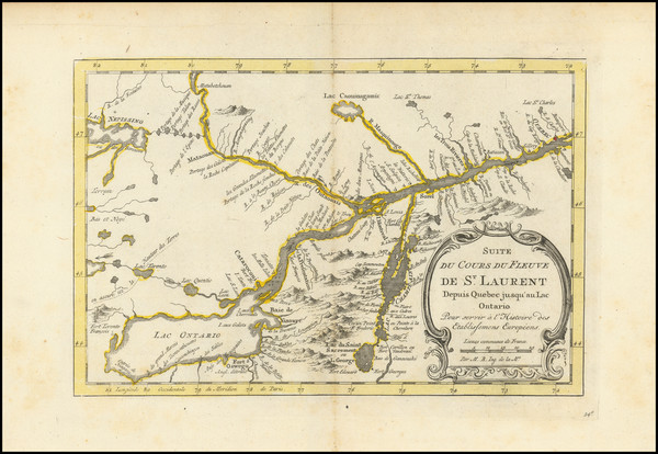
Place/Date:
Paris / 1749
Size:
8 x 7 inches
Condition:
VG
Stock#:
99952
Place/Date:
Livorno / 1763
Size:
7.5 x 10 inches
Condition:
VG+
Stock#:
99719
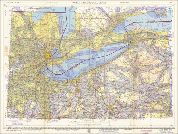
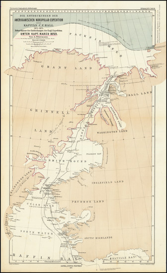
Place/Date:
Washington, D.C. / 1952
Size:
27.8 x 20.4 inches
Condition:
VG+
Stock#:
98802

Place/Date:
Paris / 1787
Size:
13 x 9.5 inches
Condition:
VG
Stock#:
81627
Place/Date:
Amsterdam / 1696
Size:
22.5 x 34.5 inches
Condition:
VG
Stock#:
99328
Place/Date:
Livorno, Italy / 1777
Size:
6.5 x 8 inches
Condition:
VG+
Stock#:
99718
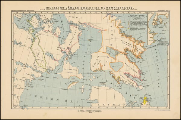
Place/Date:
Gotha, Germany / 1876
Size:
10.75 x 17.5 inches
Condition:
VG
Stock#:
98477
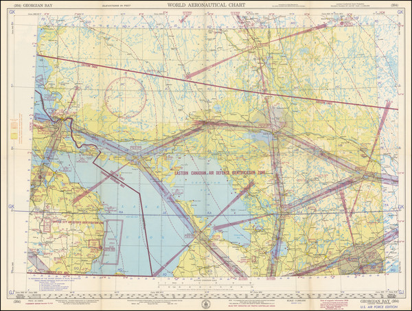
Place/Date:
Washington, D.C. / 1951
Size:
27.75 x 20.4 inches
Condition:
VG+
Stock#:
98761

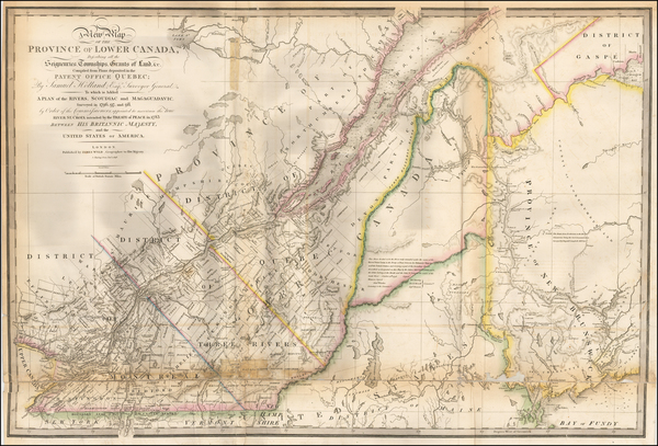
Place/Date:
New York / 1857
Size:
51.5 x 37.5 inches
Condition:
Fair
Stock#:
85637
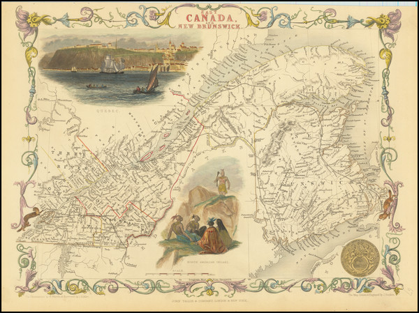
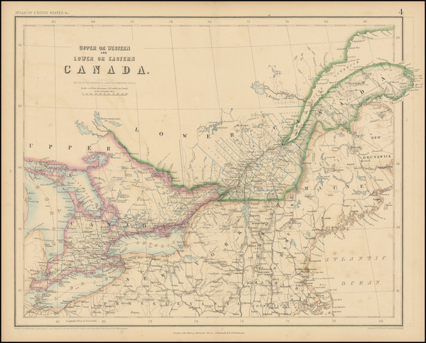
Place/Date:
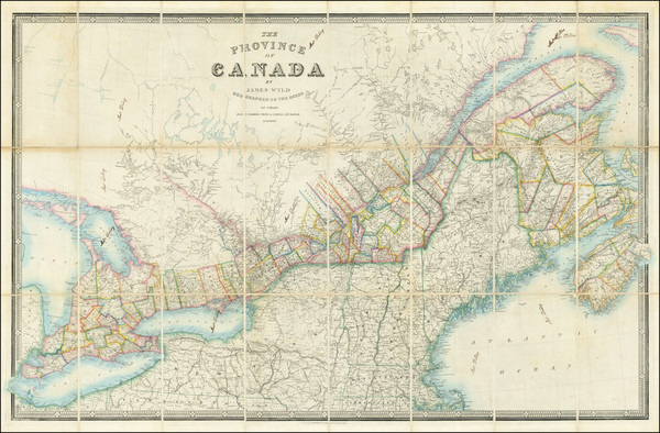
London / 1838
Size:
34 x 23 inches
Condition:
Good
Stock#:
51522
1838 antique Wyld map showing Eastern Canada.
Place/Date:
London / 1807
Size:
20 x 18 inches
Condition:
VG+
Stock#:
100331

Place/Date:
Amsterdam / 1684 circa
Size:
21.5 x 18.5 inches
Condition:
VG
Stock#:
93874
Place/Date:
St. Petersburg / 1760
Size:
12 x 9 inches
Condition:
VG+
Stock#:
100628
Place/Date:
Amsterdam / 1770
Size:
13 x 8 inches
Condition:
VG
Stock#:
100962
Place/Date:
London / 1766
Size:
31 x 24 inches
Condition:
VG
Stock#:
101252
Place/Date:
Edinburgh / 1875
Size:
23 x 17 inches
Condition:
VG
Stock#:
98842
Place/Date:
Amsterdam / 1770 circa
Size:
14 x 9 inches
Condition:
VG
Stock#:
101566
1770 original Schley map showing Eastern Canada.
Place/Date:
Amsterdam / 1771
Size:
12 x 7.5 inches
Condition:
VG
Stock#:
101652
Place/Date:
Gotha / 1885
Size:
14.2 x 8.75 inches
Condition:
VG+
Stock#:
101690
Place/Date:
Boston / 1901
Size:
28 x 42.5 inches
Condition:
Good
Stock#:
87611
Place/Date:
Amsterdam / 1765
Size:
17 x 13 inches
Condition:
VG+
Stock#:
93087

Place/Date:
Paris / 1761
Size:
33 x 22.5 inches
Condition:
VG+
Stock#:
80008
Place/Date:
Paris / 1755
Size:
24 x 20 inches
Condition:
VG
Stock#:
78836
Place/Date:
London / 1747
Size:
4 x 7 inches
Condition:
VG
Stock#:
101397
Place/Date:
Chicago / 1895
Size:
13 x 10 inches
Condition:
VG+
Stock#:
101146
Place/Date:
London / 1747
Size:
17 x 14 inches
Condition:
VG
Stock#:
102804
Place/Date:
Frankfurt / 1789
Size:
9 x 14 inches
Condition:
VG+
Stock#:
57192
Antique map showing Eastern Canada by Therbu, 1789.
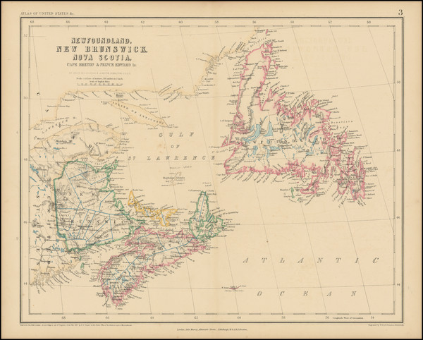
Place/Date:
Edinburgh / 1857
Size:
17 x 13 inches
Condition:
VG
Stock#:
102907
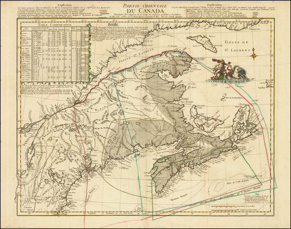
Place/Date:
Paris / 1778
Size:
22 x 35 inches
Condition:
VG
Stock#:
62923
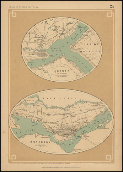
Place/Date:
London / 1857
Size:
16 x 13 inches
Condition:
VG+
Stock#:
102916
Place/Date:
London / 1857
Size:
8 x 12 inches
Condition:
VG
Stock#:
102981
Place/Date:
Louvain / 1597
Size:
11.5 x 9 inches
Condition:
VG
Stock#:
72220
Wytfliet's 1597 original map showing Eastern Canada.
Place/Date:
Venice / 1690 circa
Size:
24 x 16 inches
Condition:
VG
Stock#:
0017dg
1690 antique Coronelli map showing Eastern Canada.
Place/Date:
Venice / 1561 (1574)
Size:
10 x 7.5 inches
Condition:
VG+
Stock#:
86737
Ruscelli's 1561 antique map showing Eastern Canada.
Place/Date:
n.p. / 1915
Size:
20 x 27.5 inches
Condition:
VG
Stock#:
103140
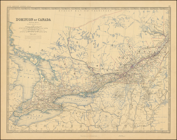
Place/Date:
London / 1856 circa
Size:
37.4 x 23.8 inches
Condition:
VG
Stock#:
85406
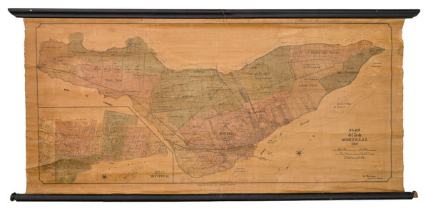
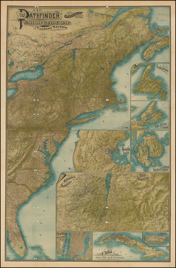
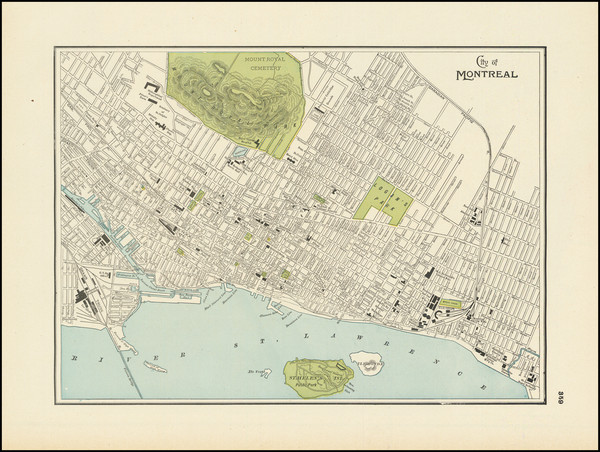
Place/Date:
Montreal / 1890
Size:
44 x 20.5 inches
Condition:
Good
Stock#:
103021