
Search
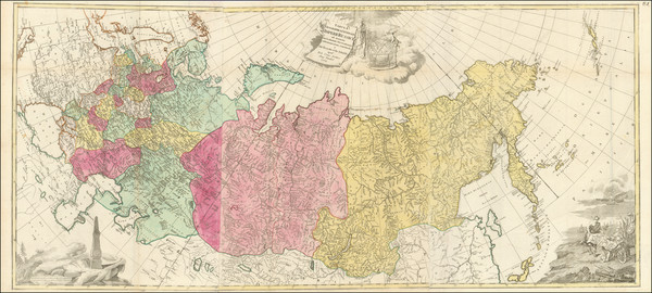
Place/Date:
Augsburg / 1784
Size:
57 x 76.5 inches (if joined)
Condition:
VG+
Stock#:
99567
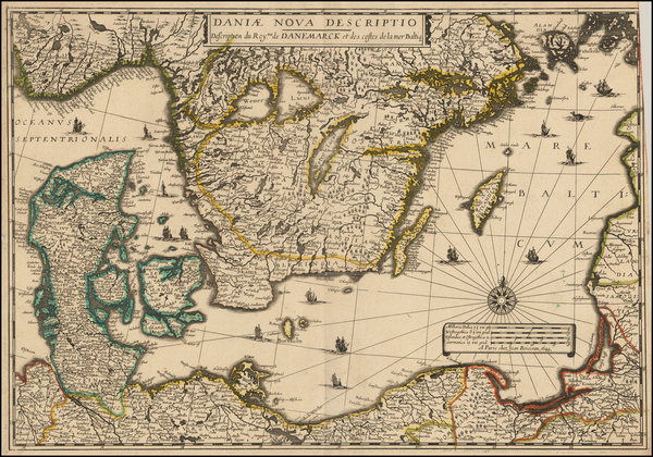
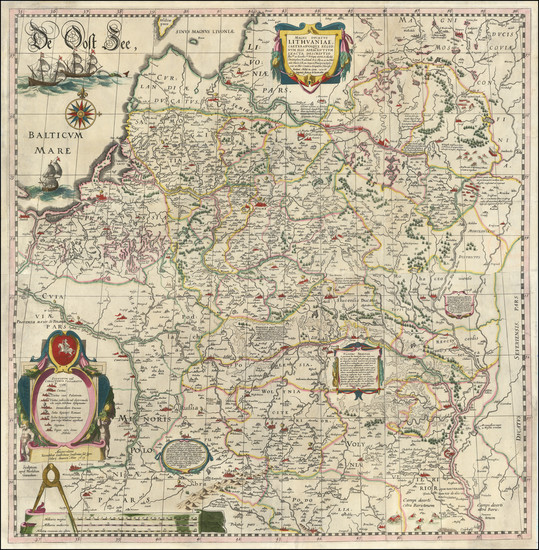
Place/Date:
Paris / 1644
Size:
21 x 15 inches
Condition:
VG
Stock#:
48927
1644 antique Boisseau map showing the Baltic Countries.
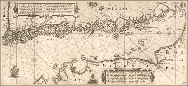
Place/Date:
Amsterdam / 1608
Size:
22 x 10 inches
Condition:
VG+
Stock#:
57393
1608 rare Blaeu map showing the Baltic Countries.

Place/Date:
London / 1671
Size:
21.3 x 9.5 inches
Condition:
VG
Stock#:
69660

Place/Date:
London / 1730 circa
Size:
38 x 24 inches
Condition:
VG
Stock#:
87788
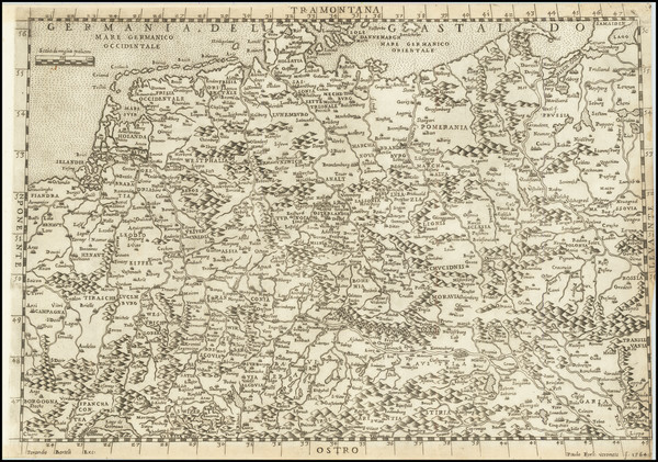
Place/Date:
Venice / 1564
Size:
14.3 x 10.2 inches
Condition:
VG+
Stock#:
73754

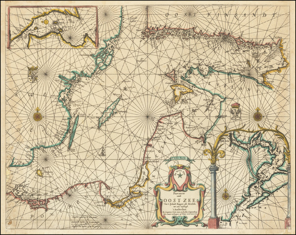
Place/Date:
Amsterdam / 1669
Size:
21.5 x 17.5 inches
Condition:
VG+
Stock#:
83731
Place/Date:
Augsburg / 1720 circa
Size:
42 x 12 inches
Condition:
VG
Stock#:
53823
Rare map showing the Baltic Countries by Werner, 1720.
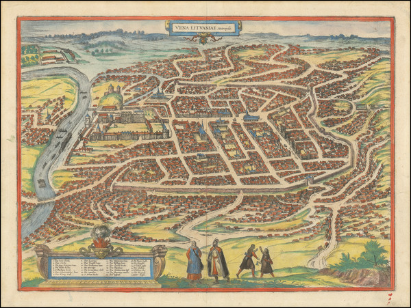
Place/Date:
Vilnius, Lithuania / 1864
Size:
13 x 11 inches (each sheet)
Condition:
VG
Stock#:
52719
Antique map showing the Baltic Countries by Anonymous made in 1864.
Place/Date:
Antwerp / 1593
Size:
20 x 13 inches
Condition:
VG
Stock#:
75324
Place/Date:
London / 1676
Size:
20 x 15 inches
Condition:
VG+
Stock#:
87239
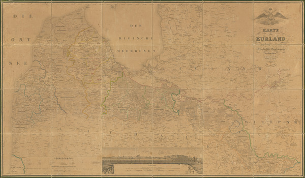
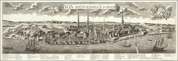
Place/Date:
Mitau (i.e, Jelgava, Latvia) / 1833
Size:
56 x 32.5 inches
Condition:
Good
Stock#:
90034
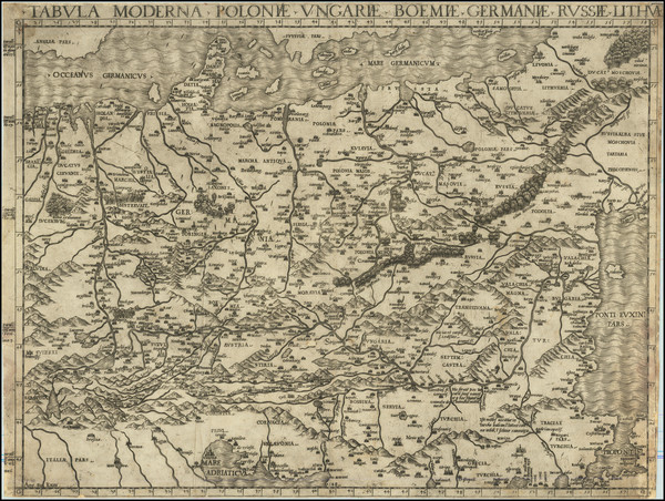
Place/Date:
Frankfurt / 1581
Size:
19.5 x 14.5 inches
Condition:
Good
Stock#:
101391
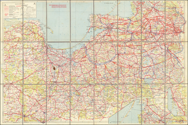
Place/Date:
n.p. (Germany) / 1945 circa
Size:
37 x 24.5 inches
Condition:
VG
Stock#:
65659

Place/Date:
Rome / 1740 circa
Size:
13.5 x 11 inches
Condition:
VG+
Stock#:
69618

Place/Date:
Antwerp / 1593
Size:
20 x 13 inches
Condition:
VG+
Stock#:
65792
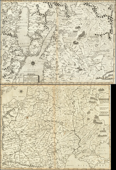
Place/Date:
Amsterdam / 1670 circa
Size:
21.5 x 16.7 inches
Condition:
VG
Stock#:
69546
Place/Date:
Augsburg / 1760 circa
Size:
49 x 15 inches
Condition:
VG
Stock#:
91135
Place/Date:
Amsterdam / 1613 (1645)
Size:
29 x 29.5 inches
Condition:
VG
Stock#:
93184
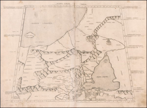
Place/Date:
Rome / 1478 (1490)
Size:
21.5 x 14.5 inches
Condition:
VG
Stock#:
59479
Antique map showing the Baltic Countries by Ptolemy, 1478.
Place/Date:
Antwerp / 1593
Size:
19.5 x 14.5 inches
Condition:
VG
Stock#:
38759se
1593 original de Jode map showing the Baltic Countries.

Place/Date:
Venice / 1568
Size:
19.5 x 15 inches
Condition:
VG
Stock#:
71320
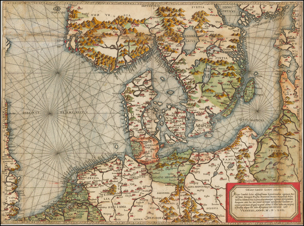
Place/Date:
Venice / 1562
Size:
20.5 x 15.5 inches
Condition:
VG
Stock#:
48348
Rare map showing the Baltic Countries by Camocio made in 1562.
Place/Date:
Rome / 1548
Size:
20.5 x 15.5 inches
Condition:
VG
Stock#:
75082
Place/Date:
Venice / 1568
Size:
19.5 x 30 inches (if joined)
Condition:
VG
Stock#:
75089
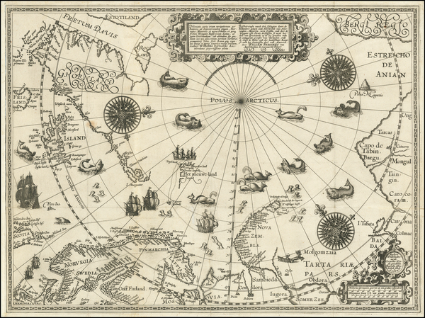
Place/Date:
Amsterdam / 1598
Size:
22 x 16.5 inches
Condition:
VG
Stock#:
62203
16th Century Antique Map /Sea Chart of Polar Regions / Northeast Passage