
Search
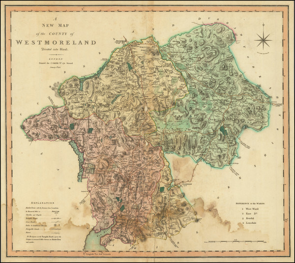
Place/Date:
London / 1786
Size:
7 x 8.5 inches
Condition:
VG+
Stock#:
73821

Place/Date:
London / 1789
Size:
20.5 x 15.5 inches
Condition:
VG
Stock#:
88732
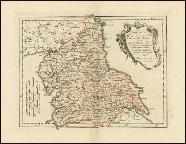
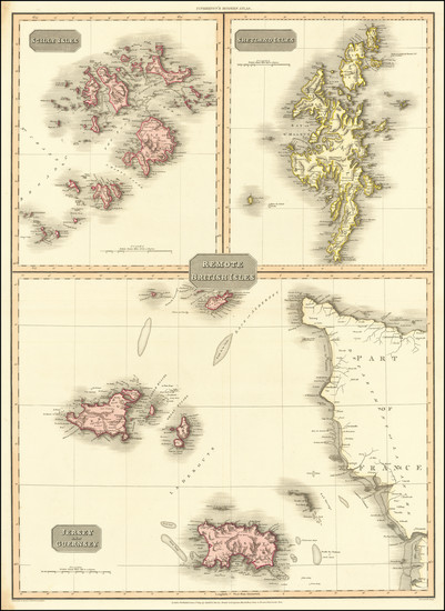
Place/Date:
Vienna / 1789
Size:
11.5 x 8.6 inches
Condition:
VG
Stock#:
103743
Place/Date:
Vienna / 1789
Size:
11.5 x 8.6 inches
Condition:
VG
Stock#:
103898
Place/Date:
London / 1801
Size:
18.5 x 21 inches
Condition:
VG
Stock#:
56441
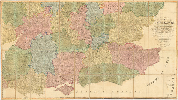
1801 antique Cary map showing British Counties.
Place/Date:
London / 1801
Size:
20.25 x 18 inches
Condition:
Good
Stock#:
75596

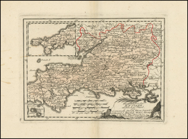
Place/Date:
Paris / 1803 circa
Size:
17.5 x 22.5 inches
Condition:
VG+
Stock#:
85223
Place/Date:
Edinburgh / 1812
Size:
20 x 28 inches
Condition:
VG+
Stock#:
72852
Place/Date:
Edinburgh / 1817
Size:
23 x 20 inches
Condition:
VG
Stock#:
48342
Rare map showing British Counties by Thomson, 1817.
Place/Date:
London / 1818
Size:
22 x 19 inches
Condition:
VG
Stock#:
58123
Original map showing British Counties by Newton made in 1818.
Place/Date:
Leeds / 1822
Size:
21.5 x 165.5 inches
Condition:
VG
Stock#:
53614
Smith's 1822 antique map showing British Counties.
Place/Date:
London / 1828 (1843)
Size:
25 x 19 inches
Condition:
VG
Stock#:
32879mb
British Admiralty's 1828 original map showing British Counties.
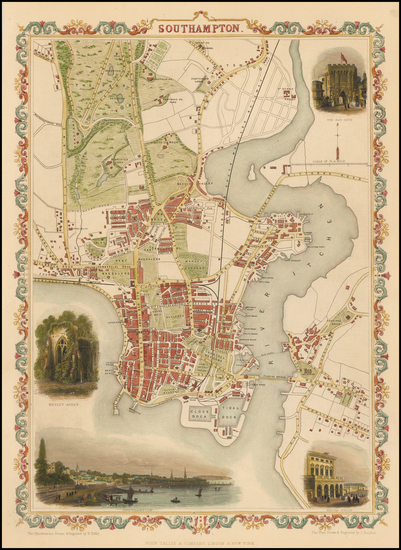
Place/Date:
London / 1835 circa
Size:
14 x 17.5 inches
Condition:
VG
Stock#:
91996
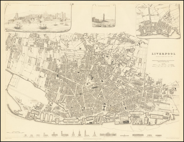
Antique Plan of Liverpool
Place/Date:
London / 1837 circa
Size:
71 x 39.7 inches
Condition:
VG+
Stock#:
97494
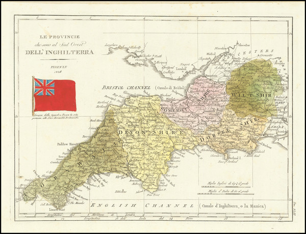
Place/Date:
Florence / 1838
Size:
12 x 8.5 inches
Condition:
VG+
Stock#:
82228
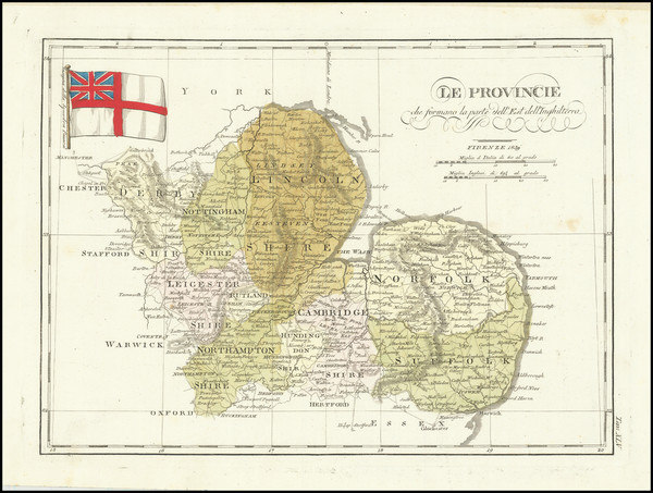
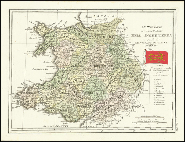
Place/Date:
Florence / 1839
Size:
12 x 9 inches
Condition:
VG+
Stock#:
82154
Place/Date:
Florence / 1839
Size:
12.5 x 9 inches
Condition:
VG+
Stock#:
82448
Place/Date:
Florence / 1839
Size:
12 x 9 inches
Condition:
VG+
Stock#:
82562
Place/Date:
London / 1840 circa
Size:
17.5 x 14 inches
Condition:
VG
Stock#:
47749
Rare map showing British Counties by Unknown, 1840.
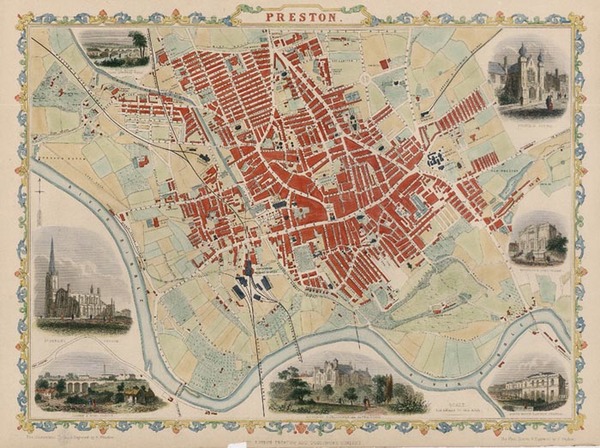
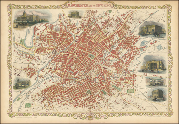
Place/Date:
Manchester / 1845 (updates in circa 1845)
Size:
29 x 29.5 inches
Condition:
See Description
Stock#:
73102
Place/Date:
London / 1850 circa
Size:
10.25 x 7.75 inches
Condition:
VG+
Stock#:
99408
1851 antique Tallis map showing British Counties.
Place/Date:
London / 1851
Size:
9.5 x 13 inches
Condition:
VG+
Stock#:
46638
Original map showing British Counties by Tallis, 1851.
Place/Date:
London / 1851
Size:
13.5 x 9 inches
Condition:
VG+
Stock#:
48069
Tallis's 1851 rare map showing British Counties.
Tallis's 1851 antique map showing British Counties.
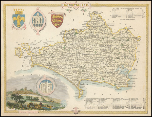
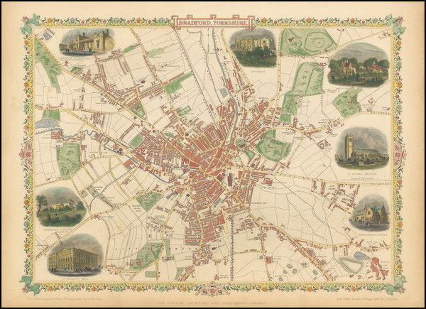
Place/Date:
London / 1851
Size:
14 x 11 inches
Condition:
VG
Stock#:
67507
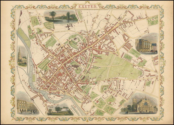
Place/Date:
London / 1851
Size:
14 x 10 inches
Condition:
VG+
Stock#:
94547
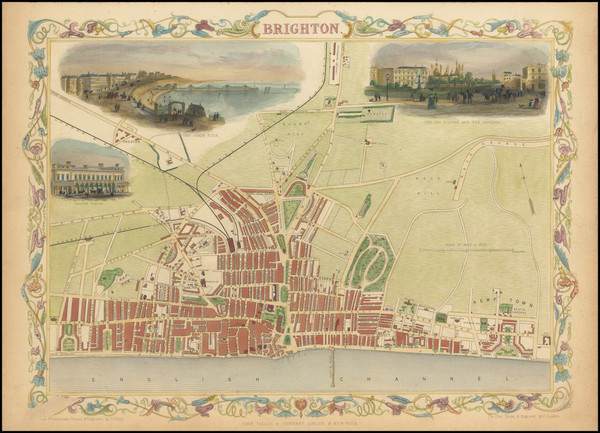
Place/Date:
London / 1851
Size:
12.75 x 9.25 inches
Condition:
VG+
Stock#:
94559
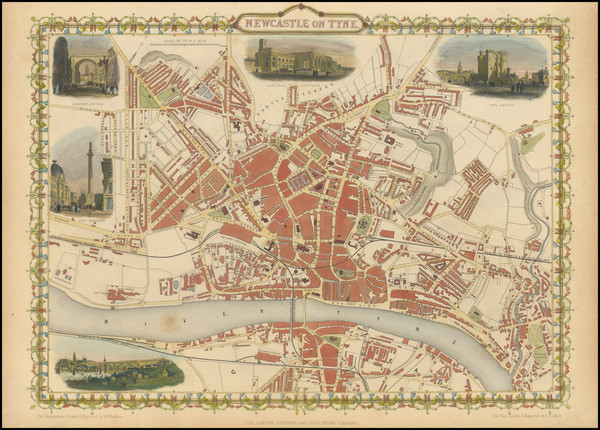
Place/Date:
London / 1851
Size:
13 x 10 inches
Condition:
VG+
Stock#:
94560
Place/Date:
London / 1851
Size:
13 x 10 inches
Condition:
VG+
Stock#:
94566
Place/Date:
London / 1851
Size:
19.25 x 13.75 inches
Condition:
VG
Stock#:
94574
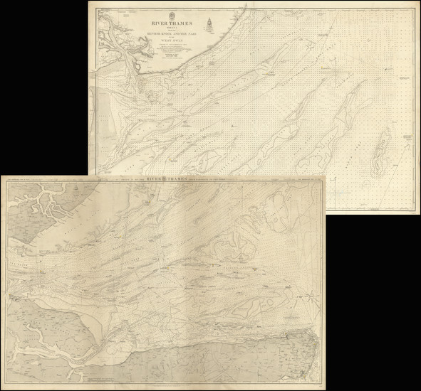
Place/Date:
London / 1858
Size:
37.75 x 24.5 inches (each)
Condition:
VG
Stock#:
91946
Place/Date:
London / 1910 circa
Size:
16 x 10 inches
Condition:
VG
Stock#:
29605
Bacon & Co.'s 1910 original map showing British Counties.
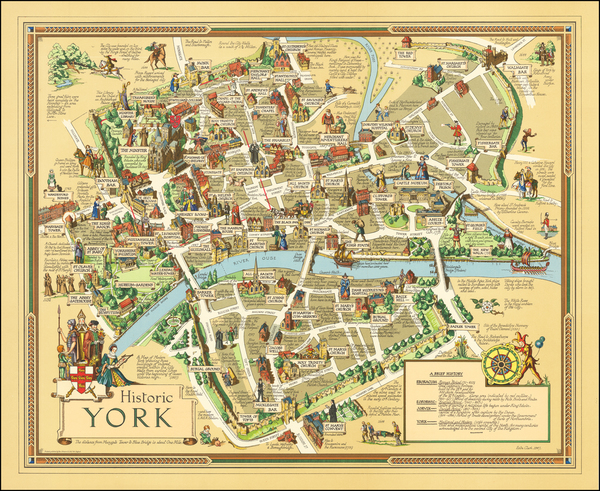
Place/Date:
York / 1947
Size:
25.5 x 21 inches
Condition:
VG+
Stock#:
62383
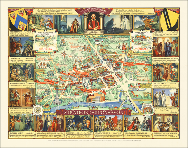
Place/Date:
London / 1948
Size:
24 x 18 inches
Condition:
VG+
Stock#:
62670
Authentic Original Pictorial Map -- Stratford-upon-Avon