
Search
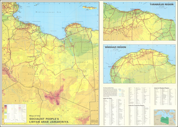
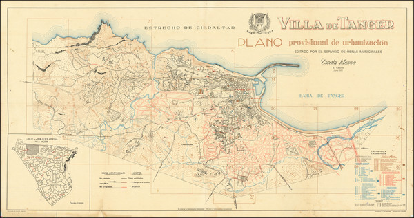
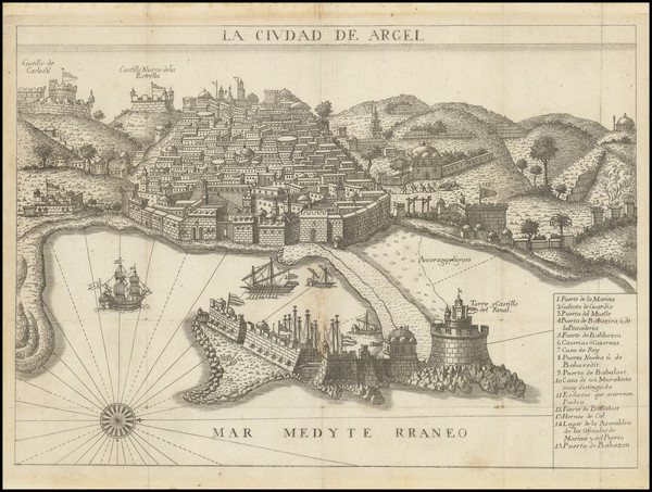
Place/Date:
Beirut / 1985 circa
Size:
19.5 x 25 inches Primary map
Condition:
VG+
Stock#:
93830
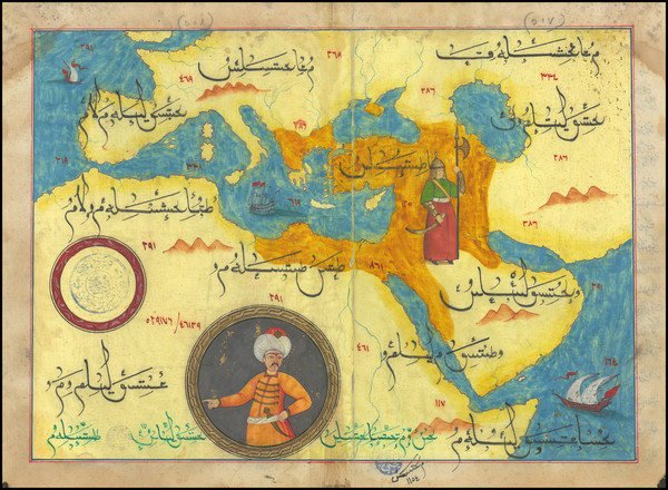
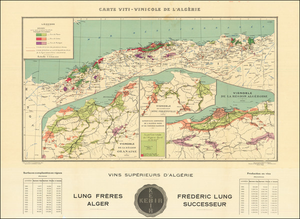
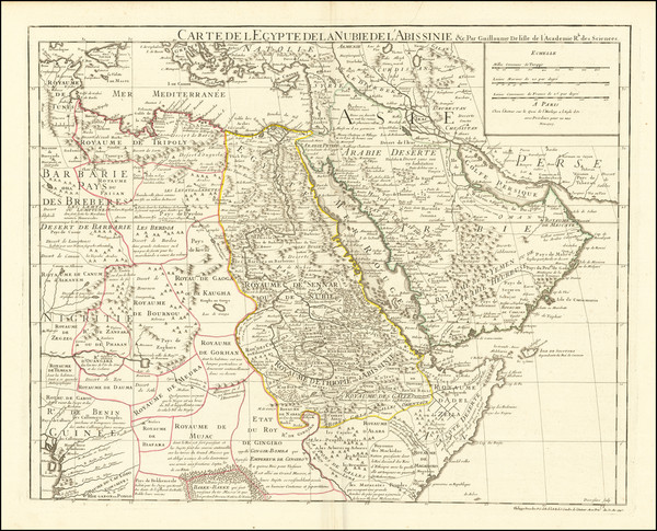
Place/Date:
n.p. [Turkey] / 1970 circa
Size:
13 x 9.25 inches
Condition:
VG
Stock#:
99654
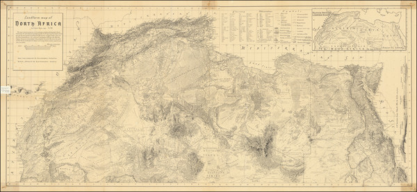
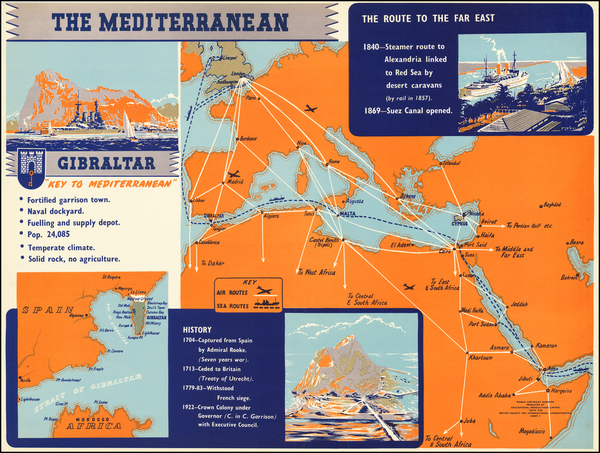
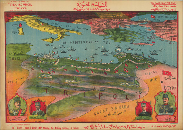
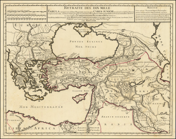
Place/Date:
Cambridge, MA / 1967
Size:
45.5 x 20.5 inches
Condition:
VG
Stock#:
91614
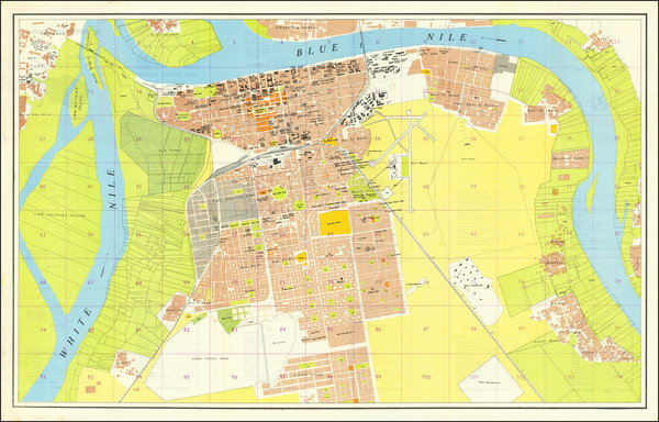
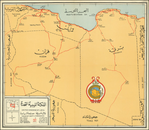
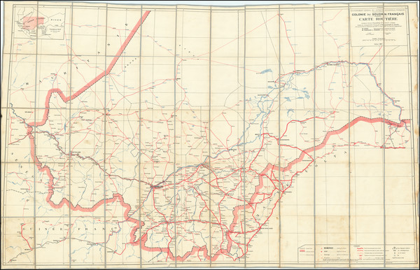
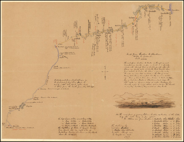
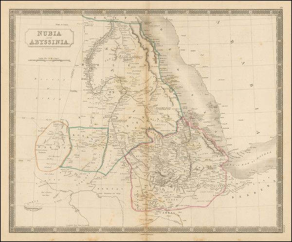
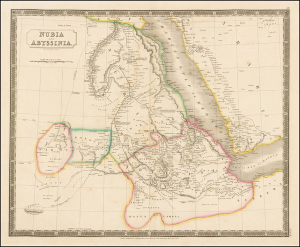
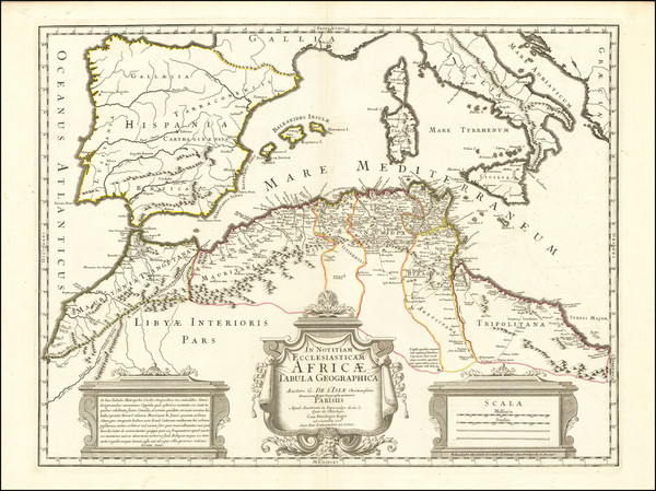
Place/Date:
Khartoum, Sudan / 1963
Size:
34.5 x 21.5 inches
Condition:
VG+
Stock#:
73073
Place/Date:
n.p. / 1960 circa
Size:
25.5 x 22.2 inches
Condition:
VG
Stock#:
90964mj
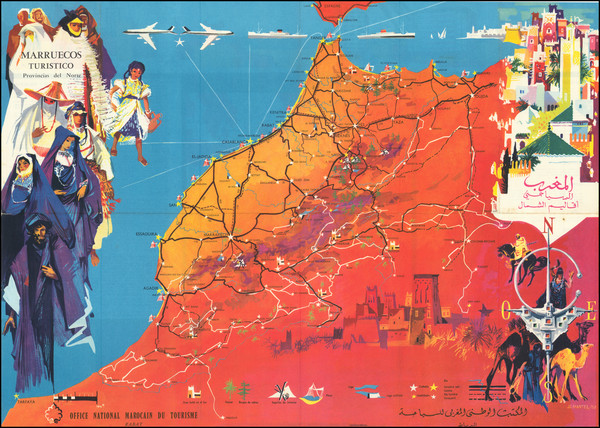
Place/Date:
n.p. / 1958 circa
Size:
29.25 x 22.8 inches
Condition:
VG+
Stock#:
96404
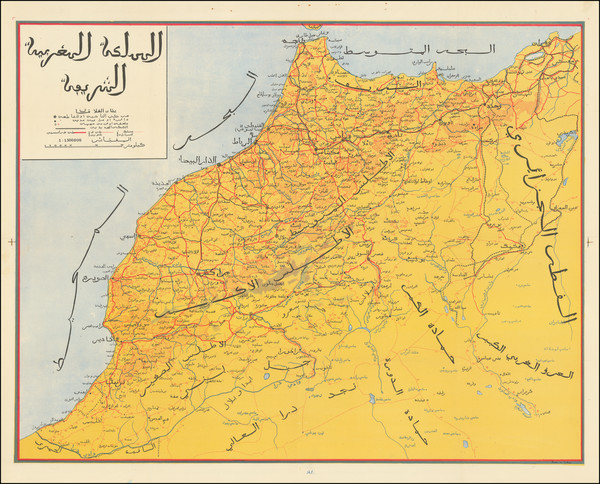
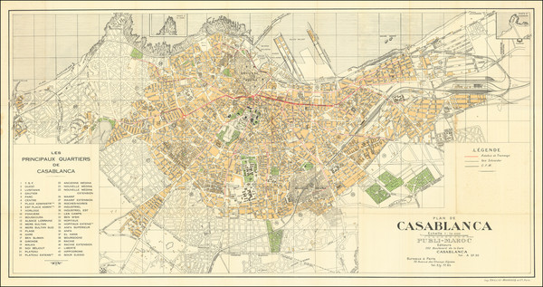
Place/Date:
Rabat / 1958
Size:
23.5 x 16.75 inches
Condition:
VG
Stock#:
97591
Place/Date:
n.p. / 1952 circa
Size:
23 x 17.5 inches
Condition:
VG+
Stock#:
62896
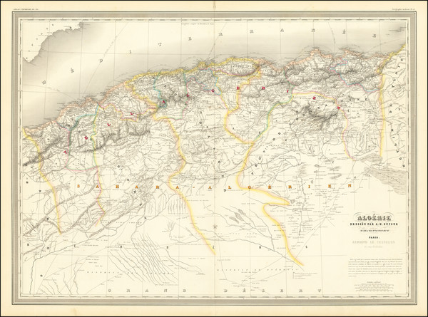
Place/Date:
Paris / 1950 circa
Size:
48 x 25 inches (including text)
Condition:
VG
Stock#:
74709
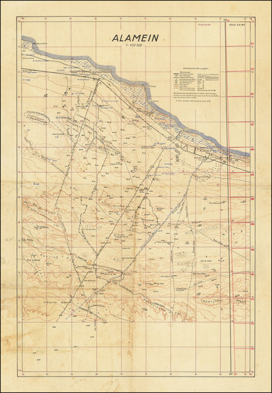
Place/Date:
n.p. / 1942 2 August
Size:
19 x 28 inches
Condition:
VG
Stock#:
79422
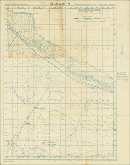
Place/Date:
n.p. / 1942
Size:
19 x 24 inches
Condition:
Good
Stock#:
79424
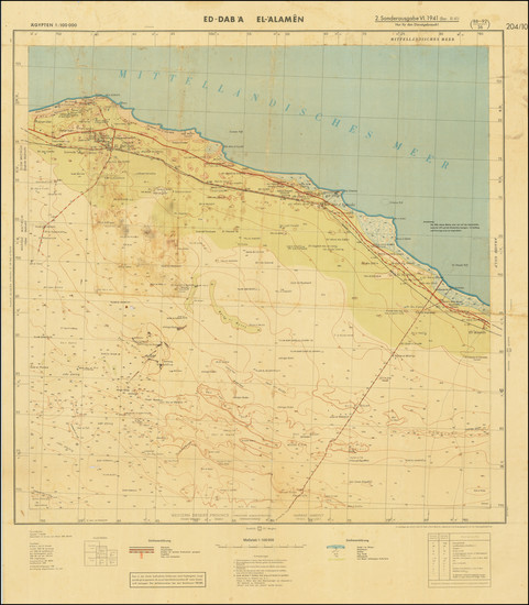
Place/Date:
Germany / 1941 (1942)
Size:
25 x 30 inches
Condition:
VG
Stock#:
79421
Place/Date:
Valencia, Spain / 1935
Size:
37.5 x 19.25 inches
Condition:
VG
Stock#:
91173
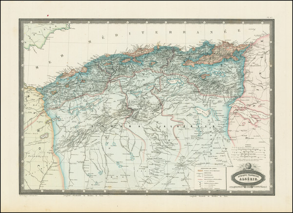
Place/Date:
Algiers / 1927
Size:
29.25 x 16.5 inches
Condition:
VG
Stock#:
97857
Place/Date:
Dakar / 1927
Size:
62 x 39.7 inches
Condition:
VG
Stock#:
100560
Place/Date:
Cairo / 1912
Size:
26 x 19.5 inches
Condition:
VG
Stock#:
95534
Place/Date:
n.p. / 1896
Size:
37 x 26.5 inches
Condition:
VG
Stock#:
74939
Place/Date:
London / 1882
Size:
20.5 x 16 inches
Condition:
VG
Stock#:
93860
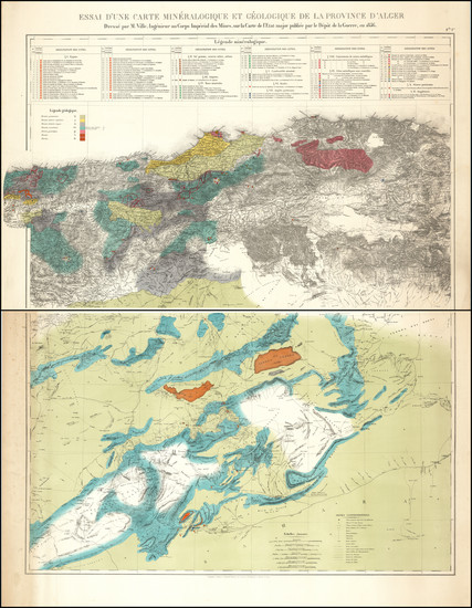
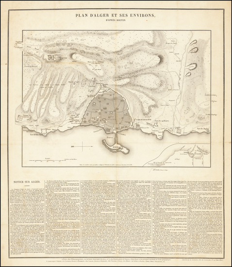
Place/Date:
Algiers / 1881
Size:
51.5 x 39 inches (if joined)
Condition:
VG+
Stock#:
85283
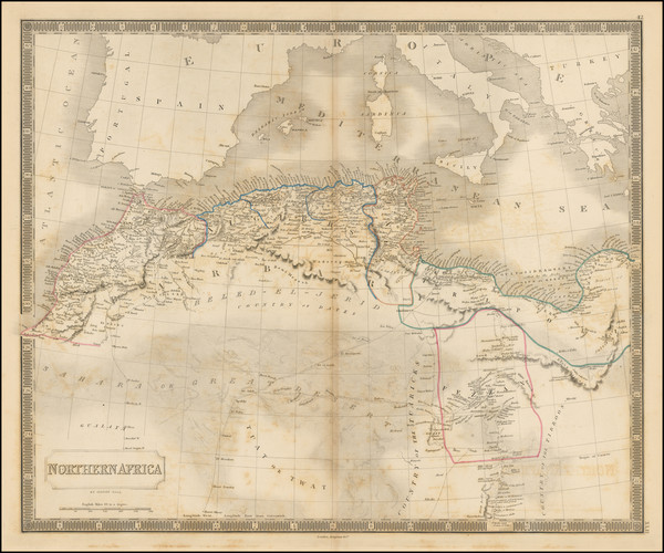
Place/Date:
Paris / 1874
Size:
13 x 15.5 inches
Condition:
VG
Stock#:
64483
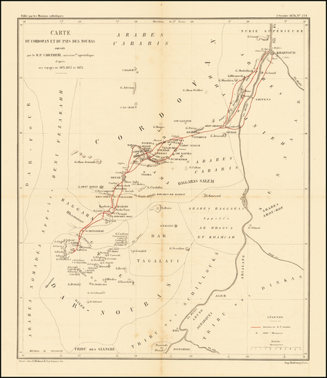
Antique Map of a Missionary Expedition into Sub-Saharan Africa
Place/Date:
Sudan ? / 1874
Size:
16.5 x 12.5 inches
Condition:
VG
Stock#:
99190
Place/Date:
Paris / 1860
Size:
19 x 13 inches
Condition:
VG+
Stock#:
86679
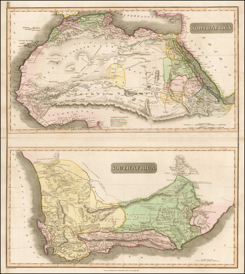
Place/Date:
Paris / 1856
Size:
34.25 x 43 inches (if joined)
Condition:
VG
Stock#:
97860
Place/Date:
London / 1851
Size:
13 x 9.5 inches
Condition:
VG+
Stock#:
83212
Place/Date:
Paris / 1850
Size:
30 x 21.5 inches
Condition:
VG+
Stock#:
73426rd
Place/Date:
London / 1848
Size:
19.8 x 16.4 inches
Condition:
VG
Stock#:
101736
Place/Date:
London / 1848
Size:
19.8 x 16.4 inches
Condition:
VG
Stock#:
101960
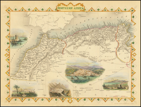
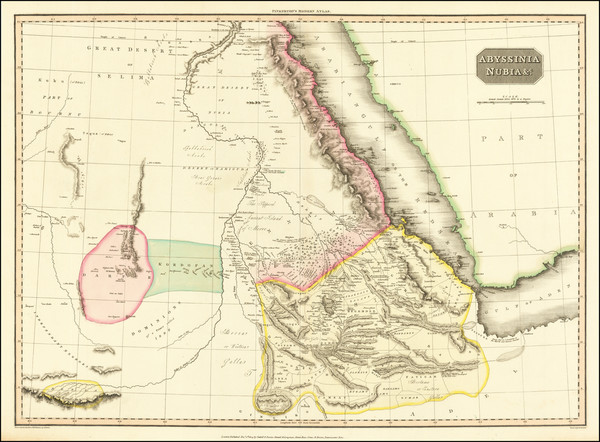
Place/Date:
London / 1845
Size:
15.5 x 13 inches
Condition:
VG+
Stock#:
95454
Place/Date:
London / 1845
Size:
15.5 x 12.5 inches
Condition:
VG+
Stock#:
95455
Place/Date:
Paris / 1844
Size:
20 x 15.5 inches
Condition:
VG
Stock#:
85187
Place/Date:
London / 1840
Size:
24 x 20 inches
Condition:
VG
Stock#:
65561

Place/Date:
London / 1840
Size:
24.5 x 19.5 inches
Condition:
Stock#:
89019
Place/Date:
St. Petersburg / 1836
Size:
5.3 x 6.5 inches
Condition:
VG+
Stock#:
66634
Place/Date:
Paris / 1830
Size:
16.5 x 19 inches
Condition:
VG
Stock#:
64293
Place/Date:
London / 1828 circa
Size:
21 x 17 inches
Condition:
VG
Stock#:
35199
Hall's 1828 antique map showing North Africa.
Place/Date:
Edinburgh / 1813
Size:
23 x 20 inches
Condition:
VG
Stock#:
48322
1813 antique Thomson map showing North Africa.
Place/Date:
London / 1812
Size:
27.5 x 20 inches
Condition:
VG
Stock#:
73295
Place/Date:
Weimar / 1806
Size:
15.5 x 11 inches
Condition:
VG+
Stock#:
54649
Weimar Geographische Institut's 1806 rare map showing North Africa.
Place/Date:
Weimar / 1804
Size:
21 x 18.5 inches
Condition:
VG+
Stock#:
77586
Place/Date:
London / 1804
Size:
20.5 x 18 inches
Condition:
VG+
Stock#:
85780
Place/Date:
London / 1794
Size:
26.5 x 16 inches
Condition:
VG
Stock#:
49130
1794 antique Laurie & Whittle map showing North Africa.
Place/Date:
Venice / 1775
Size:
21.4 x 17.9 inches
Condition:
VG+
Stock#:
102840
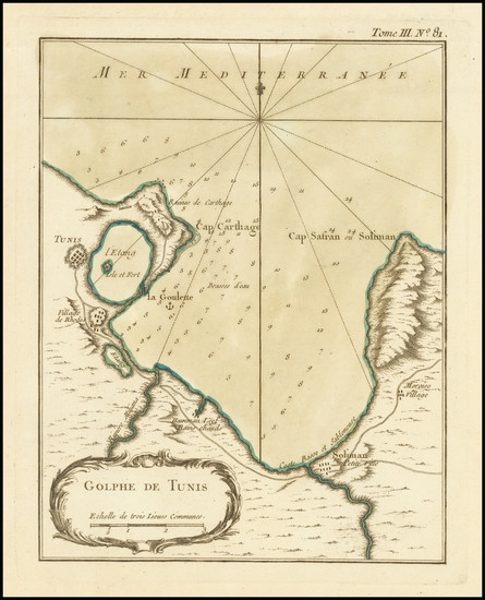
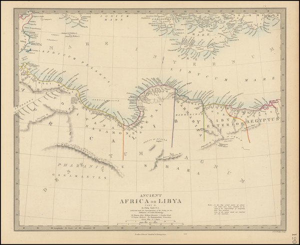
Place/Date:
Paris / 1764
Size:
7 x 9 inches
Condition:
VG+
Stock#:
73320
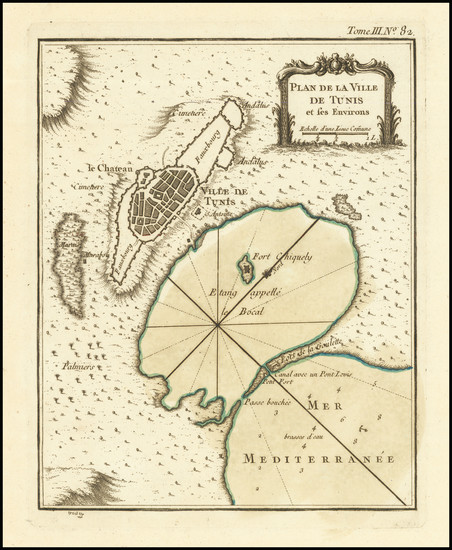
Place/Date:
Paris / 1764
Size:
6.7 x 8.5 inches
Condition:
VG+
Stock#:
73371
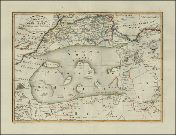
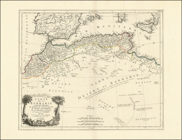
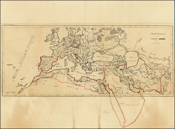
Place/Date:
Paris / 1753
Size:
34.5 x 21.5 inches
Condition:
VG
Stock#:
77475
Place/Date:
Madrid / 1750 circa
Size:
11.75 x 8.25 inches
Condition:
Good
Stock#:
96445
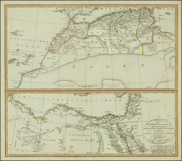
Place/Date:
Paris / 1745
Size:
24 x 19 inches
Condition:
VG+
Stock#:
77305
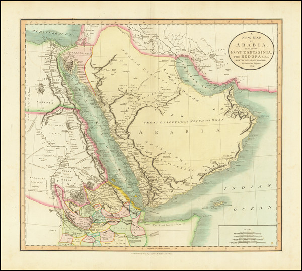
Place/Date:
Paris / 1745
Size:
22.5 x 17.5 inches
Condition:
VG+
Stock#:
82001
1745 rare Buache map showing North Africa.
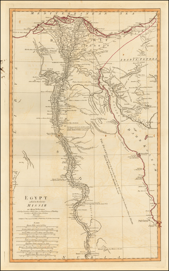
Place/Date:
Paris / 1745
Size:
25 x 19 inches
Condition:
VG+
Stock#:
94316
Place/Date:
n.p. (Paris) / 1740 circa
Size:
24 x 14.5 inches
Condition:
VG
Stock#:
82000