|
||

|

|
|

|
Stock# 6563
Description
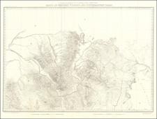
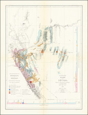
One of the earliest separately issued maps of Utah to appear in a Commecial Atlas. Highly detailed, showing towns, mines, roads, railroads, mountains, rivers, Indian Reservations, military reserves, post offices, forts, lakes, etc. Remarkably detailed. Colored by county. From the earliest obtainable edition of Rand McNally's Indexed Atlas, preceded only by extremely rare Business Atlas editions.