This item has been sold, but you can enter your email address to be notified if another example becomes available.


|
||

|

|
|

|
Stock# 52107
Description
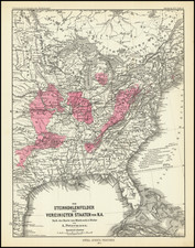
Interesting and detailed map of the United States and Canada, extending nearly to the Rocky Mountains.
Texas is named in its final year as a Republic, with at least a dozen place names and shows the road from Natchitoches to the Presidio de Rio Grande.
The west and old northwest are dominated by the Huron, Sioux, Mandan, Osage and Ozark Districts, with many Indian tribes located therein. Arkansas is shown as a territory. Michigan is still a Territory.
There are a number of early roads and forts located throughout the map.
An excellent early edition of the map, following the first edition of 1837.
![[ Catholic Dioceses and Missions in the United States ] Karte der katholischen Dioecesen und der en Missionen in Nordamerika nach den nuesten geographischen Angaben... 1845](https://storage.googleapis.com/raremaps/img/small/98630.jpg)