The item illustrated and described below is sold, but we
have another example in stock. To view the example which
is currently being offered for sale, click the
"View Details" button below.


|
||

|

|
|

|
Stock# 45921
Description
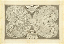
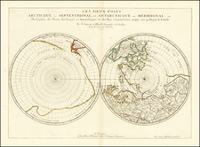
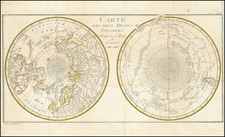
Fine example of this rare double hemisphere map of the World on a polar projection.
The map illustrates the contemporary knowledge of the Polar latitudes, including the routes of Abel Tasman, James Cook, Edmund Halley, Furneaux and Marion, in the South Polar Regions. The map is derived from works on the French Exploration of the South Pacific issued after 1773.
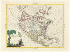
The treatment of the NW Coast of America also reflects the information derived from Russian explorers in the mid-18th Century.