
The item illustrated and described below is sold, but we
have another example in stock. To view the example which
is currently being offered for sale, click the
"View Details" button below.


|
||

|

|
|

|
Stock# 39288
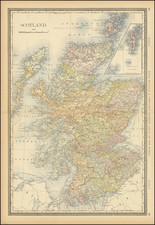
Description
Highly detailed map of Scotland, colored by counties and showing towns, lakes, rivers, railroads, roads, etc. Includes inset map of Shetland Islands.
A marvelous map for research and geneology. Probably the most detailed American Map of the region produced in the 19th Century.
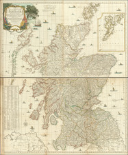
![[ Scotland ] North Britain or Scotland Divided into its Counties Corrected from the best Surveys . . .](https://storage.googleapis.com/raremaps/img/small/102877.jpg)
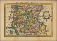

![[ Scotland -- Rare Siena Imprint ] Parte Settentrionale della Scozia . . . 1795 [and] Parte Meridionale della Scozia . . . 1795](https://storage.googleapis.com/raremaps/img/small/102864.jpg)
![[Pictish Man Holding Sword and Pike] Alterius viri Pictis vicini icon IIII](https://storage.googleapis.com/raremaps/img/small/99890.jpg)