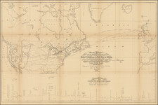
|
||

|

|
|

|
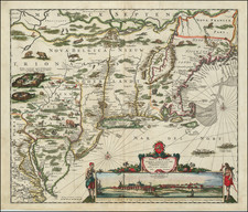
Fine early map of the east coast of North America, first published by Bertius and Jodocus Hondius Jr. in 1616.
The map extends from Cape May, Florida in the south to Labrador, deriving from the Jodocus Hondius World Map of 1611.
The map over-emphasizes the coastal regions of Virginia and Nova Scotia, thereby distorting the remaining geographical details.
One of the earliest obtainable maps of the east coast of North America.
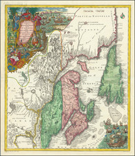
Barent Langenes was a Dutch publisher and engraver at the turn of the seventeenth century. He worked in Middleburg, Netherlands. He is best known for his publication of Petrus Bertius’ Caert-Thresoor in 1598. This pocket world atlas was small, printed in the vernacular, and was more affordable than folio-sized competitors, allowing more people to own and use atlases. The atlas was a commercial success and was printed twelve times in Dutch, French, Latin, and German editions between 1598 and 1650, although Langenes was most likely only involved in the first two Dutch editions (1598 and 1599).