


|
||

|

|
|

|
Stock# 100489
Description
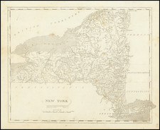
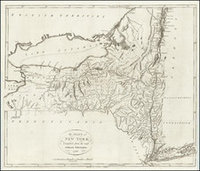
Detailed map of the State of New York from Mathew Carey's Pocket Atlas. Includes remarkable detail for a small map. The map was engraved by Barker and first published, in Philadelphia, in 1796.
States of the Map
The map is known in 4 states:
- State 1 (1796): No roads.
- State 2 (1801): Roads have been added across the face of the map. Many placenames added (e.g., "Champlain").
- State 3 (1805): Ruled line engraved above title.
- State 4 (1813): The plate extensively reworked. Placenames have been added in Canada, such as "Welland".
Condition Description
Engraving on early-19th-century wove paper.
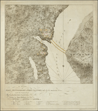
![(New York-Robert C. Livington) [Revolutionary-Era Land Indenture]](https://storage.googleapis.com/raremaps/img/small/91957.jpg)
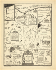
![[Cyclist Atlas]](https://storage.googleapis.com/raremaps/img/small/88491.jpg)